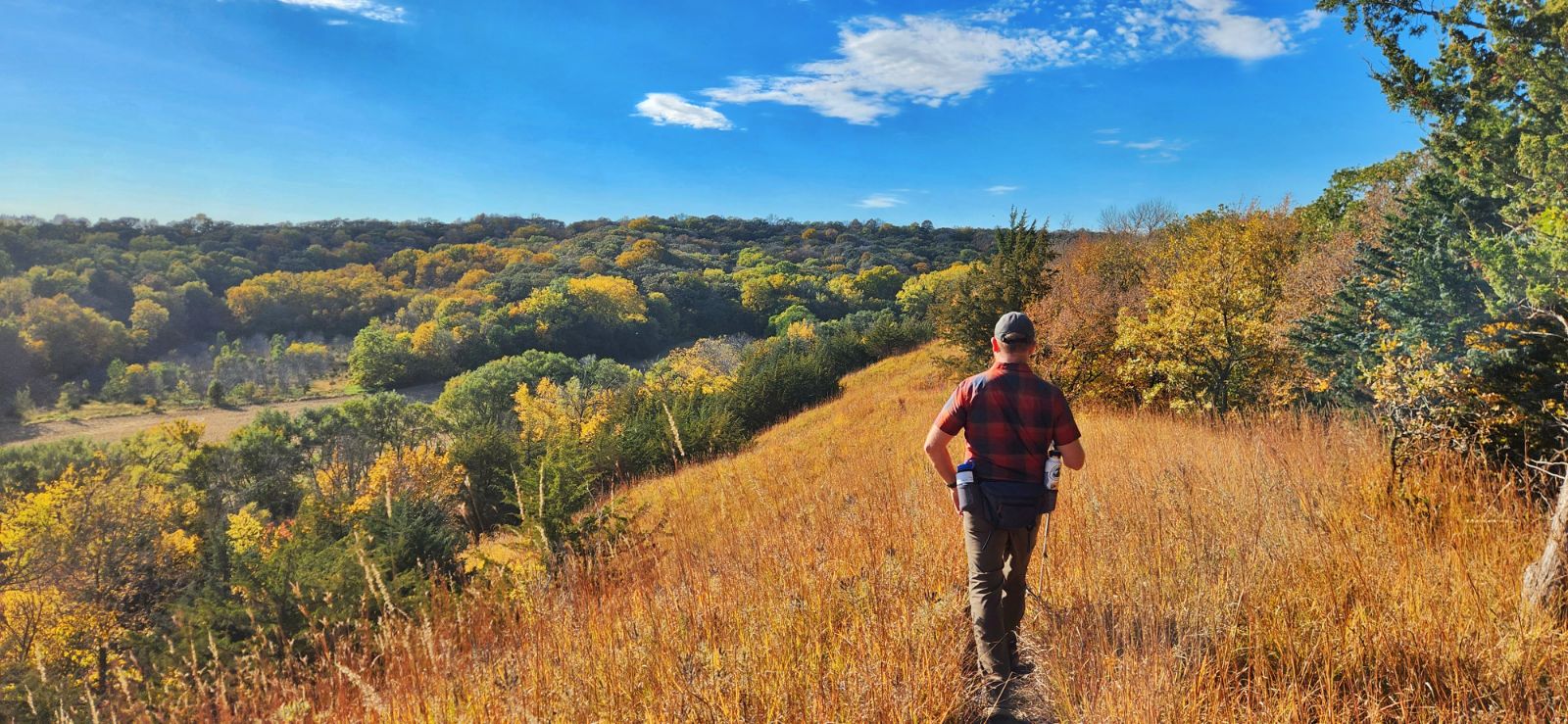
Brent's Trail in Harrison County (photo by Lance Brisbois)
New Year's Day was celebrated by many who took a hike on the Iowa side. First Day Hikes were held at several parks in western Iowa: more than 40 people hiked the canyon and forest trails at Preparation Canyon State Park in Monona County; more than 150 people joined park staff on a two-mile hike at Waubonsie State Park in Fremont County; and a great group hiked the trails at Prairie Rose State Park in Shelby County.
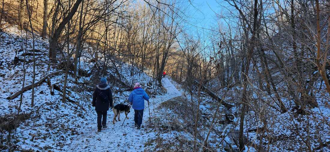
Hikers exploring Preparation Canyon State Park on the First Day Hike
Hiking and walking are excellent ways to get outdoors. The Loess Hills Missouri River Region has many miles of beautiful public hiking and walking trails. The WanderLoess Backcountry Hikes page includes some of the more rugged and longer hikes in Harrison, Mills, and Pottawattamie counties. Golden Hills RC&D has also developed an online Loess Hills Hiking Guide with a map of places to hike throughout the seven-county Loess Hills region. This list expands on that and includes hiking trails and walking paths for all ages and abilities in the Loess Hills Missouri River region. Is your favorite hiking or walking trail missing? Let us know!
However, don't think that the only hiking trails in western Iowa are in the Loess Hills! There are many great public areas in counties outside the Loess Hills that offer quiet and tranquil trails to explore any season of the year. Whiterock Conservancy in Guthrie County is celebrating its 20th anniversary this year. For more hiking locations throughout western Iowa, check out our series about hiking the three scenic byways that Golden Hills coordinates in western Iowa: Glacial Trail Scenic Byway, Loess Hills National Scenic Byway, and Western Skies Scenic Byway.
For specific trail recommendations, we have you covered too!
If you like to take your canine companion hiking, make sure you know about the rules and regulations of the public area where you intend to hike. Check out our blog post Hiking with Dogs in Western Iowa for more information. 
Dogs on leashes are allowed at Hitchcock Nature Center (photo by Seth Brooks)
Other hiking resources to check out: The Iowa by Trail app includes hiking trails across Iowa. REI’s Hiking Project has info about hiking trails nationwide. AllTrails has maps and reviews of hundreds of trails in the state. The book Hiking Iowa has more detailed summaries of some of the best hikes across the state (look for the second edition by Golden Hills' Seth Brooks in July 2024).
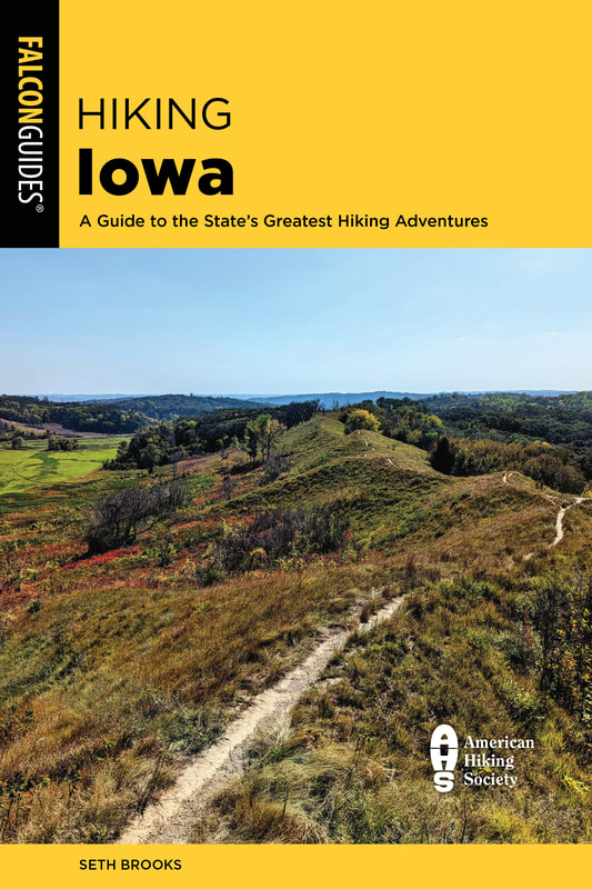
The second edition of Hiking Iowa will be released in July 2024
Do some research before heading out, as nature centers, restrooms, campgrounds, and other public facilities may have reduced seasonal hours. Come prepared with snacks and water. Stay on trails and obey private property boundaries. Only take dogs where they are allowed, keep them on a leash, and pack out their waste. Take a bag to carry out any of your trash, too. Stay safe, and take a hike!
Arrowhead Park - Hiking trails wind through wooded hillsides around a beautiful pond popular for fishing and paddling. Arrowhead Park trails map.
Botna Bend Park - Best known for live elk and bison, Botna Bend includes nature trails through prairies and woods along the West Nishnabotna River in Hancock. Botna Bend map. 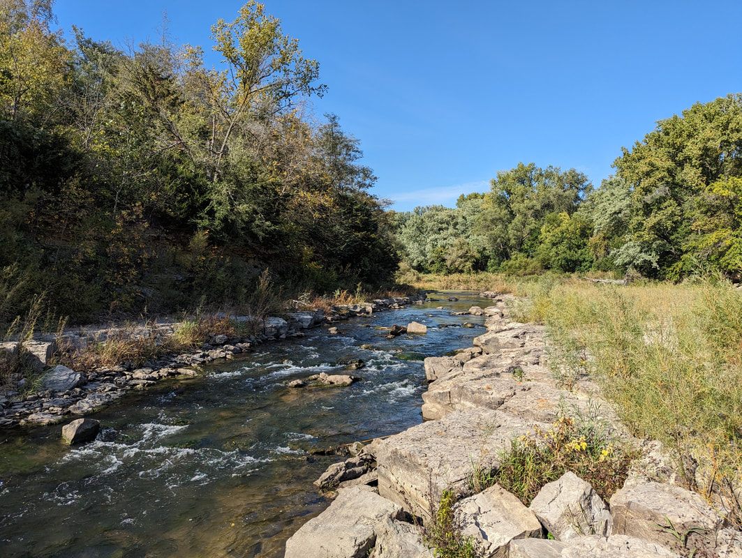
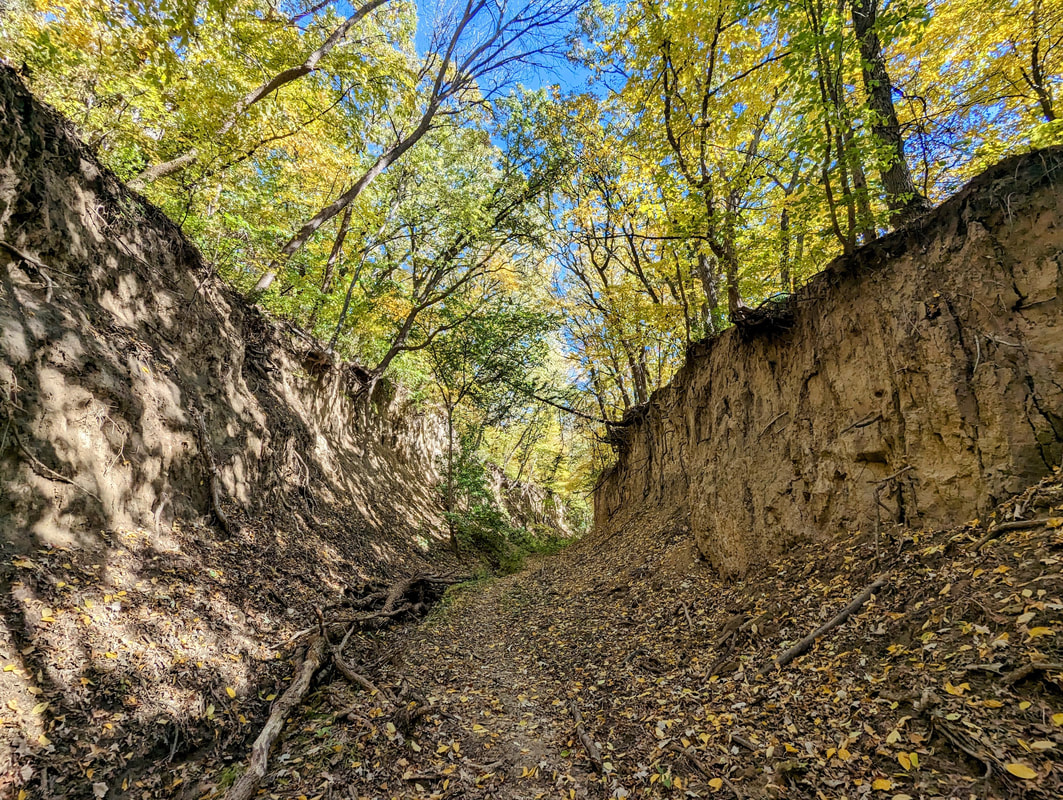
Nishnabotna Rock Cut Trail at Cold Springs Park in Cass County (photo by Seth Brooks)
Cold Springs Park - This 140-acre park is located south of Lewis, about 10 miles south of Atlantic. The highlight is the 0.7-mile Nishnabotna Rock Cut Trail (1.5 miles roundtrip) that leads to an unusual limestone outcropping on the East Nishnabotna River.
Council Bluffs trails - More than 40 miles of mostly-flat, paved trails connect the Missouri riverfront with Big Lake Park, Lake Manawa State Park, and much more. Council Bluffs trail map. Desoto National Wildlife Refuge - This refuge includes hiking trails through a large wildlife refuge along the Missouri River. It’s a great place to see wildlife, especially waterfowl and other birds. Desoto refuge brochure & map. Edgington Memorial Park, Avoca - Over a mile of paved, flat trails loop through this city park, along and across the East Branch of the West Nishnabotna River. Trails also connect into nearby neighborhoods. Map of Avoca trails. 
DeSoto National Wildlife Refuge in Harrison County (photo by Lance Brisbois)
Fairmount Park - Fairmount is a hidden gem in the middle of the metro. This city park has a few miles of rugged hiking trails through wooded Loess Hills with scattered prairies and restored oak savanna overlooking Council Bluffs and the Omaha skyline. Map to Fairmount Park.
Folsom Point Preserve - Owned and managed by The Nature Conservancy, this nearly-300 acre area features beautiful remnant prairies overlooking the Missouri River valley just minutes from Council Bluffs and Omaha. Hiking paths lead from the parking area to the ridgetop. Map to Folsom Point. 
Folsom Point Preserve in Mills County (photo by Seth Brooks)
Glenwood Archaeological State Preserve - Located just outside Glenwood, the 900-acre preserve includes paved trails through woods and prairies. Formerly known as Foothills Park, the site is known to have numerous archaeological sites from the prehistoric Glenwood culture. Map to the Glenwood preserve.
Harrison County Welcome Center - In addition to an Iowa Welcome Center and historical village complex, this welcome center just outside Missouri Valley. Welcome Center map. 
Hitchcock Nature Center (photo by Seth Brooks)
Hitchcock Nature Center is Pottawattamie County’s premier hiking destination located near Honey Creek. It has 10 miles of trails through Loess Hills prairies, woodlands and savanna. Hitchcock trail map.
Lewis & Clark Monument Park - With five miles of trails over 80 acres, this Council Bluffs city park features commanding views of the Missouri River, Council Bluffs, and downtown Omaha. The trails are also popular for mountain biking. Lewis & Clark park trail map. Loess Hills State Forest (LHSF) & Preparation Canyon State Park - The state forest and park encompass nearly 12,000 acres over four units in Harrison and Monona counties, with dozens of miles of hiking-only trails.
Loess Hills State Forest (photo by Seth Brooks)
Mile Hill Lake - This park is located along Highway 34 near Glenwood and includes hiking paths through woods, prairies, and a marsh. The lake is popular for fishing and paddling. Map to Mile Hill Lake.
Milliman Park - Logan city park with a short hiking trail. Milliman Park trail map. Oakland City Parks - Oakland has three city parks with popular walking trails. Chautauqua Park includes flat, paved trails near the West Nishnabotna River. Map to Chautauqua Park. Old Town Conservation Area - This area has about 10 miles of hiking trails through prairies and woodlands overlooking the Boyer and Missouri river valleys as well as the community of Missouri Valley. Old Town trail map. 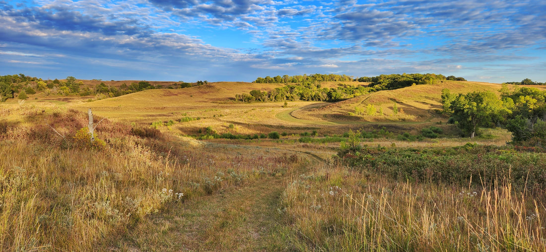
Old Town Conservation Area in Harrison County (photo by Lance Brisbois)
Pleasant View Park - Dunlap city park with short, ADA-accessible walking trail around a smal pond. Pleasant View Park trail map.
Pony Creek Nature Center - Pony Creek features a popular lake, nature center, campgrounds, and rugged Loess Hills hiking trails through woods and prairies. Map to Pony Creek. Ray Thomas Wildlife Preserve - Mills County Conservation Board’s Ray Thomas Preserve in has a mowed walking path through woodlands and restored prairies in eastern Mills County. Map to Ray Thomas preserve. Rock Island Old Stone Arch Nature Trail - This paved trail located primarily in Shelby County extends just into Pottawattamie County with a trailhead near the Shelby exit on Interstate 80. The trail runs west through woods, prairies, wetlands, and creeks and crosses Silver Creek on an historic Stone Arch Bridge. Map to trailhead. Sawmill Hollow Wildlife Area - Known best for a popular fishing hole, Sawmill Hollow has 155 acres of wooded Loess Hills and ridgetop prairie to explore. Sawmill Hollow map. 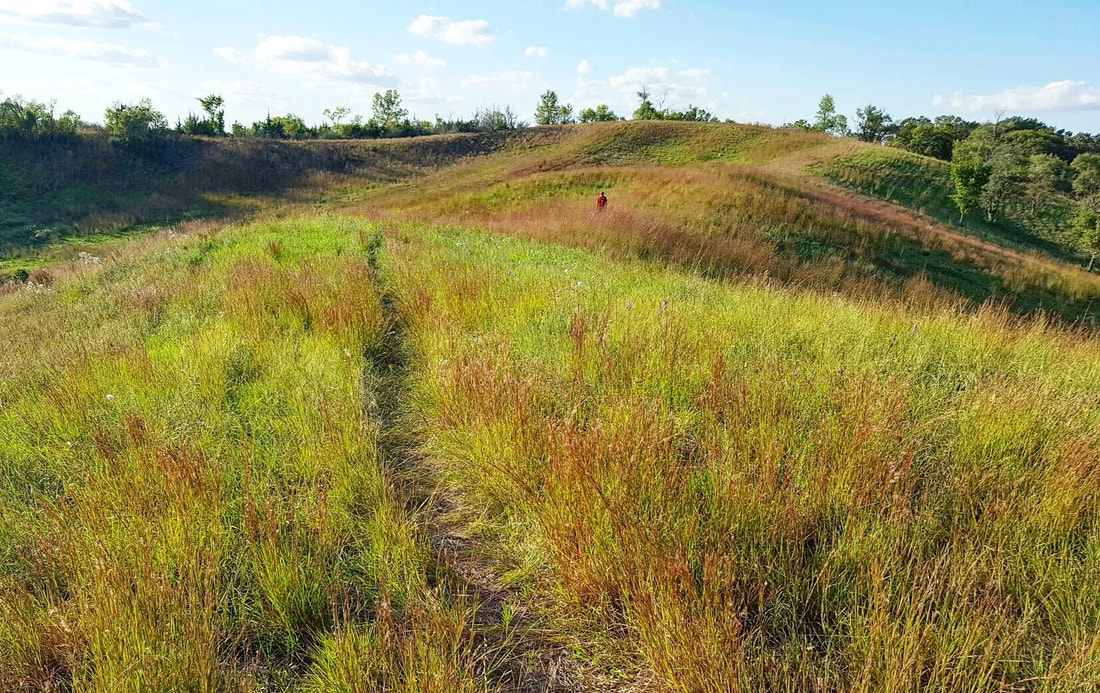
Vincent Bluff State Preserve in Council Bluffs (photo by Lance Brisbois)
Schaben Park - Located near Dunlap in northeastern Harrison County, hiking trails surround a small pond through oak woodlands. Schaben Park trail map.
Smith Wildlife Area - This little-known wildlife area includes 175 wooded acres located immediately outside of Council Bluffs and is open to hiking throughout. Map to Smith Wildlife Area. Vincent Bluff State Preserve - A 42-acre remnant prairie in the middle of Council Bluffs with panoramic views of the city. A short footpath leads from the parking lot to the ridgetop. Map to Vincent Bluff. 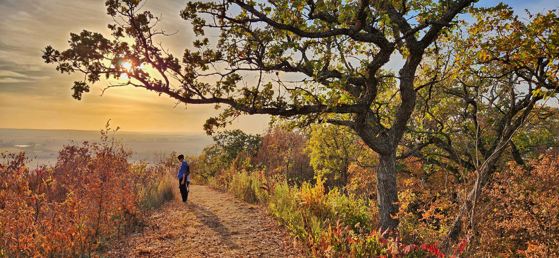
West Oak Forest in Mills County (photo by Lance Brisbois)
Wabash Trace Nature Trail - This crushed limestone trail follows a former railroad line from Council Bluffs to Mineola, Silver City, Malvern, and beyond. It’s also popular with bicyclists. Trailheads are located in each community. Wabash Trace trail map.
West Oak Forest - Hike up steep Loess Hills bluffs overlooking the Missouri River valley between Glenwood and Council Bluffs. More than three miles of trails through woodlands and remnant prairies. Map to West Oak Forest. 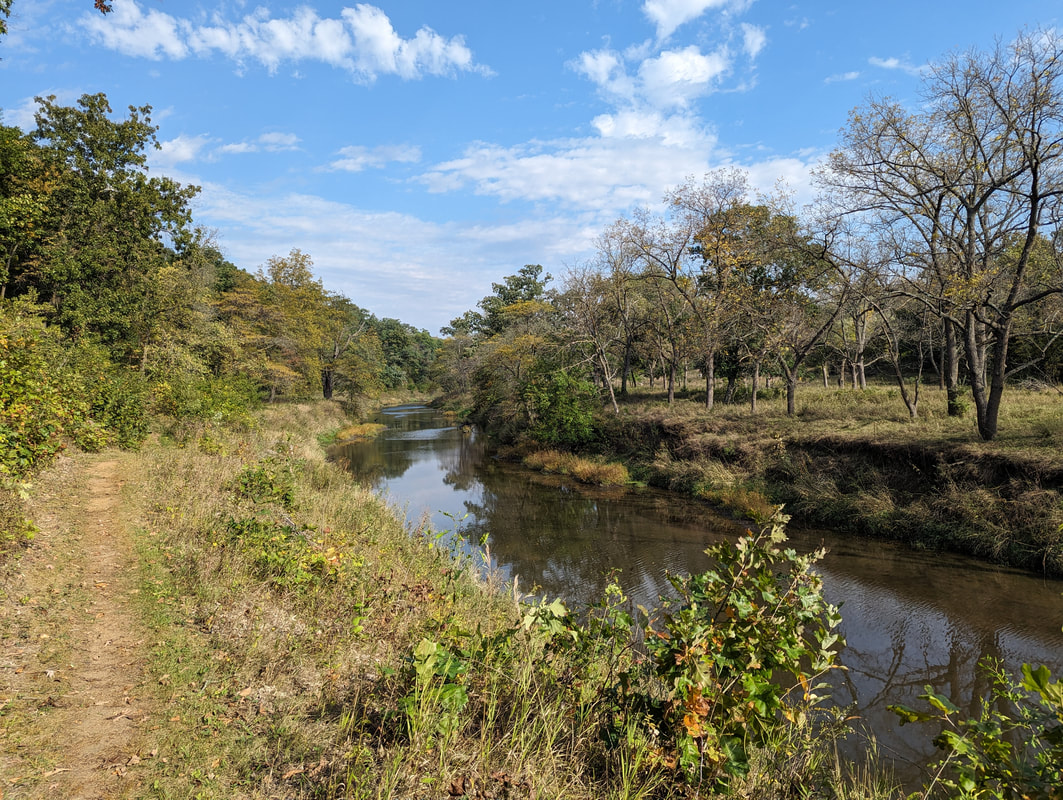
Whiterock Conservancy in Guthrie County (photo by Seth Brooks)
Wheeler Grove Conservation Area - This 247-acre wildlife area in eastern Pottawattamie County has prairies, oak savanna, and woodlands to explore along Jordan Creek. Map to Wheeler Grove.
Whiterock Conservancy - Whiterock Conservancy is a 5,500 acre, nonprofit land trust with more than 40 miles of multi-use trails, which take hikers through savannas, rolling pastures, native and restored prairies, wetlands, riverside bluffs, and fishing ponds. While not in the Loess Hills, exploring this Guthrie County gem is worth the drive. Willow Lake Recreation Area - 220-acre park near Woodbine, including popular lake and campgrounds. Hiking trails wind through Loess Hills prairies and around the lake. Willow Lake map. Wilson Island Recreation Area - Adjacent to Desoto refuge, this 544-acre state-managed area has trails winding through floodplain woodlands near the Missouri River. Wilson Island trail map. In addition to all these great places, take a hike through your yard, farm, or neighborhood. Stop and listen to birds and other wildlife. Look for wildflowers, mosses, and lichens. You’ll be amazed at how much there is to see and do right here in our region! 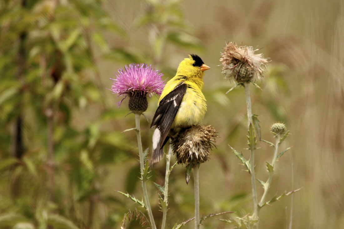
American Goldfinch at Loess Hills State Forest (photo by Carter Oliver)
0 Comments
Leave a Reply. |
Archives
June 2024
Categories
All
|


 RSS Feed