|
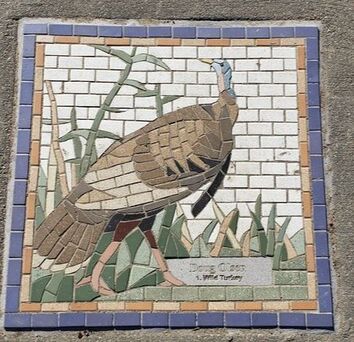
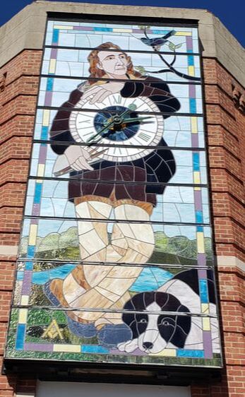
We are approaching the peak of spring bird migration. National Audubon Day is April 26 and May 9 is Global Big Day. Right now is an excellent time to head outdoors to look, listen, and learn. Western Skies Scenic Byway is book-ended by two Bird Conservation Areas (BCAs), which aim to protect bird habitat. The Loess Hills Bird Conservation Area "contains 94,048 acres in Monona and Harrison counties, of which nearly 19,000 acres are protected by conservation easements or publicly owned. Bird diversity here is exceptional, with 249 species identified, including 80 Iowa Species of Greatest Conservation Need. Currently, 111 species are known to nest in this BCA’s prairies, savannas, woodlands, and wetlands." Download a brochure. The Raccoon River Savanna BCA in Guthrie and Carroll counties, "was the tenth to be created in the state of Iowa. Totaling 54,361 acres, this large land tract encompasses three core areas in which conservation measures can be targeted: Whiterock Conservancy, Springbrook State Park, and Elk Grove Wildlife Area. This the first Iowa BCA to focus on savanna, often likened to a transition zone between prairie and forest that is crucial for many of Iowa’s birds. As many as one-third of the state’s 200 breeding birds can be found nesting in this increasingly rare habitat." Download a brochure. Desoto National Wildlife Refuge is the only national refuge along the byway corridor. Each spring and fall, hundreds of thousands of waterfowl migrate through. Bald eagles and many other birds are also frequently seen. Lakes like Prairie Rose, wetlands, prairies, and woodlands are all grate places to view birds. 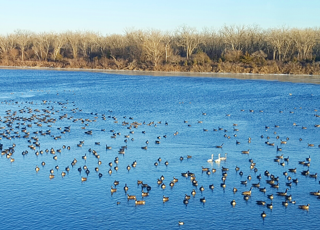 Waterfowl at Desoto in winter. 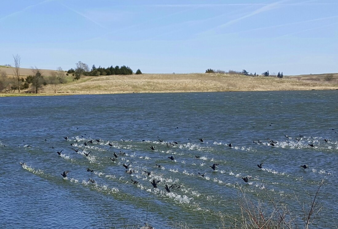 Coots at Prairie Rose. The county and city of Audubon, in the middle of the Byway, are named after famous birder John James Audubon. In downtown Audubon, you will find a statue of Audubon at the city park, a stained glass image of Audubon, and more than 200 tiled bird mosaics inset into the sidewalks. Inside the Audubon Post Office is a mural of John James Audubon and his party during their journey down the Ohio and Mississippi Rivers.
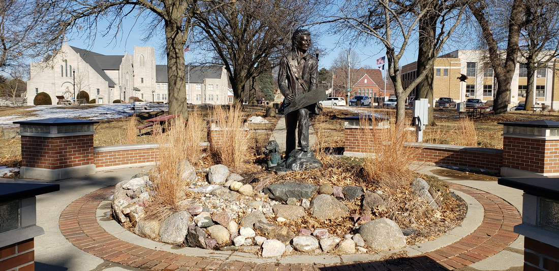 John James Audubon statues & garden in downtown Audubon. As you drive across Audubon County on Highway 44, pay attention to the roads you pass. They're named after birds, alphabetically from west to east (Bluebird, Crane, Dove, Eagle...to Pheasant, Quail, Robin, Swift. Additionally, the Iowa Ornithologists' Union includes several birding hotspots along Western Skies.  Iowa Birding Hotspots Numerous other parks, wildlife areas, and trails exist along the byway and offer ample birding and wildlife-watching opportunities. Head out to any of these areas. Stop, watch, and listen. You'll be surprised at how many birds you'll see and hear!
Other birding resources & links:
0 Comments
As the weather warms up, cabin fever is setting in for many of us. While some of the more popular public areas are busier than ever, many of the less-known parks, wildlife areas and trails are waiting for new visitors.
Hiking, biking, paddling, fishing, hunting, foraging, birding, and many more great outdoor recreation opportunities abound along Western Skies Scenic Byway in western Iowa's Harrison, Shelby, Audubon and Guthrie counties. Most of the byway is within an hour of the Omaha and/or Des Moines metro, but just far enough that you can easily avoid the crowds you'll find in most urban and suburban parks and trails!. Please note that areas may have certain hours or closures (campgrounds, restrooms, and other facilities), so research before you go and explore. Check rules and regulations. Avoid groups ,practice social distancing, and stay home if you are or have recently been ill. Harrison County Desoto National Wildlife Refuge - This refuge includes hiking trails through a large wildlife refuge along the Missouri River. It’s a great place to see wildlife, especially waterfowl and other birds. Desoto refuge brochure & map. 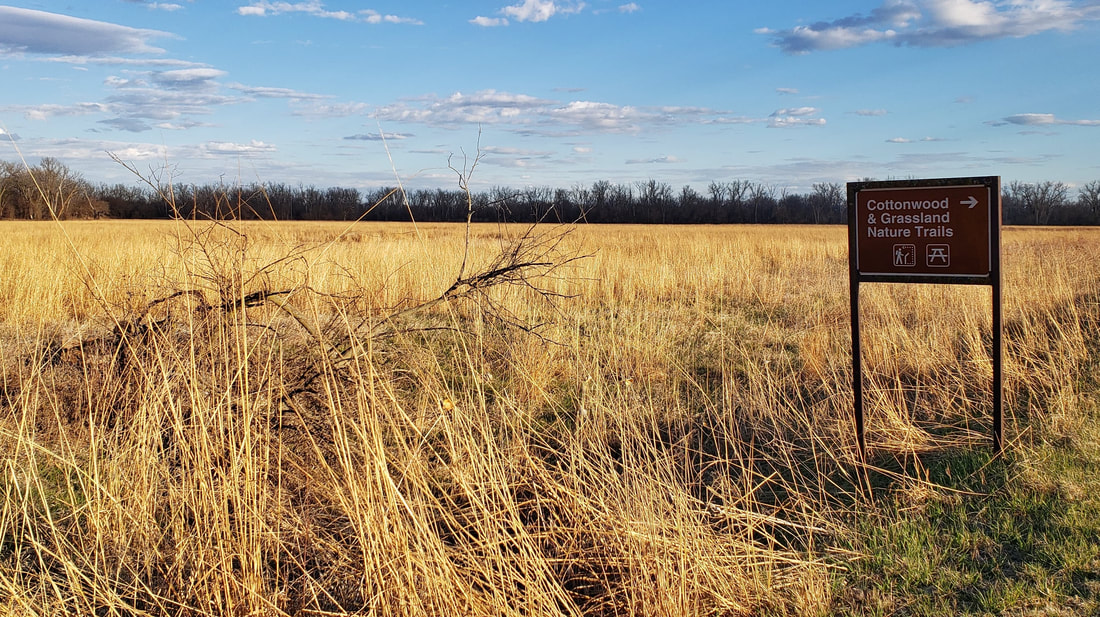
Desoto refuge
Harrison County Welcome Center - In addition to an Iowa Welcome Center and historical village complex, this welcome center just outside Missouri Valley.
Loess Hills State Forest (LHSF) & Preparation Canyon State Park- The state forest and park encompass nearly 12,000 acres over four units in Harrison and Monona counties, with dozens of miles of hiking-only trails.
Old Town Conservation Area - This area has about 10 miles of hiking trails through prairies and woodlands overlooking the Boyer and Missouri river valleys as well as the community of Missouri Valley. 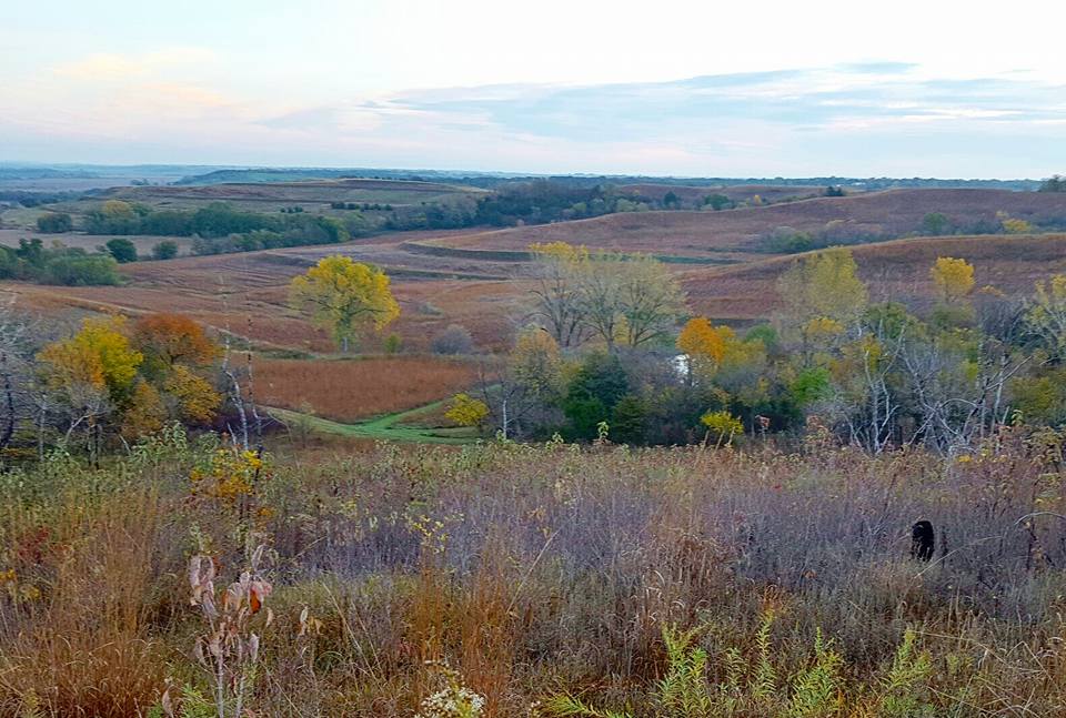
Old Town
Sawmill Hollow Wildlife Area - Known best for a popular fishing hole, Sawmill Hollow has 155 acres of wooded Loess Hills and ridgetop prairie to explore. Sawmill Hollow map.
Schaben Park - Located near Dunlap in northeastern Harrison County, hiking trails surround a small pond through oak woodlands. Schaben Park trail map. Willow Lake Recreation Area - 220-acre park near Woodbine, including popular lake and campgrounds. Hiking trails wind through Loess Hills prairies and around the lake. Willow Lake map. 
Willow Lake
Wilson Island Recreation Area - Adjacent to Desoto refuge, this 544-acre state-managed area has trails winding through floodplain woodlands near the Missouri River.
Shelby County
Dinesen Prairie State Preserve - This is one of the few prairie remnants (never plowed) in the Nishnabotna watershed. As a state preserve, it is permanently protected from any kind of development. 
Dinesen Prairie
Elk Horn Creek Recreation Area - Beautiful wildlife area in southeastern Shelby County, with camping, hiking and more.
Manteno Park - Set in the hills of Grove Township is the Shelby County Conservation Board's most popular area with a fishing lake, campgrounds, hiking, and more. 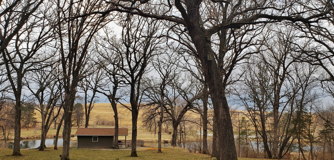
Manteno Park
Nishna Bend Recreation Area - This park features 2 camping cabins, 18 campsites with modern shower building, 5 sandpit fishing ponds, river fishing, trails, and public hunting.
Nishna Bend
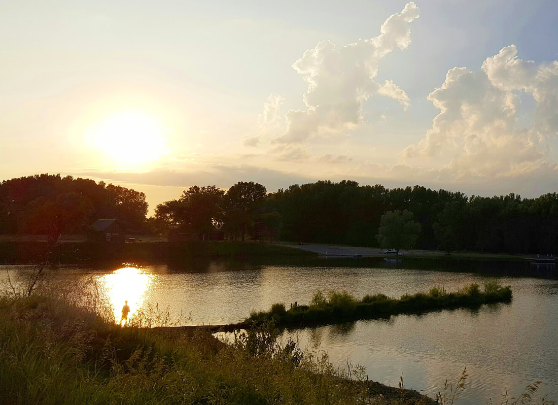
Oak Ridge Habitat Area - 94 acres of timber and prairie. This is a public hunting area that is managed for wildlife habitat. Petersen Wildlife Management Area - More than 450 acres of upland habitat in northern Shelby County. Prairie Rose State Park - Popular fishing and paddling lake with several miles of hiking trails through prairies, woods, and wetlands.  Prairie Rose State Park Prairie Rose State Park
Rock Island Old Stone Arch Nature Trail - This paved trail located primarily in Shelby County extends just into Pottawattamie County with a trailhead near the Shelby exit on Interstate 80. The trail runs west through woods, prairies, wetlands, and creeks and crosses Silver Creek on an historic Stone Arch Bridge.
Stone Arch Nature Trail, Shelby
Rosenow Timber - 116 acres of timber in northwest Shelby County.
Schimerowski Park is a 12 acre park on the edge of Earling with a walking path, picnic shelter, restroom, playground, and wetland. Six Bee Tree Timber - 40 acres of timber located directly across the road to the east of Manteno Park. This is a public hunting area with a mowed trail loop going through it.
Audubon County
Littlefield Recreation Area - Audubon County's premier park includes a popular lake, campgrounds, hiking trails, and more. 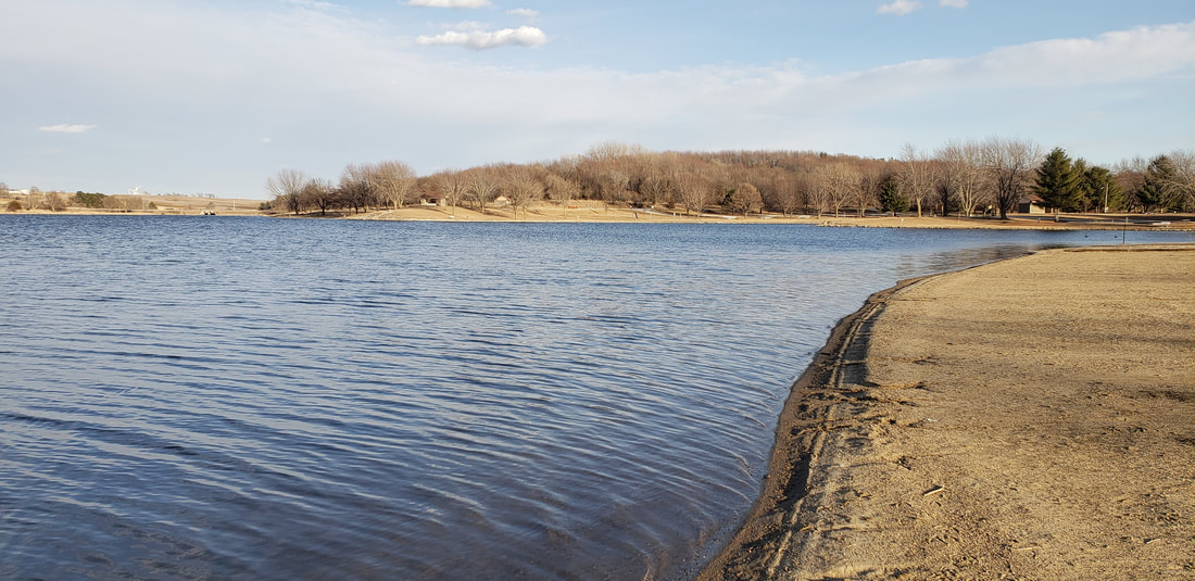
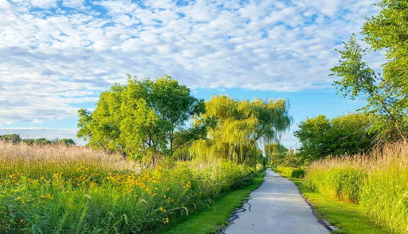
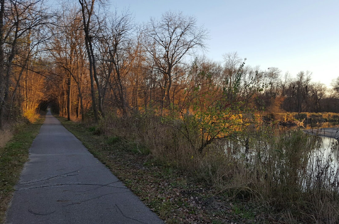
T-Bone Recreational Trail - 21-mile paved recreational trail on a former rail line. The trail connects the communities of Audubon, Hamlin, Exira, and Brayton.
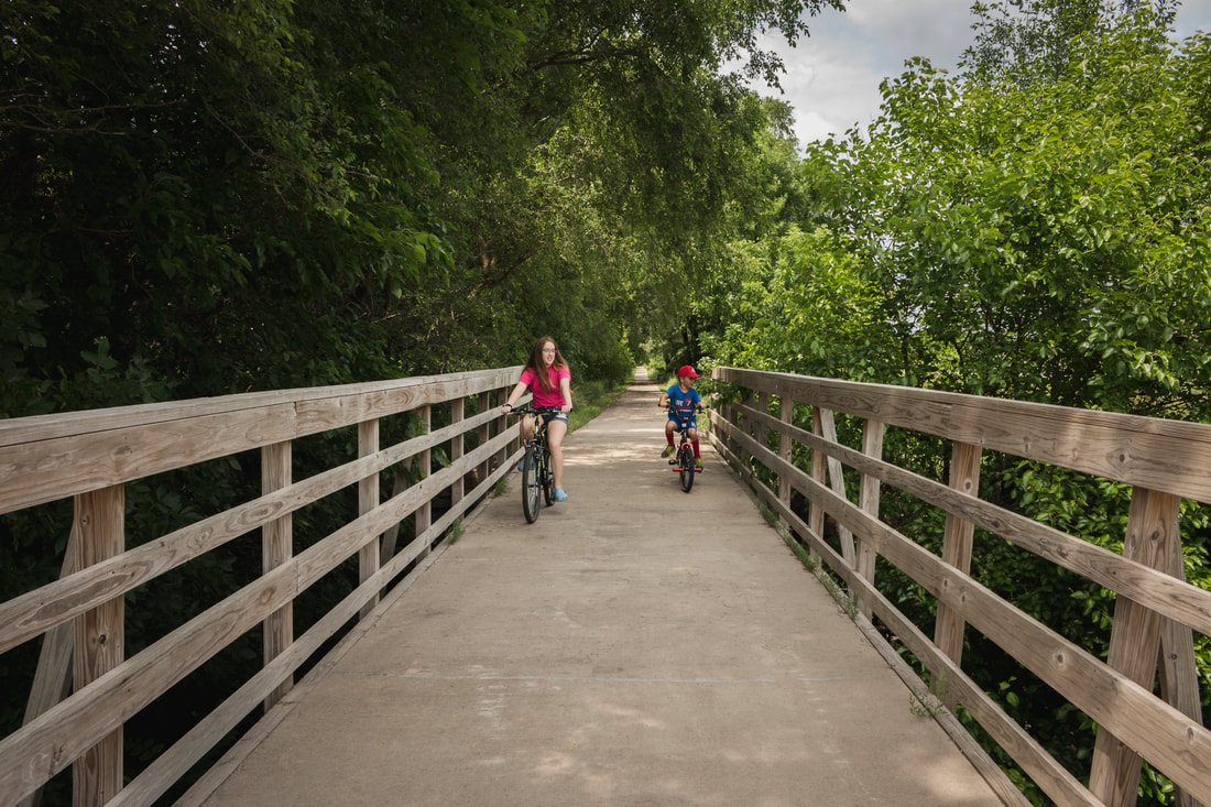
T-Bone Trail. photo by Mott Shots.
Guthrie County
Bays Branch Wildlife Area - Nearly 1,400 acres of upland and wetland habitat near Panora. Primarily a hunting area but great for wildlife- and bird-watching. Bennie Hall Wildlife Area - The 220-acre area lies adjacent to existing public land and created a 517-acre wildlife habitat complex. The area's primary use is as wildlife habitat for game and non-game species. Elk Grove Wildlife Management Area - 1,600-acre wooded wildlife area, primarily used for hunting but open to hiking and wildlife-watching. Lakin Slough Wildlife Management Area - More than 300 acres of wetland & upland habitat. Primarily used for hunting but also a great spot for wildlife viewing. Lenon Mill Park - Small park on the edge of Panora along Raccoon River including campgrounds and a river access near the Lenon Mill dam. 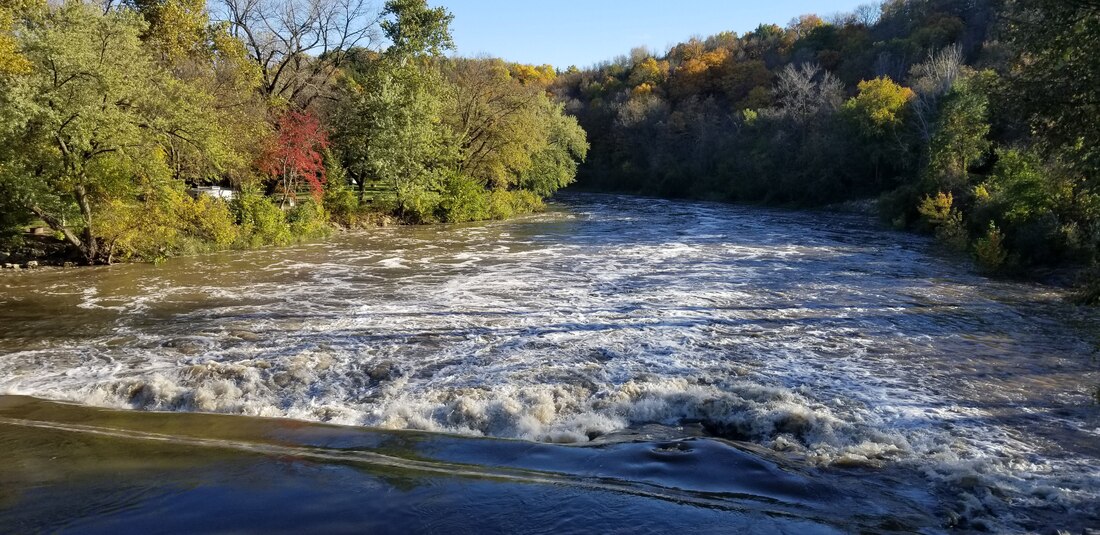
Lenon Mill dam, Panora
Marlowe Ray State Wildlife Area - 185 acres of timber habitat along the Middle Raccoon River.
McCord Pond Wildlife Management Area - Half marsh and half upland habitat, this 112-acre area is popular for hunting and wildlife viewing. Middle Raccoon River Wildlife Management Area - 1,305 acres of floodplain & upland timber and open fields. Montieth Wildlife Area - County park with 240 acres mainly used as a public hunting area.. Also includes hiking and wildlife-watching opportunities. Nations Bridge Park - 81-acre county park along the South Raccoon River with camping, hiking, river access, and more. 
Raccoon River Valley Trail - This former railroad line is a scenic, paved trail linking metro Des Moines with small communities through eastern Guthrie County.
S.E. Robinson Wildlife Area - 110-acre wildlife area located along the Middle Raccoon River.
Sheeder Prairie State Preserve - 24-acre remnant (never-plowed) prairie near Guthrie Center. Springbrook State Park - This park near Guthrie Center includes a lake, campgrounds, and 12 miles of hiking trails. Sutcliffe Woodland - 55-acre oak-hickory area designated as a wildlife refuge. It offers a 31-post, self-guided interpretive nature trail, as well as picnicking, hiking, and pond fishing. Whiterock Conservancy - 5,500 acre non-profit land trust that balances sustainable agriculture, natural resource protection and public recreation on the landscape. Located near Coon Rapids, Iowa, along seven miles of the Middle Raccoon River valley, Whiterock is open to the public every day for recreation and exploration. 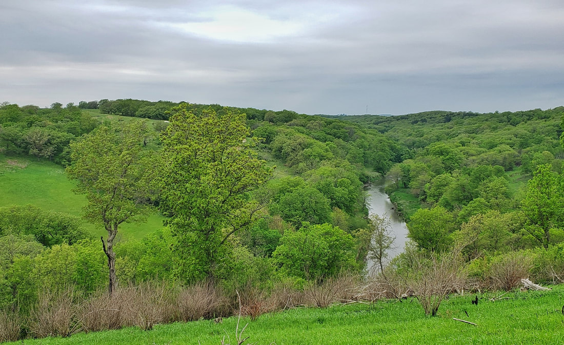
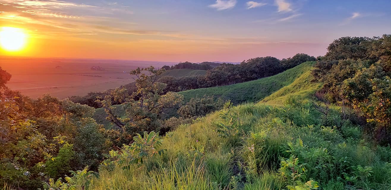
Fall colors at Whiterock
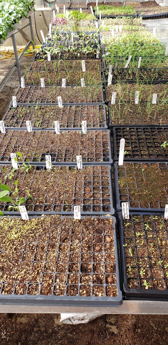
Iowa Western Community College Greenhouse Initiative receives Presidents' Engaged Campus Award4/16/2020 Iowa Western Community College in Council Bluffs has been awarded the Presidents' Engaged Campus Award for the Greenhouse Initiative, a partnership with several partners including Golden Hills. Golden Hills is excited and grateful to be part of this effort and congratulates Iowa Western and all our partners. Golden Hills is using space in the greenhouse for growing native prairie plants as part of our Prairie Seed project. Earlier this year, we had two educational workshops on campus with more than 40 people who learned about growing native plants. At the classes, we started seeds in the greenhouse and intend to have a native plant sale this spring. Learn more about the project and partners in this video. The Presidents’ Engaged Campus Awards recognize, celebrate, and tell the story of great individuals, projects, and programs in both Iowa and Minnesota. Through the presidents’ awards categories every campus has the opportunity to recognize students, faculty & staff, and partners leading the way in their campus community. We also have selective award categories to showcase innovation, collaboration, employer partnerships, and civic-minded alumni. Nominations were submitted by member campuses and partners, and scored by independent reviewers. Twelve projects were selected for 2020 awards. The greenhouse initiative won in the category of Emerging Innovation: A recent project, program or initiative making unique and innnovative contributions that demonstrate strong future potential, including student-led projects. Learn more about the Presidents' Engaged Campus Awards here and read their official press release about 2020 awards. here. Below are a few photos of the classes and the plants currently growing in the greenhouse. Learn more about this project at goldenhillsrcd.org/prairieseed 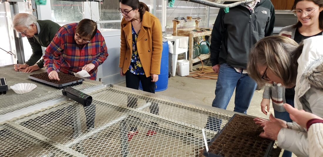 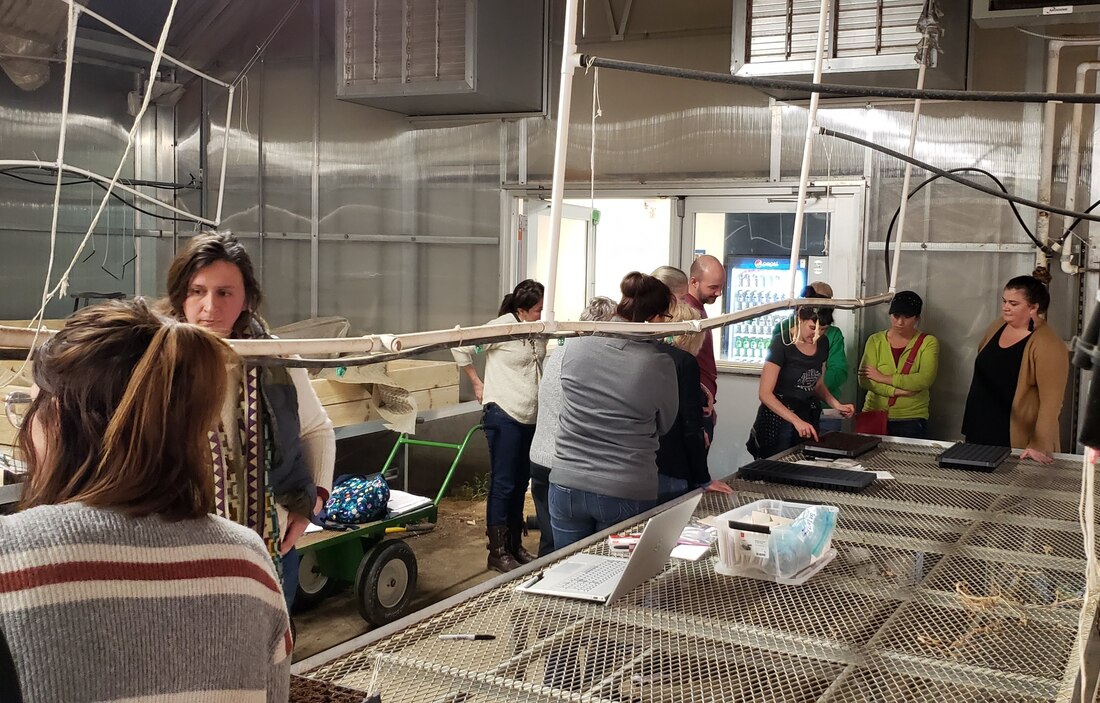  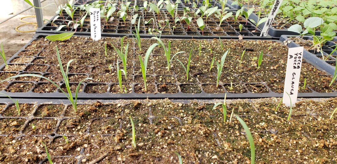
Hiking and walking are excellent ways to get outdoors and distance yourself from others. The Loess Hills Missouri River Region has many miles of beautiful public hiking and walking trails. Per CDC recommendations, avoid recreating in groups and leave more space than you think you need between yourself and others. The WanderLoess Backcountry Hikes page includes some of the more rugged and longer hikes in Harrison, Mills, and Pottawattamie counties. Golden Hills RC&D has also developed an online Loess Hills Hiking Guide with a map of places to hike throughout the seven-county Loess Hills region. This list expands on that and includes hiking trails and walking paths for all ages and abilities in the Loess Hills Missouri River region. Is your favorite hiking or walking trail missing? Let us know! Learn about other parks, trails, and much more in the region at WanderLoess.com. Other hiking resources to check out:
Arrowhead Park - Hiking trails wind through wooded hillsides around a beautiful pond popular for fishing and paddling. Arrowhead Park trails map. Botna Bend Park - Best known for live elk and bison, Botna Bend includes nature trails through prairies and woods along the West Nishnabotna River in Hancock. Botna Bend map.  Botna Bend Park Council Bluffs trails - More than 40 miles of mostly-flat, paved trails connect the Missouri riverfront with Big Lake Park, Lake Manawa State Park, and much more. Council Bluffs trail map. Desoto National Wildlife Refuge - This refuge includes hiking trails through a large wildlife refuge along the Missouri River. It’s a great place to see wildlife, especially waterfowl and other birds. Desoto refuge brochure & map. Edgington Memorial Park, Avoca - Over a mile of paved, flat trails loop through this city park, along and across the East Branch of the West Nishnabotna River. Trails also connect into nearby neighborhoods. Map of Avoca trails.  Edgington Park Fairmount Park - Fairmount is a hidden gem in the middle of the metro. This city park has a few miles of rugged hiking trails through wooded Loess Hills with scattered prairies and restored oak savanna overlooking Council Bluffs and the Omaha skyline. Map to Fairmount Park. Folsom Point Preserve - Owned and managed by The Nature Conservancy, this nearly-300 acre area features beautiful remnant prairies overlooking the Missouri River valley just minutes from Council Bluffs and Omaha. Hiking paths lead from the parking area to the ridgetop. Map to Folsom Point.  Folsom Point Preserve Glenwood Archaeological State Preserve - Located just outside Glenwood, the 900-acre preserve includes paved trails through woods and prairies. Formerly known as Foothills Park, the site is known to have numerous archaeological sites from the prehistoric Glenwood culture. Map to the Glenwood preserve. Harrison County Welcome Center - In addition to an Iowa Welcome Center and historical village complex, this welcome center just outside Missouri Valley. Welcome Center map. 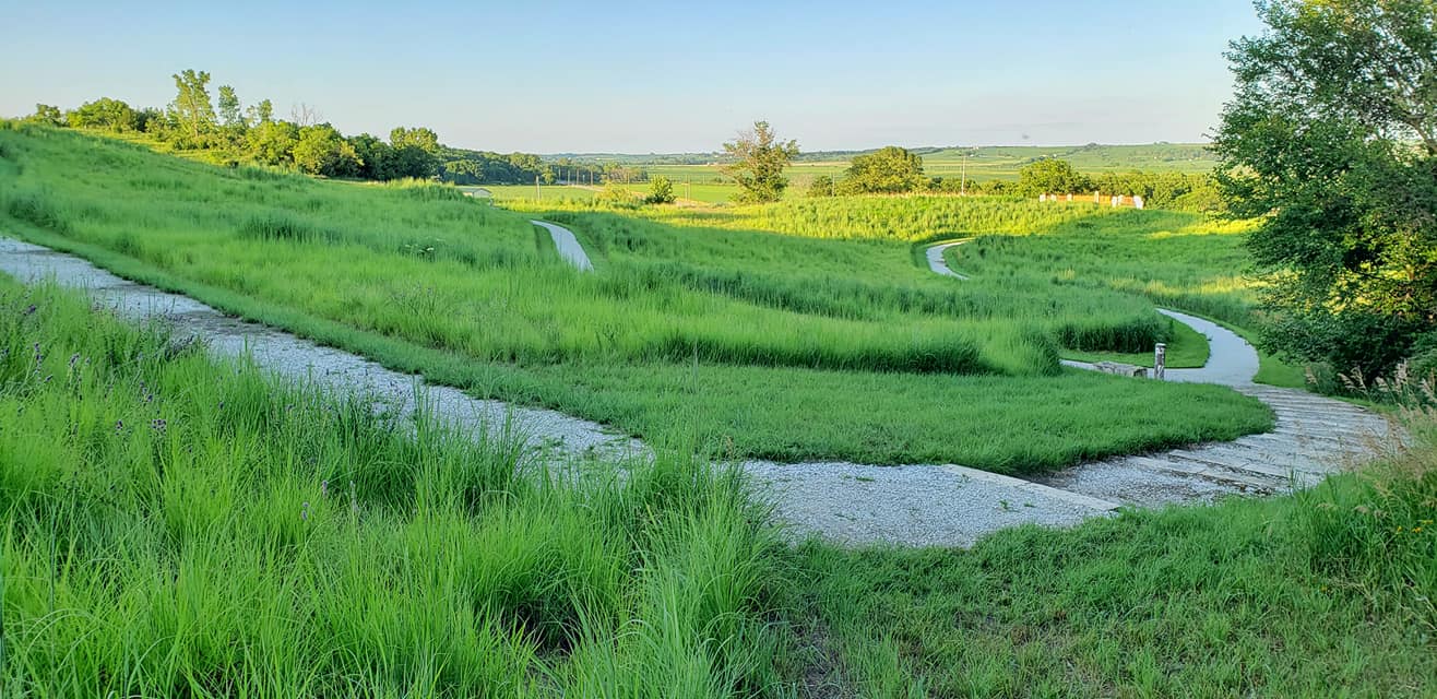 Harrison County Welcome Center Hitchcock Nature Center is Pottawattamie County’s premier hiking destination located near Honey Creek. It has 10 miles of trails through Loess Hills prairies, woodlands and savanna. Hitchcock trail map. Lewis & Clark Monument Park - With five miles of trails over 80 acres, this Council Bluffs city park features commanding views of the Missouri River, Council Bluffs, and downtown Omaha. The trails are also popular for mountain biking. Lewis & Clark park trail map. Loess Hills State Forest (LHSF) & Preparation Canyon State Park - The state forest and park encompass nearly 12,000 acres over four units in Harrison and Monona counties, with dozens of miles of hiking-only trails.
 Mondamin Unit of Loess Hills State Forest Mile Hill Lake - This park is located along Highway 34 near Glenwood and includes hiking paths through woods, prairies, and a marsh. The lake is popular for fishing and paddling. Map to Mile Hill Lake. Milliman Park - Logan city park with a short hiking trail. Milliman Park trail map. Oakland City Parks - Oakland has three city parks with popular walking trails. Chautauqua Park includes flat, paved trails near the West Nishnabotna River. Map to Chautauqua Park. Old Town Conservation Area - This area has about 10 miles of hiking trails through prairies and woodlands overlooking the Boyer and Missouri river valleys as well as the community of Missouri Valley. Old Town trail map.  Old Town Pleasant View Park - Dunlap city park with short, ADA-accessible walking trail around a smal pond. Pleasant View Park trail map. Pony Creek Nature Center - Pony Creek features a popular lake, nature center, campgrounds, and rugged Loess Hills hiking trails through woods and prairies. Map to Pony Creek. Ray Thomas Wildlife Preserve - Mills County Conservation Board’s Ray Thomas Preserve in has a mowed walking path through woodlands and restored prairies in eastern Mills County. Map to Ray Thomas preserve. Rock Island Old Stone Arch Nature Trail - This paved trail located primarily in Shelby County extends just into Pottawattamie County with a trailhead near the Shelby exit on Interstate 80. The trail runs west through woods, prairies, wetlands, and creeks and crosses Silver Creek on an historic Stone Arch Bridge. Map to trailhead. Sawmill Hollow Wildlife Area - Known best for a popular fishing hole, Sawmill Hollow has 155 acres of wooded Loess Hills and ridgetop prairie to explore. Sawmill Hollow map.  Sawmill Hollow Schaben Park - Located near Dunlap in northeastern Harrison County, hiking trails surround a small pond through oak woodlands. Schaben Park trail map. Smith Wildlife Area - This little-known wildlife area includes 175 wooded acres located immediately outside of Council Bluffs and is open to hiking throughout. Map to Smith Wildlife Area. Vincent Bluff State Preserve - A 42-acre remnant prairie in the middle of Council Bluffs with panoramic views of the city. A short footpath leads from the parking lot to the ridgetop. Map to Vincent Bluff. 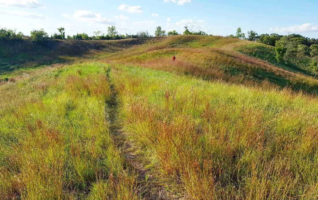 Vincent Bluff Wabash Trace Nature Trail - This crushed limestone trail follows a former railroad line from Council Bluffs to Mineola, Silver City, Malvern, and beyond. It’s also popular with bicyclists. Trailheads are located in each community. Wabash Trace trail map. West Oak Forest - Hike up steep Loess Hills bluffs overlooking the Missouri River valley between Glenwood and Council Bluffs. More than three miles of trails through woodlands and remnant prairies. Map to West Oak Forest. 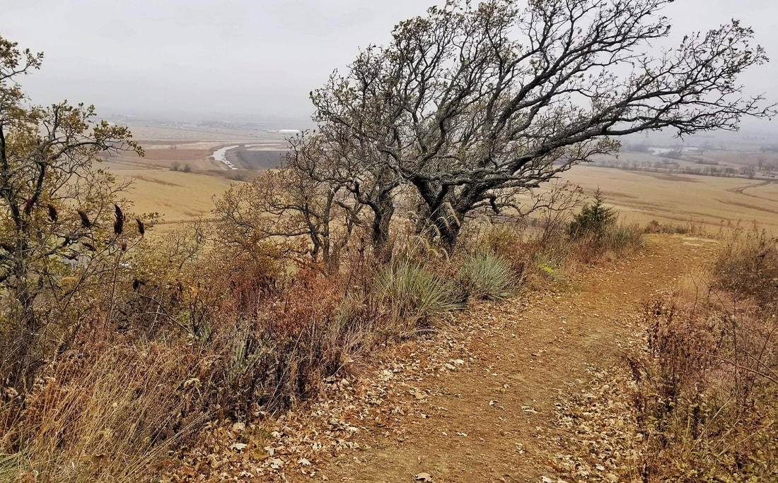 West Oak Forest Wheeler Grove Conservation Area - This 247-acre wildlife area in eastern Pottawattamie County has prairies, oak savanna, and woodlands to explore along Jordan Creek. Map to Wheeler Grove.
Willow Lake Recreation Area - 220-acre park near Woodbine, including popular lake and campgrounds. Hiking trails wind through Loess Hills prairies and around the lake. Willow Lake map. Wilson Island Recreation Area - Adjacent to Desoto refuge, this 544-acre state-managed area has trails winding through floodplain woodlands near the Missouri River. Wilson Island trail map. In addition to all these great places, take a hike through your yard, farm, or neighborhood. Stop and listen to birds and other wildlife. Look for wildflowers, mosses, and lichens. You’ll be amazed at how much there is to see and do right here in our region! Outdoor recreation, specifically bicycling, is a great way to stay healthy. Riding solo is the best way to reduce the spread of COVID-19. If you encounter others on the trail, maintain as much distance as possible; even much more than 6-feet. Note that many public restrooms and drinking fountains are closed to the public, as are campgrounds and many businesses. Come prepared with everything you might need on a ride (bring extra water and snacks!) and hit the restroom before you leave. Take hand sanitizer, avoid touching surfaces, and don't touch your face. If you have symptoms, stay home. Wash your hands, shower as soon, and change clothes as you get home. With this in mind, realize that our region has great trails and many low-traffic roads and streets. Check out the resources below to find a place to ride!
Always wear a helmet and obey traffic laws. Brightly-colored and high-visibility clothing are recommended, especially at dusk or after dark. Lights are required between sunset and sunrise. Check out Golden Hills' bicycling resources page for more information on safe bicycling habits and practices. Stay safe and healthy, and have fun out there! 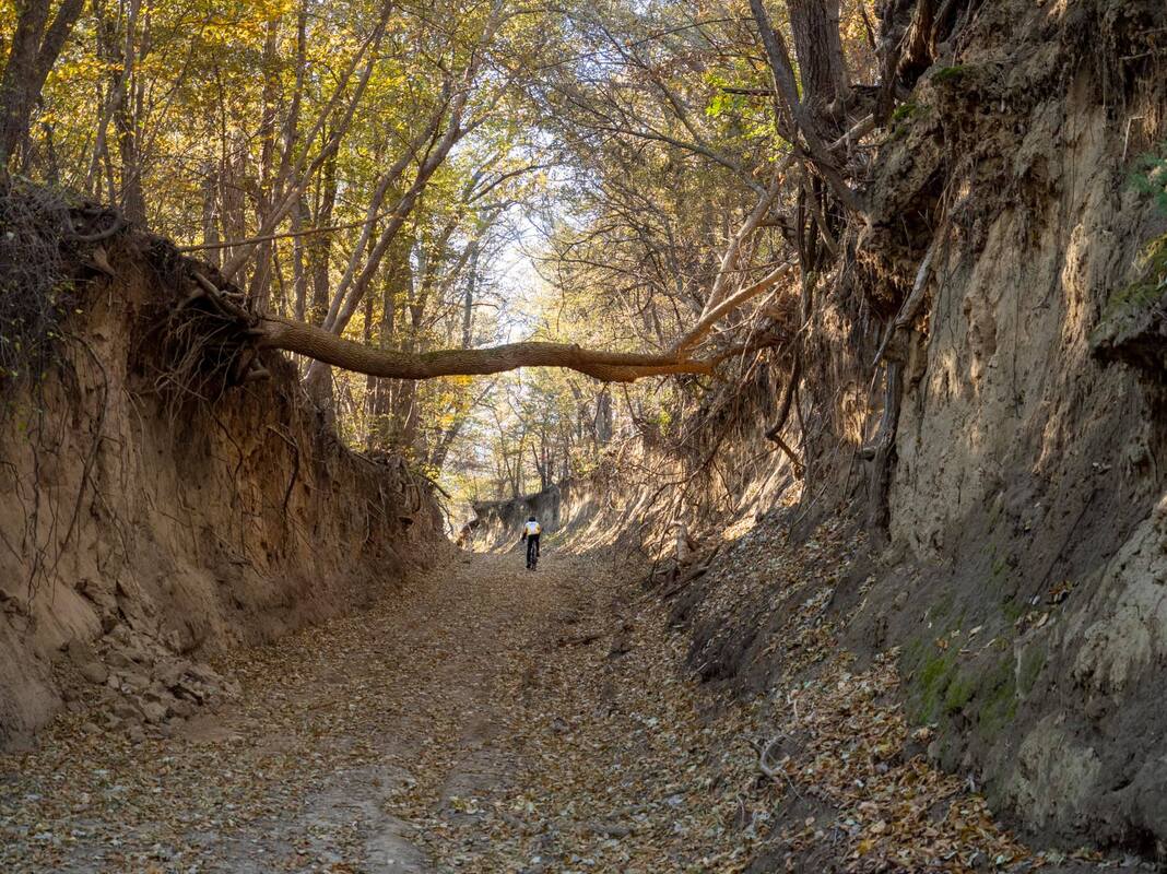 Biking a dirt road in the Loess Hills. Photo by Pat Schoening. 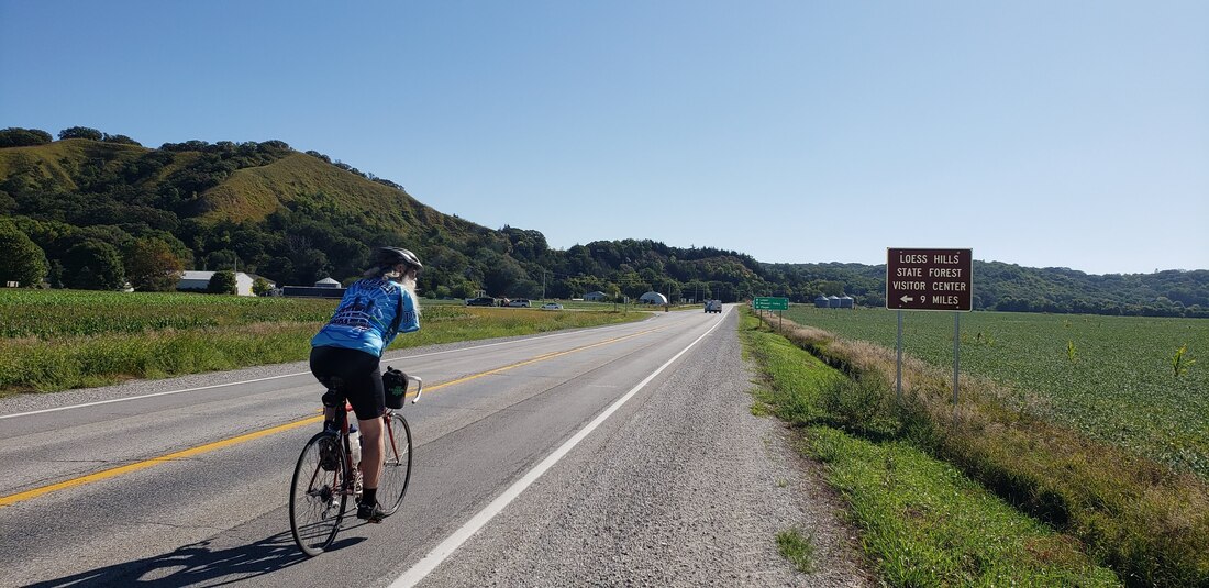 On-road biking is popular but requires extra caution with high-speed traffic.  Wabash Trace Nature Trail - photo by Pat Schoening 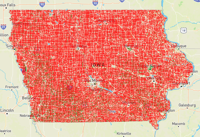 The red lines are gravel roads and green lines are earthen/minimum maintenance roads. Map from https://iowagravelroads.com/ |
Archives
June 2024
Categories
All
|
 RSS Feed