|
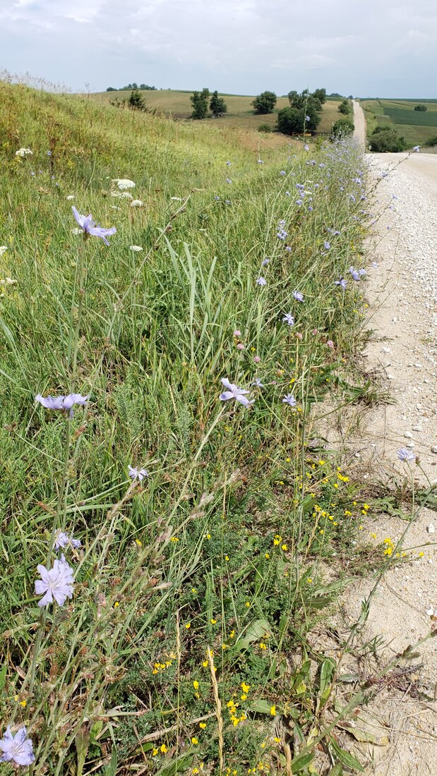
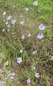
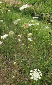
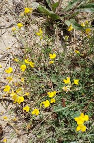
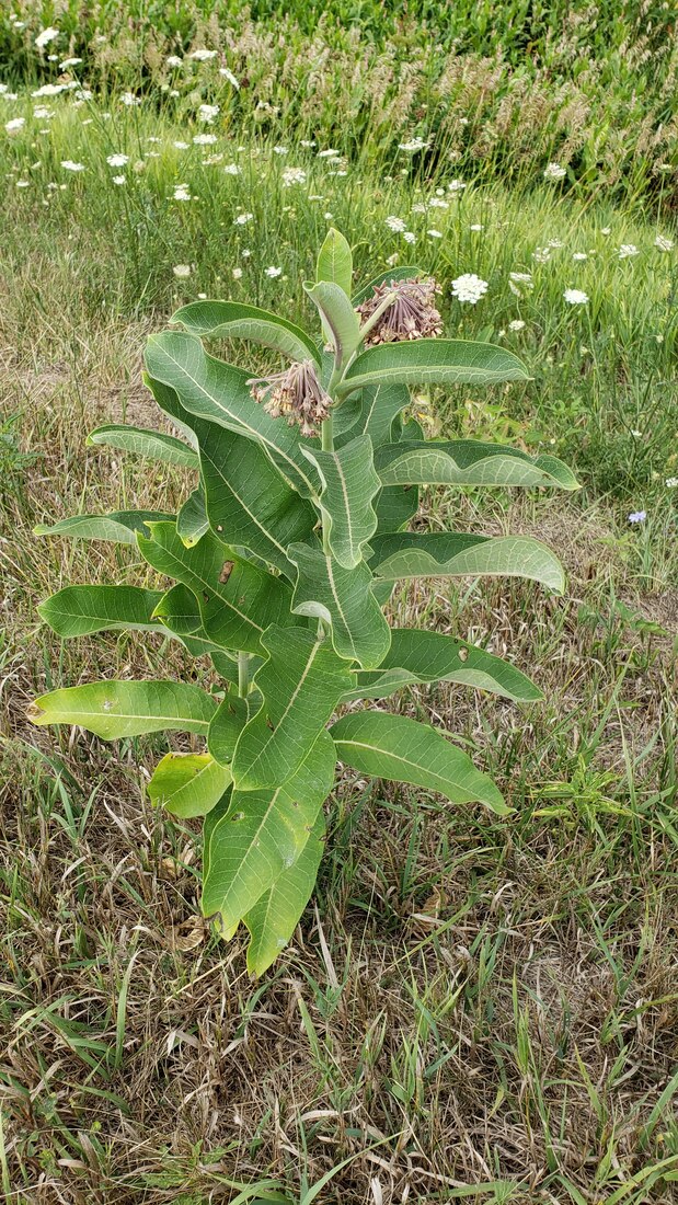
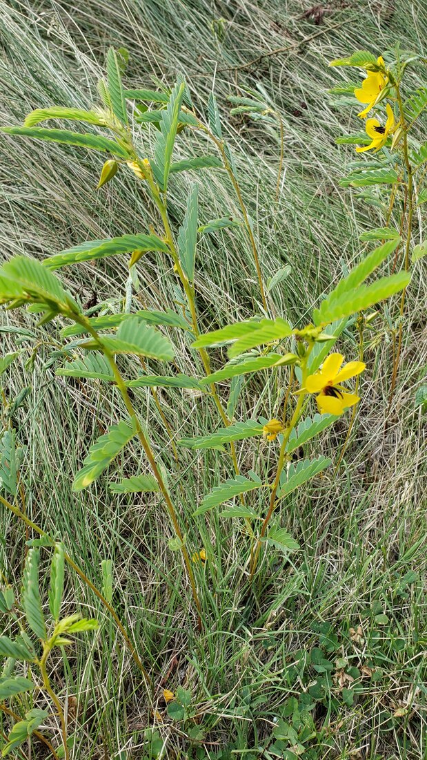
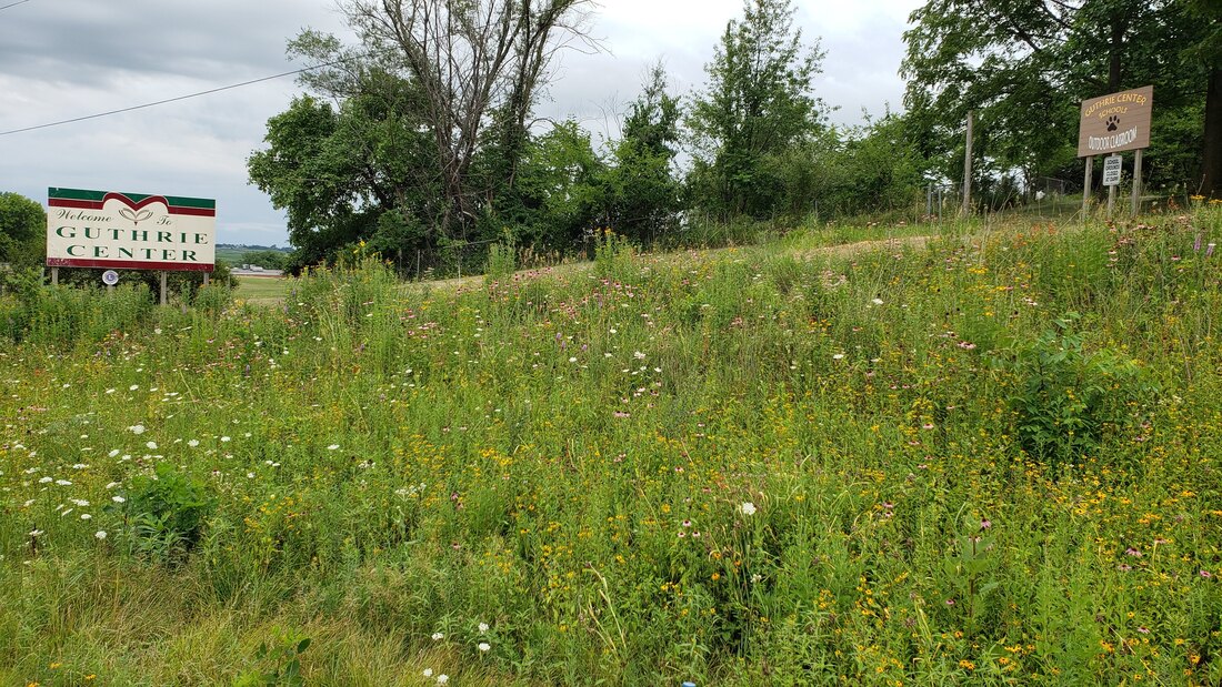
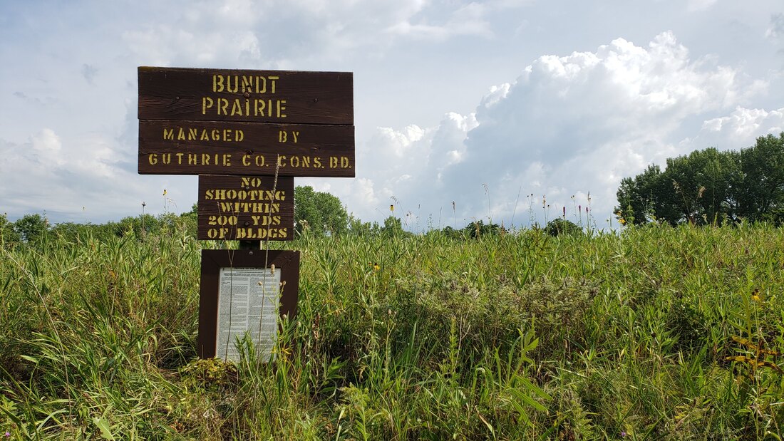
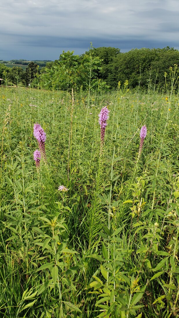
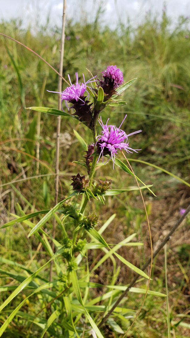
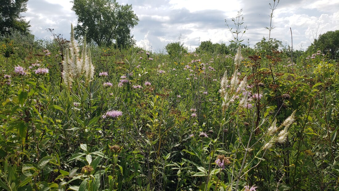
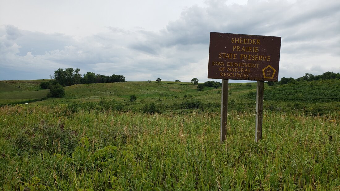
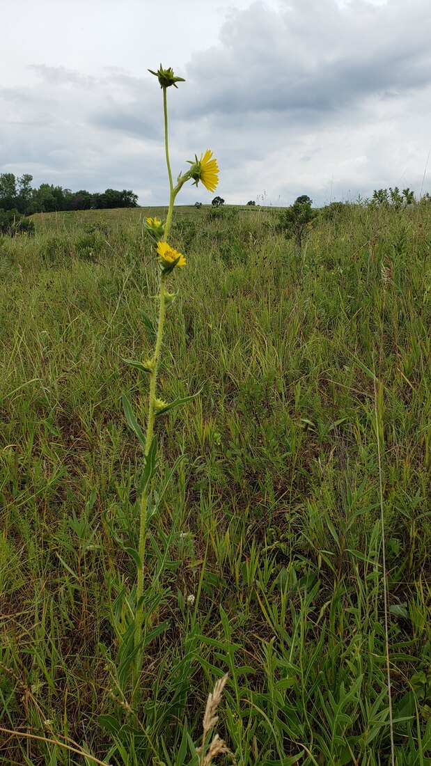
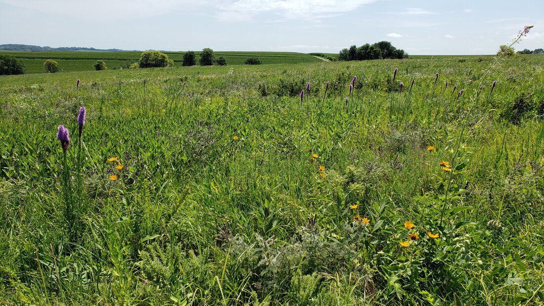
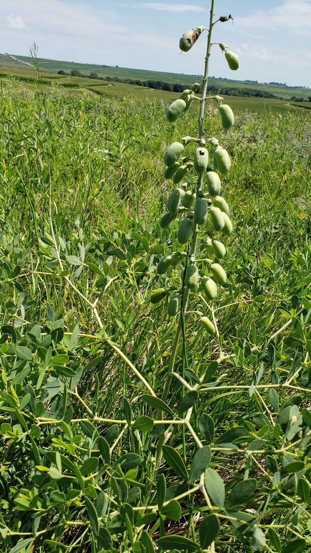
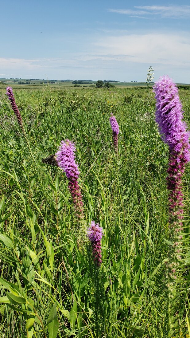
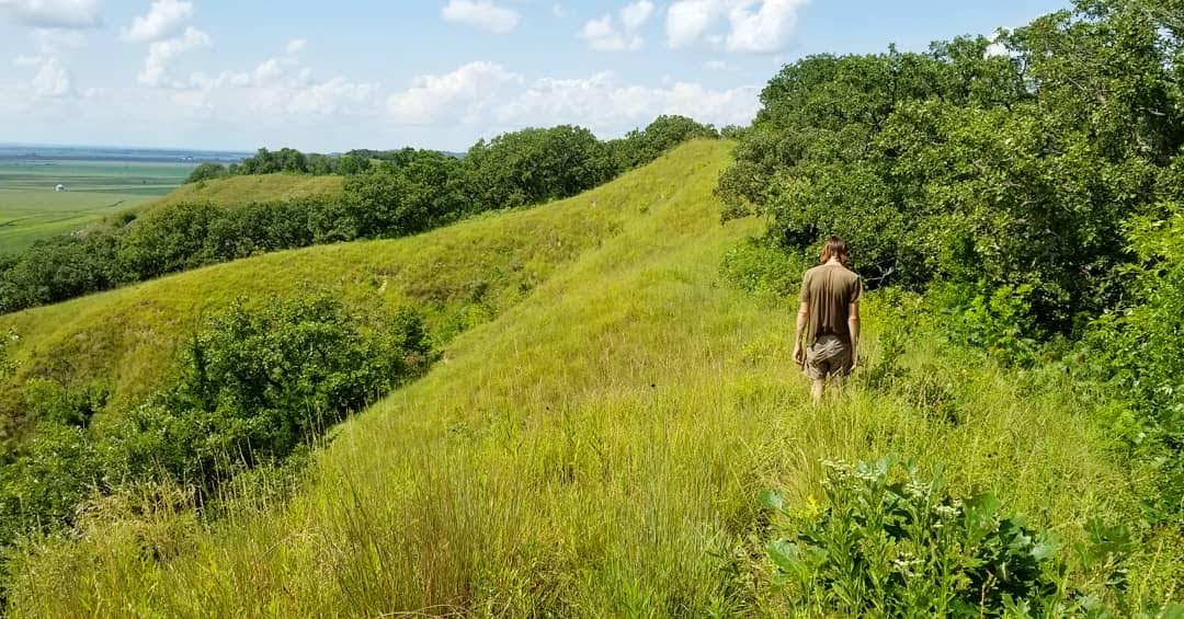
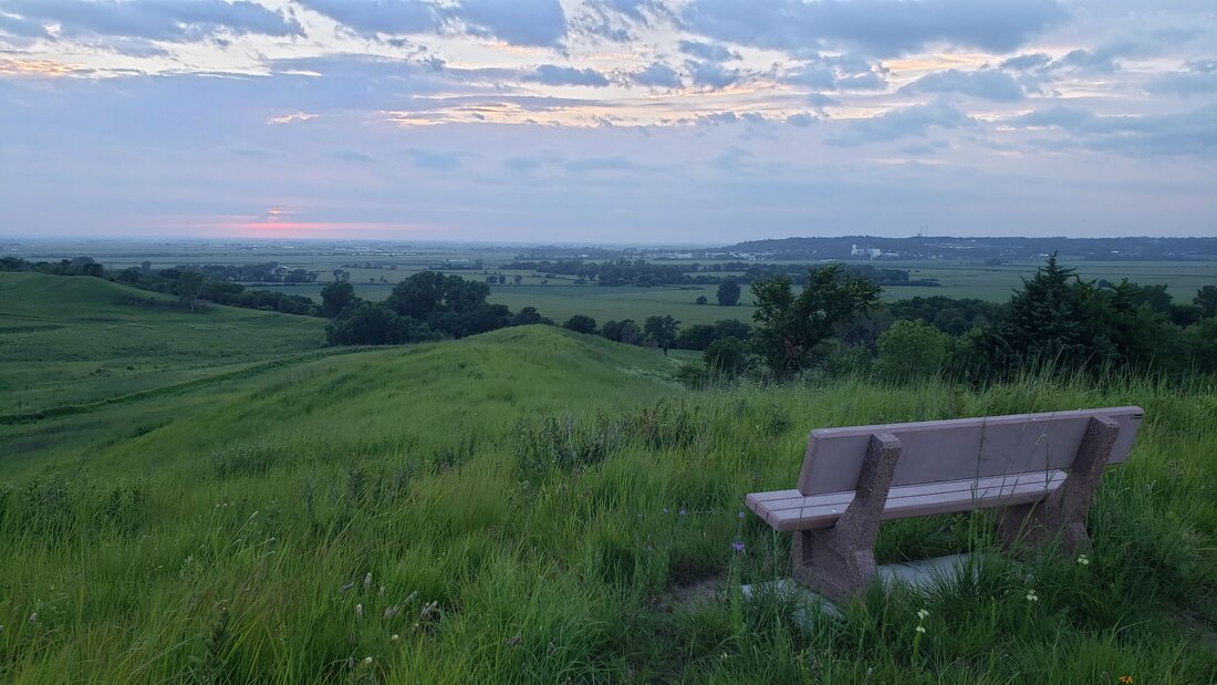
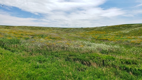
Late summer is an excellent time to take a drive and look at wildflowers. Western Skies Scenic Byway is a great place to do that. The Byway corridor has several remnant prairies from the Loess Hills in the west to the Raccoon River valley in the east. Additionally, several non-native flowers are currently blooming along many of the roadsides. A few of the most common ones you will likely see are chicory (chichorium intybus), Queen Anne's Lace (daucus carota), and birdsfoot trefoil (lotus corniculatus) all pictured below. A few native prairie species do well along roadsides, such as common milkweed and partridge pea. Some sections of roads have much more diverse roadside plantings, often part of a county's Roadside Vegetation Management program. These photos are along Highway 25 on the north side of Guthrie Center, next to an outdoor classroom. While county and state road right-of-ways are public, use caution if you decide to explore a roadside prairie. Pull off out of the way of traffic, turn on hazard lights, and wear brightly colored clothing or a safety vest. Wear long pants and closed shoes to avoid things like poison ivy and wild parsnip. Bug spray is also recommended and check for ticks after visiting a prairie! Check out the Iowa DOT Plant Profiler for identifying more common roadside plants. For a humorous take, read the Prairie Ecologist's A Field Guide to Roadside Wildflowers at Full Speed. In addition to roadsides, the Byway has several remnant prairies with much more species diversity. One of the smallest is Bundt Prairie in Guthrie County. In late July and early August, blazing stars are blooming. Prairie blazing star (liatris pycnostachya) is generally taller with single purple spikes and scaly blazing star (liatris squarrosa) is shorter with multiple flowers per stem. Culver's root (veronicastrum virginicum) has white flowers. Wild bergamot/bee balm (monarda fistulosa) has pink blooms. Gray-headed coneflower (ratibida pinnata) has yellow petals with dark centers. Sheeder Prairie State Preserve is another remnant prairie in Guthrie County. In addition to the flowers at Bundt Prairie, compass plant (silphium laciniatum) is one of the tallest flowers on the prairie. Dinesen Prairie State Preserve in Shelby County, like Sheeder Prairie, was never plowed and is permanently protected by the state. Prairie blazing star is abundant here. Another interesting plant is white wild indigo (baptisia alba), whose white flowers are nearing their blooming period but the stalks now have pods that resemble beans. The Loess Hills State Forest, Willow Lake Recreation Area, and Old Town Conservation Area have Loess Hills remnant prairies in Harrison County. Some prairies are located on private land and should not be accessed without the landowner's permission. Many of these prairies are farms enrolled in the conservation reserve program (CRP). Although you should not attempt to explore them without permission, many can be seen and admired from the roadway. What have you seen blooming lately? What's your favorite prairie to visit?
0 Comments
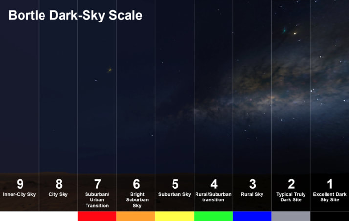
Light pollution, also called skyglow, results from artificial lighting from streetlights, homes, businesses, and more. Light pollution has many negative impacts that people tend to not notice. It can affect people's sleep, contributing to many health problems. It also impacts plant life cycles, bird migration, and contributes to global declines in insect populations. Almost 80% of Americans cannot see the Milky Way from their home and about 99% have some level of skyglow. Light pollution is measured on the Bortle Scale, with 1 being an excellent dark sky without any skyglow and 9 being so bright that most or not all stars are not visible. The International Dark Sky Association, an organization dedicated to preserving the night sky, has great information and resources on their website about light pollution and the importance of darkness.
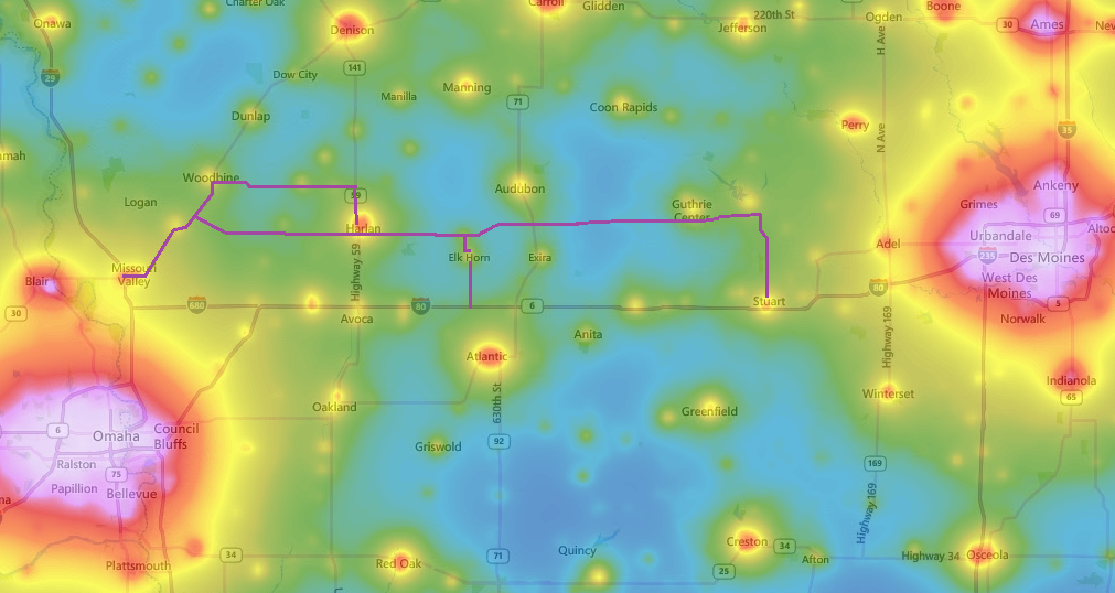
Although it's difficult to completely avoid all light pollution, Western Skies Scenic Byway includes several great stargazing sites. The map below shows light pollution along the Byway. The purple line is the Byway route. The white, red, and orange are the worst light pollution, which are generally in the center of the largest cities. Omaha-Council Bluffs and Des Moines-West Des Moines metros to the east and west ends of Western Skies are generally about 5-9 on the Bortle Scale. Many rural communities and highway corridors are green, and roughly 4 on the Bortle scale. Only the areas farthest from any towns are a 3 or possibly in some cases 2, indicating the best skies for stargazing. Still, the areas ranking 2-3 are much better for stargazing than the metro areas and even the center of small towns. As you can see on the map, the darkest area on Western Skies is in western Guthrie and eastern Audubon counties. This area includes Whiterock Conservancy, which features a star field campground and hosts an annual Iowa Star Party (the 2020 Star Party is cancelled due to COVID-19). Littlefield Recreation Area is also located here. Manteno Park and Prairie Rose State Park in Shelby County and Loess Hills State Forest in Harrison County are also some among the darkest areas on the Byway corridor. Once you find a dark sky, you can use several different apps to help identify constellations and stars. A few helpful links for stargazing:
Click the map below for an interactive map of light pollution around the world. |
Archives
June 2024
Categories
All
|
Address712 South Highway Street
P.O. Box 189 Oakland, IA 51560 |
ContactPhone: 712-482-3029
General inquiries: [email protected] Visit our Staff Page for email addresses and office hours. |
 RSS Feed