|
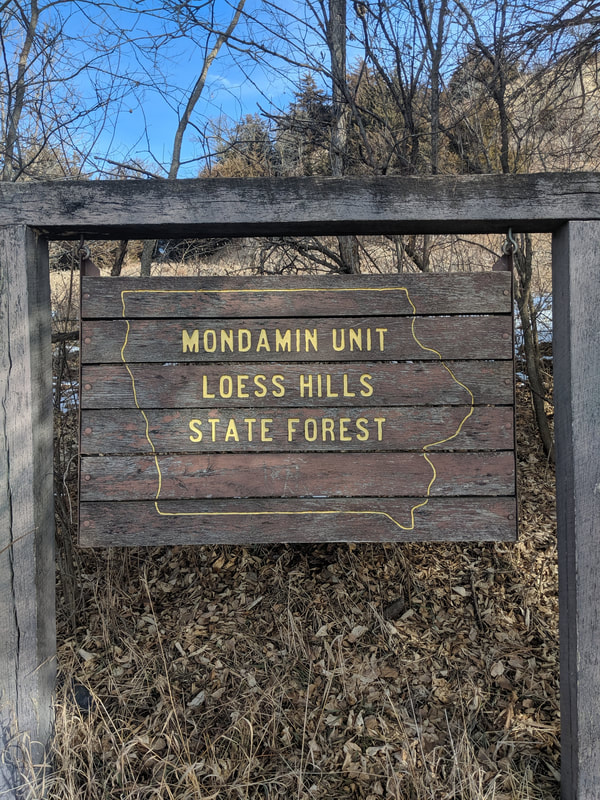
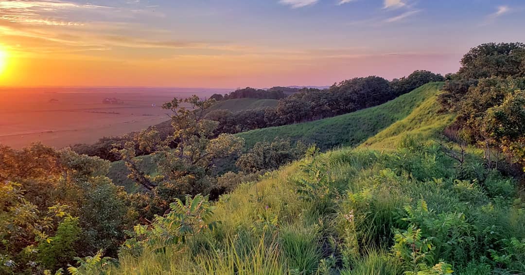
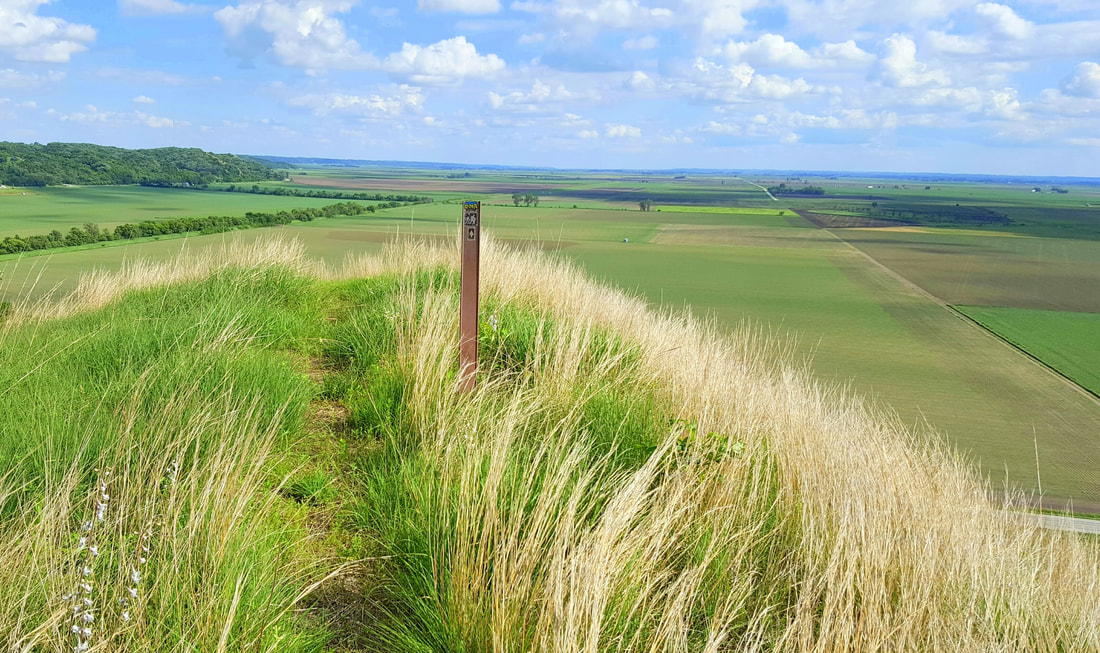
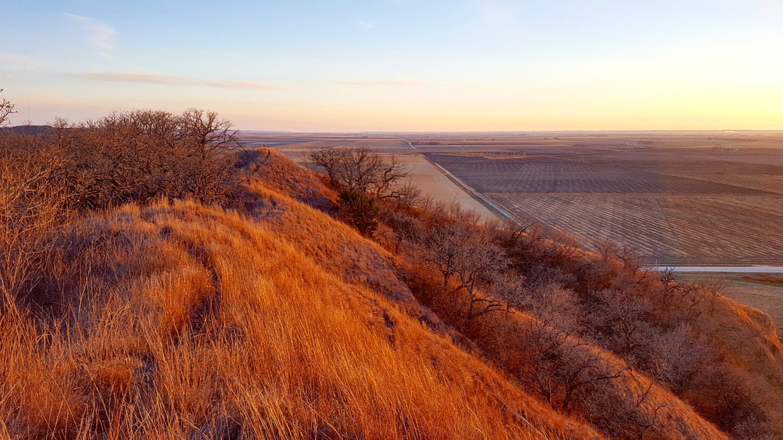
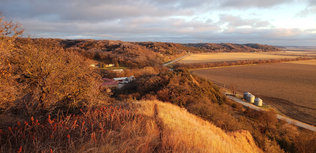
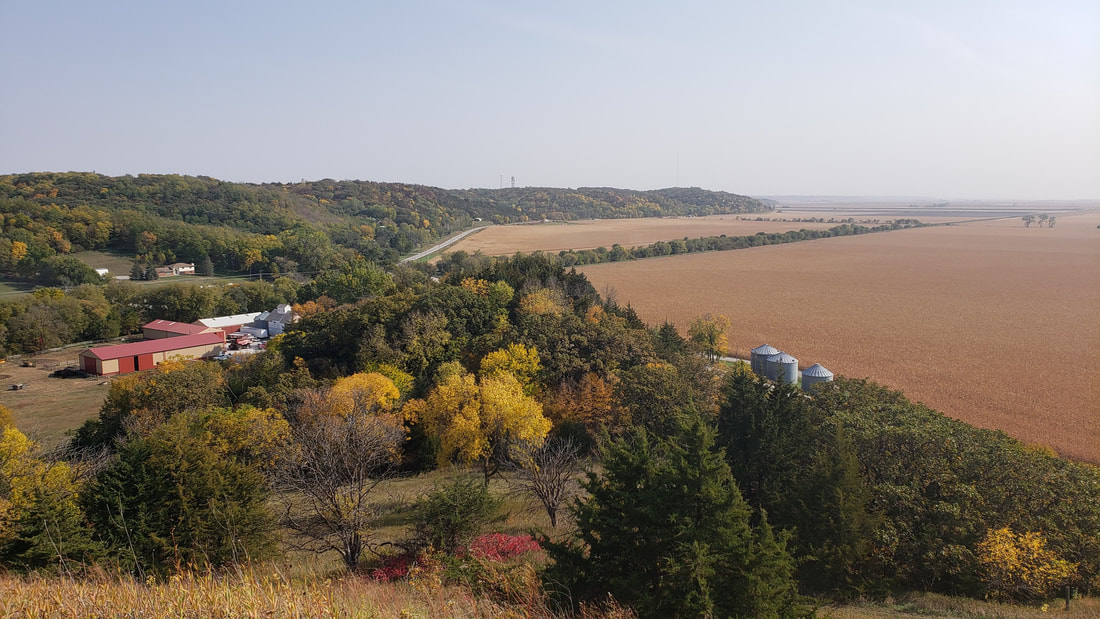
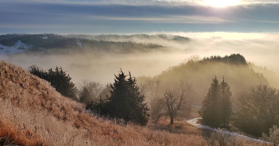
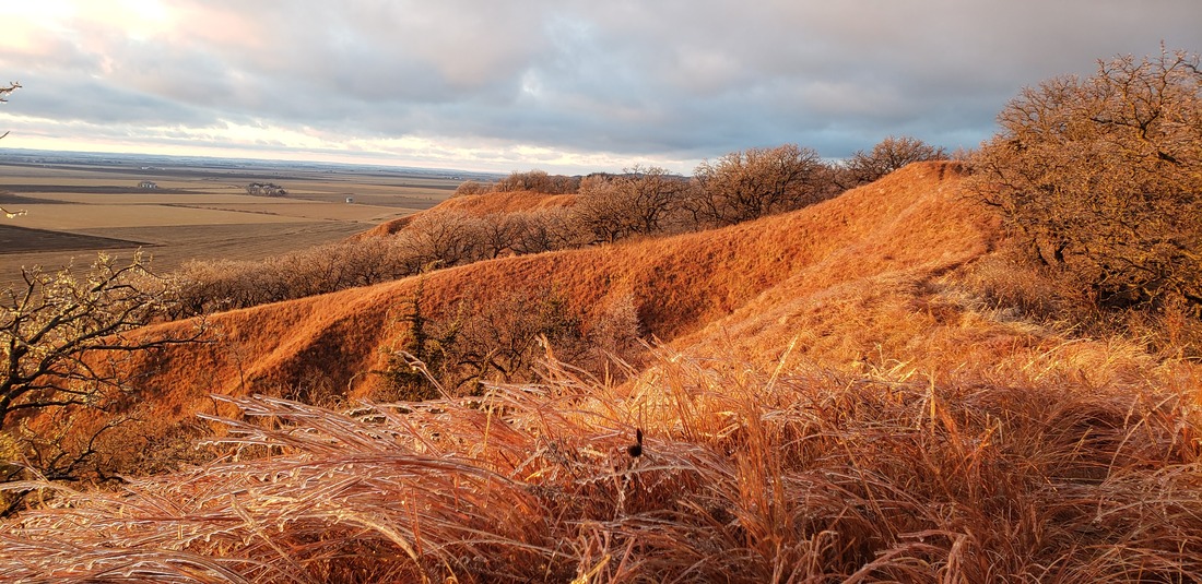
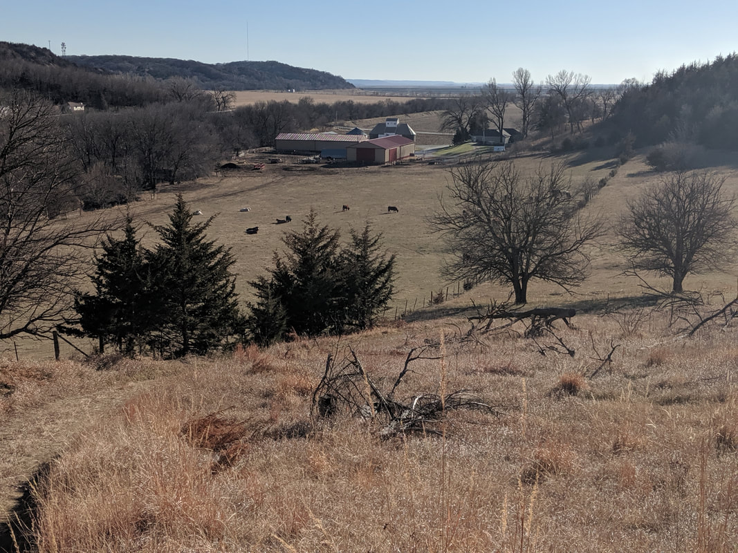
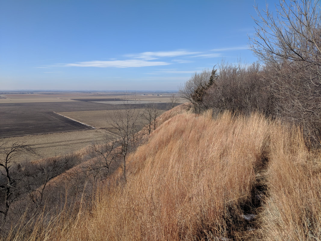
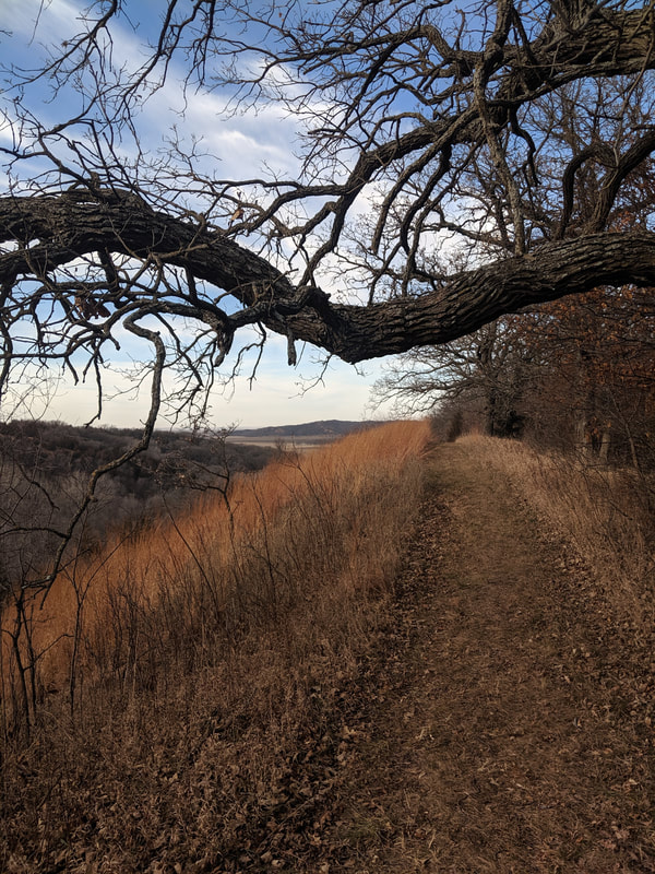
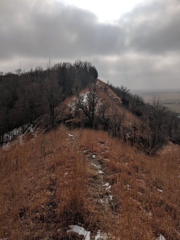
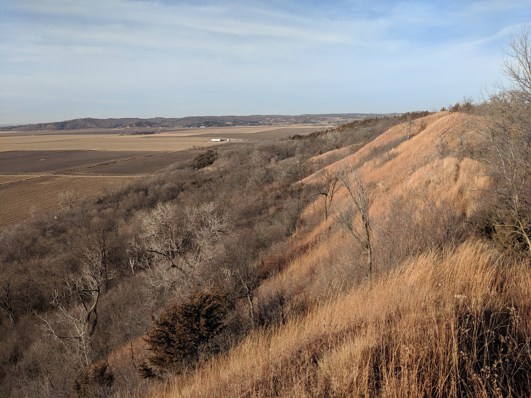
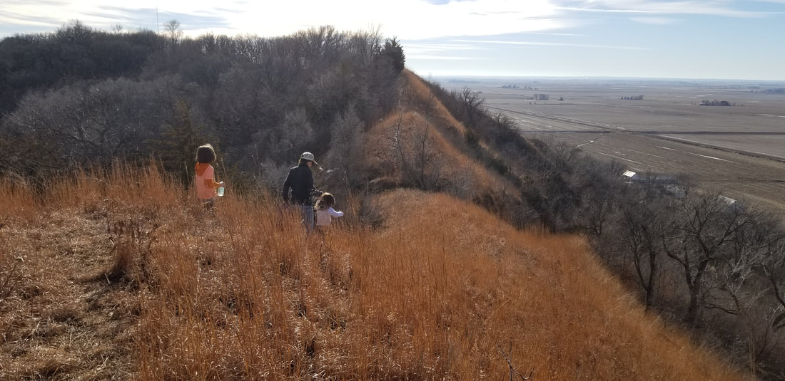
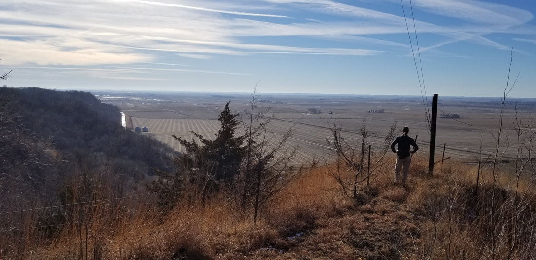
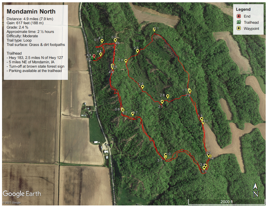
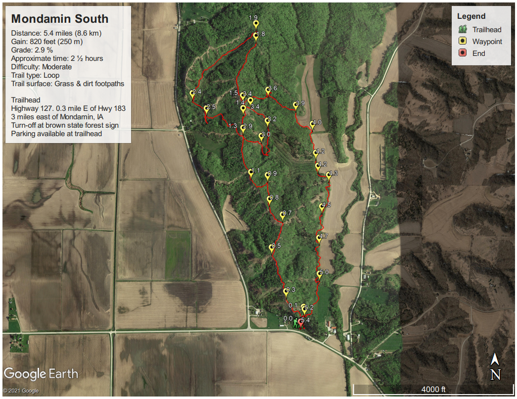
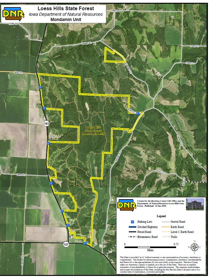
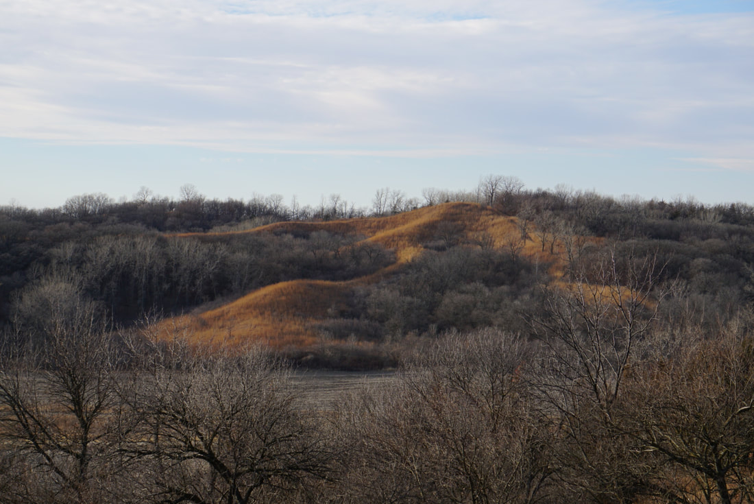
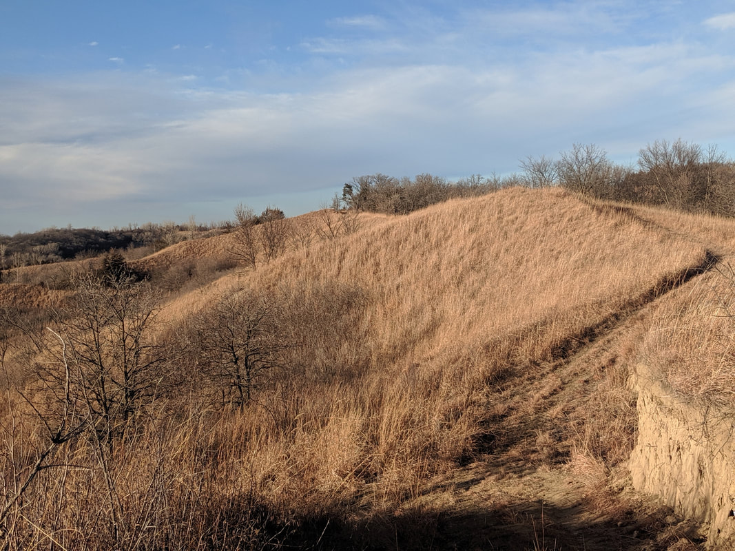
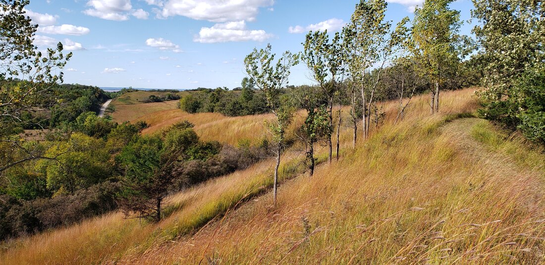
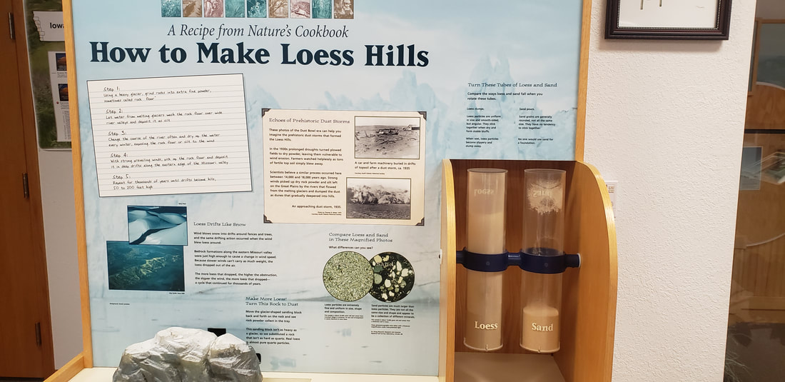
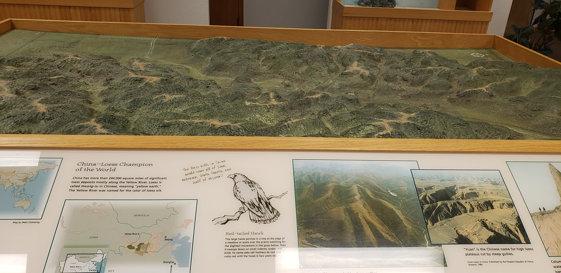
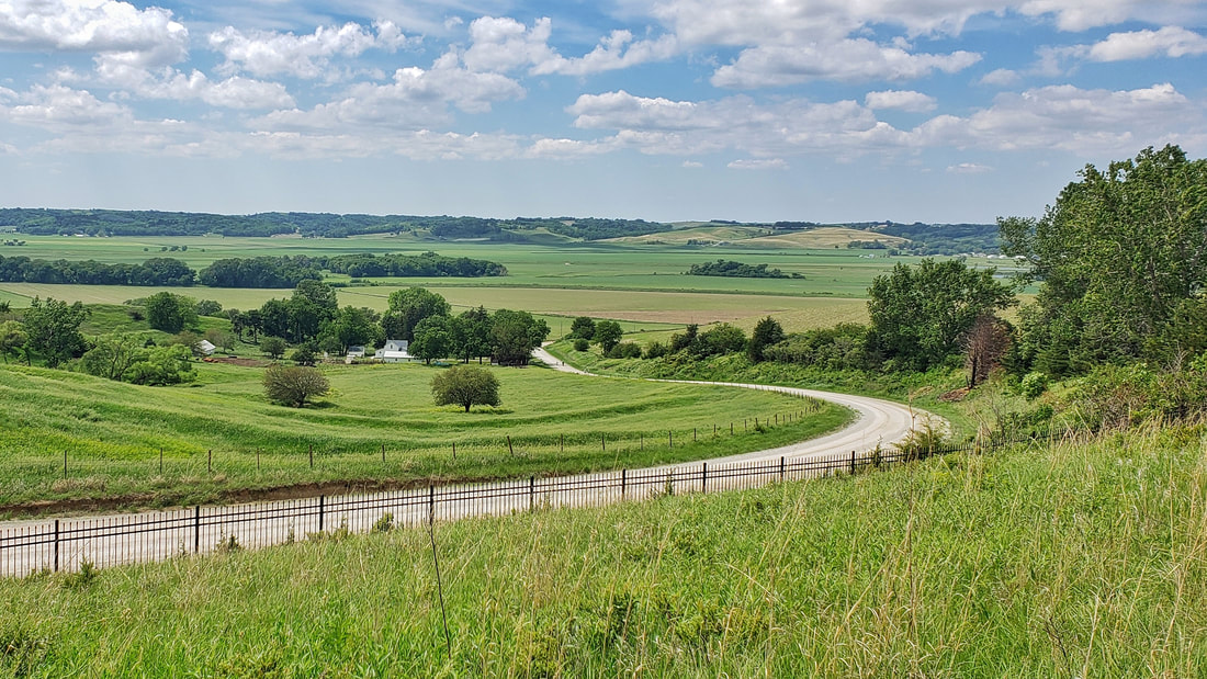
by Seth Brooks The Loess Hills were formed by three natural forces: ice, wind, and water. During the final two glacial advances of the Ice Age—the first approximately 150,000 years ago and the second 18,000 years ago—glaciers in Canada, Minnesota, and the Dakotas ground bedrock into a fine sediment called glacial flour. Meltwater then carried the glacial flour south into the river valleys of today’s Midwest, where it was deposited in broad floodplains. As the meltwater slowed and the sediment dried, the fine particles were picked up by strong westerly winds and slowly accumulated into rolling dunes of dirt. These windblown sediment deposits, named loess from the German word for loose, were stabilized by grasses and then carved by water erosion into the razor ridges and deep gullies that we see today in the Loess Hills of western Iowa. The westernmost bluffs are the steepest and offer the most dramatic views of the abrupt change from the flat floodplain of the Missouri River Valley to the angular ridges of the Loess Hills. Perhaps the best place to experience this contrast is the Mondamin Unit of the Loess Hills State Forest. With over ten miles of trails in the unit, hikers can create several loops of varying distances. There are two main trailheads with parking that offer the best access to the Mondamin Unit. Approaching the unit from the east on Highway 127, Mondamin Hill rises abruptly at the junction with Highway 183. Continue east on Highway 127 through the junction to arrive at the southern trailhead—the turn-off is marked by a brown sign in both directions. To reach the northern trailhead, turn north at the junction and follow Highway 183 approximately two miles until you see the brown sign indicating the turn-off for the trailhead. Different loops can be hiked from each trailhead; let’s start with the southern section of the Mondamin Unit. The recommended way to begin the southern loop is clockwise, as climbing up the ridge of Mondamin Hill is much easier and safer than descending, especially if the path is muddy. The trail climbs over two hundred feet in three-tenths of a mile—not worth batting an eye at if you’re a mountaineer but for flatlanders this nearly qualifies as a mountain. After “summiting” Mondamin Hill, the trail levels out and follows a wide path cut in the prairie grass atop the ridge. Soak in the views to the west of the Missouri River Valley and note the steep western slope covered in prairie grass. The shrubs, hardwoods, and eastern redcedars creeping up the west-facing bluffs are kept at bay by periodic prescribed fires to preserve the ridgetop prairie. After almost one mile, the ridgetop trail descends briefly down the eastern hillside through a wooded area only to climb back atop the ridge. The bench at the one-mile marker is a perfect place to sit and take in the expansive views of the Missouri River floodplain. Leaving the bench behind you, the trail ahead offers a few possibilities. I prefer to continue along the ridge for one mile (from the bench) until you have no other option but to descend down the western slope into a pleasant wooded hollow. This path will loop back up to the ridge, arriving at a crossroads you will have passed earlier while walking north along the ridge. This crossroads gives you several options again; I recommend continuing straight down the eastern hillside to investigate an interesting grove of white poplars that is conspicuously out of place amongst the bur oaks and hardwoods. This trail will loop back up to the ridge, where you will immediately descend once again the eastern slope albeit on a different trail. This trail will lead through a densely wooded area until you reach an open field. From here, the trail is a straight-forward: head south one and a half miles to return to the trailhead. Like the southern loop, the northern loop offers various options allowing you to make your own loop. I completed a variation of a lollipop loop that traverses the westernmost ridge in both directions. I believe the trail along this ridge is the most dramatic of all the razor ridge trails I have hiked in the Loess Hills, thus worthy of hiking the ridge in both directions. However, feel free to tackle this section of the Mondamin Unit as you wish. If you do hike a classic loop, however, you will miss a tranquil meadow that separates the western and eastern ridges of said loop. I recommend exploring this meadow, especially the southern end where you can find a great spot for a picnic or an overnight campsite next to an old bur oak. Someone has constructed a table and placed two large logs around a fire pit dug into the ground. The lack of water nearby, however, would require you to hike in all your water for the duration of your stay. This would be the ideal spot to camp if you wish to combine both the northern and southern loops into a ten-mile tour of the entire Mondamin Unit, made possible by a 1.5-mile trail that connects the two sections (refer to the Iowa DNR map of the Mondamin Unit). While certainly possible to hike all ten miles in one day, the option of dispersed camping in the Loess Hills State Forest allows you to take advantage of this spot in an idyllic meadow. If you do camp, please follow Leave No Trace principles. MapsAllTrails tracks:
0 Comments
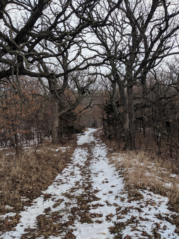
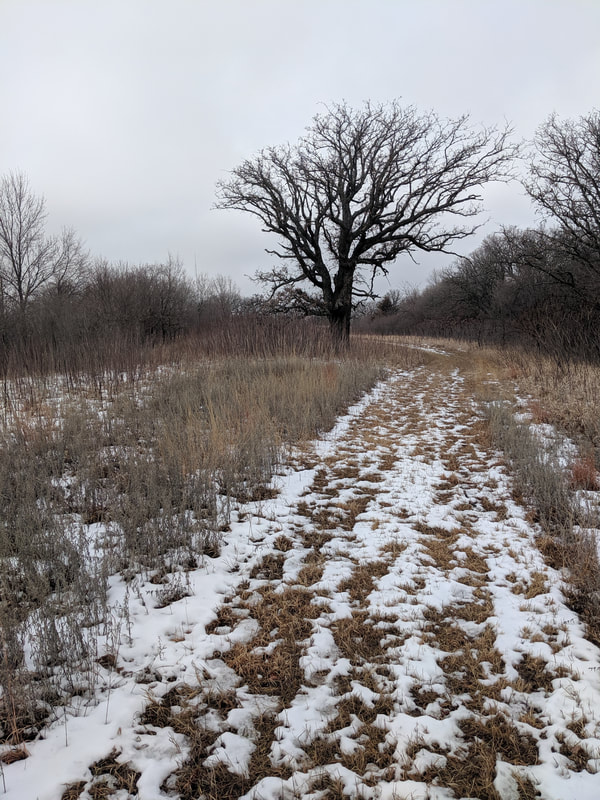
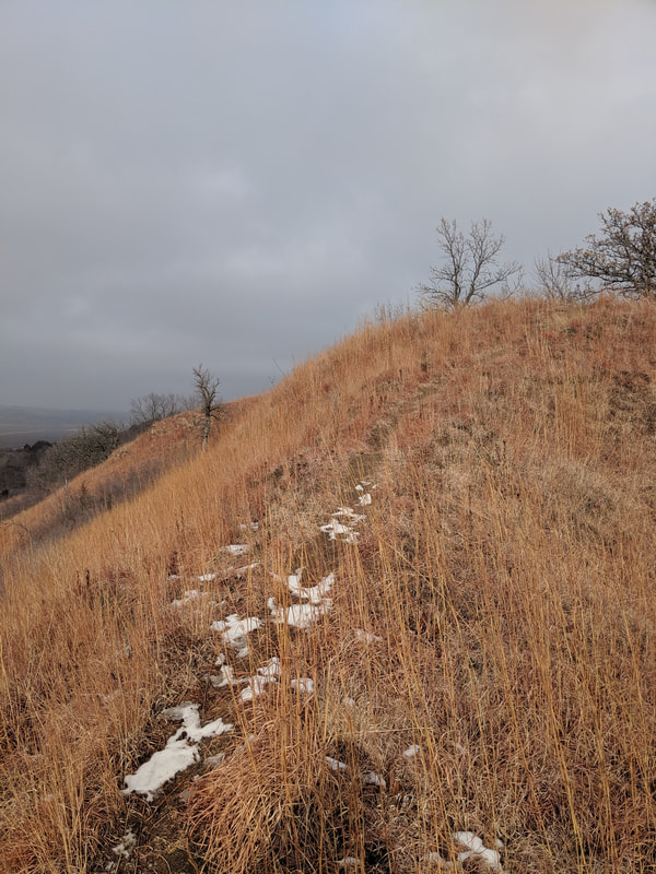
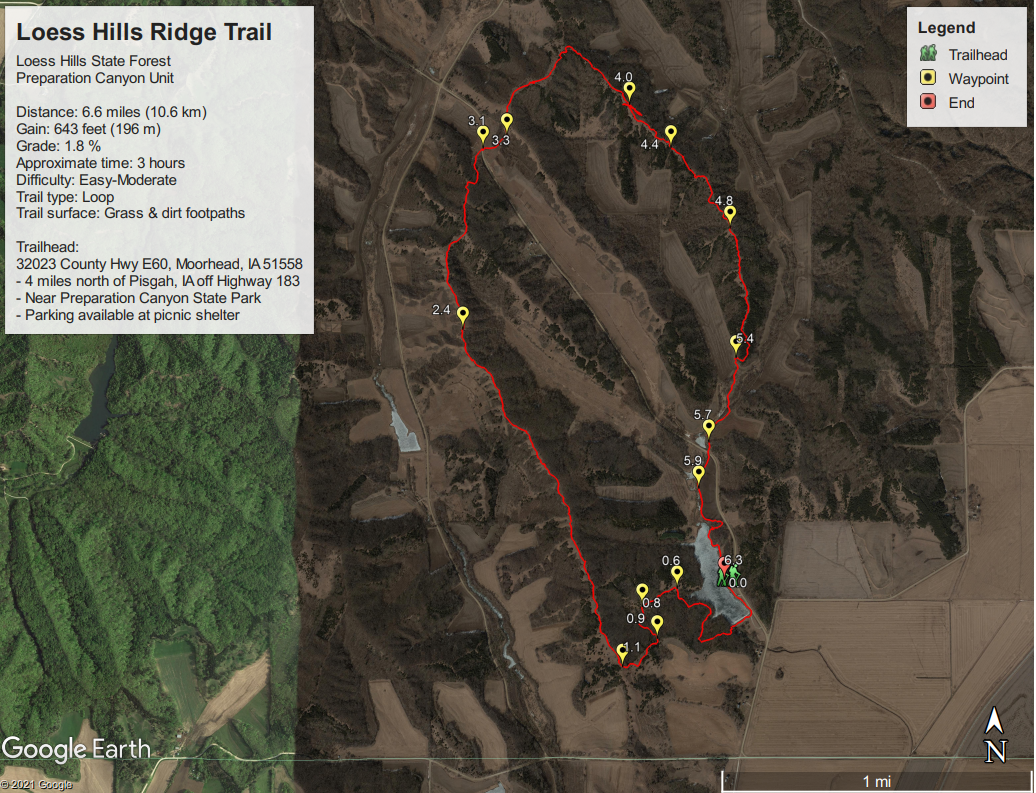
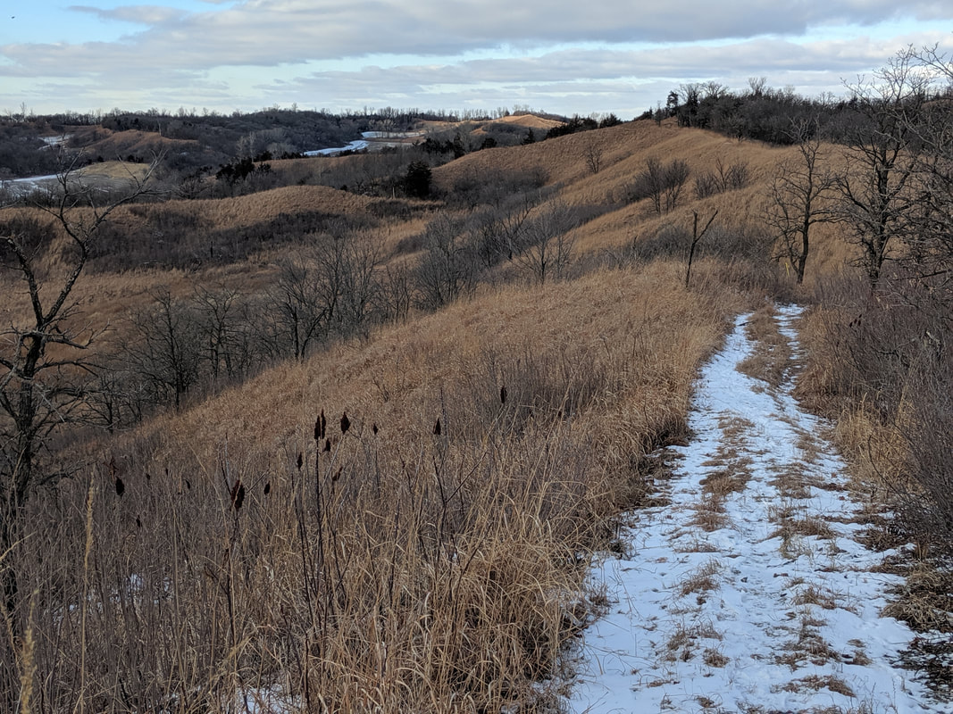
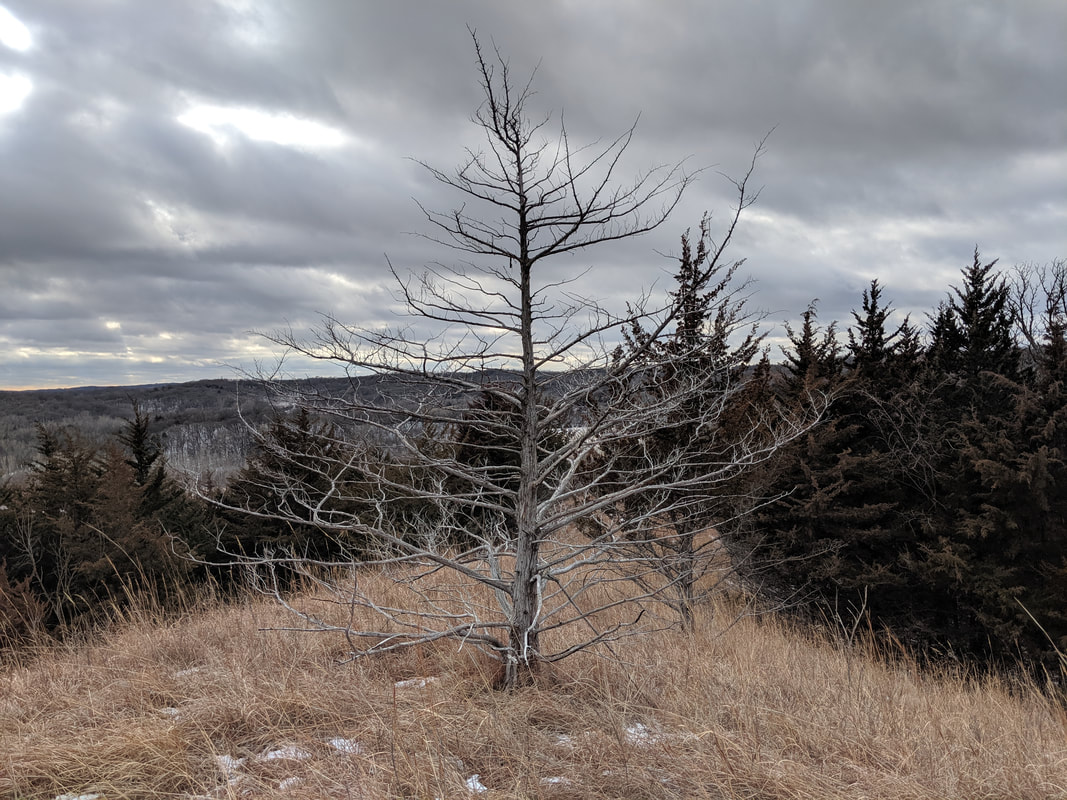
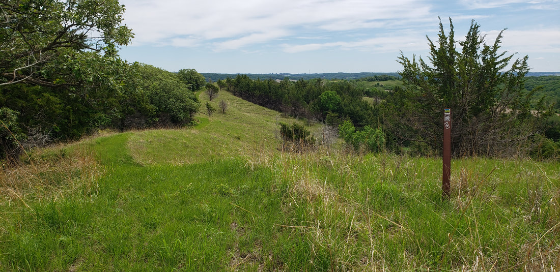
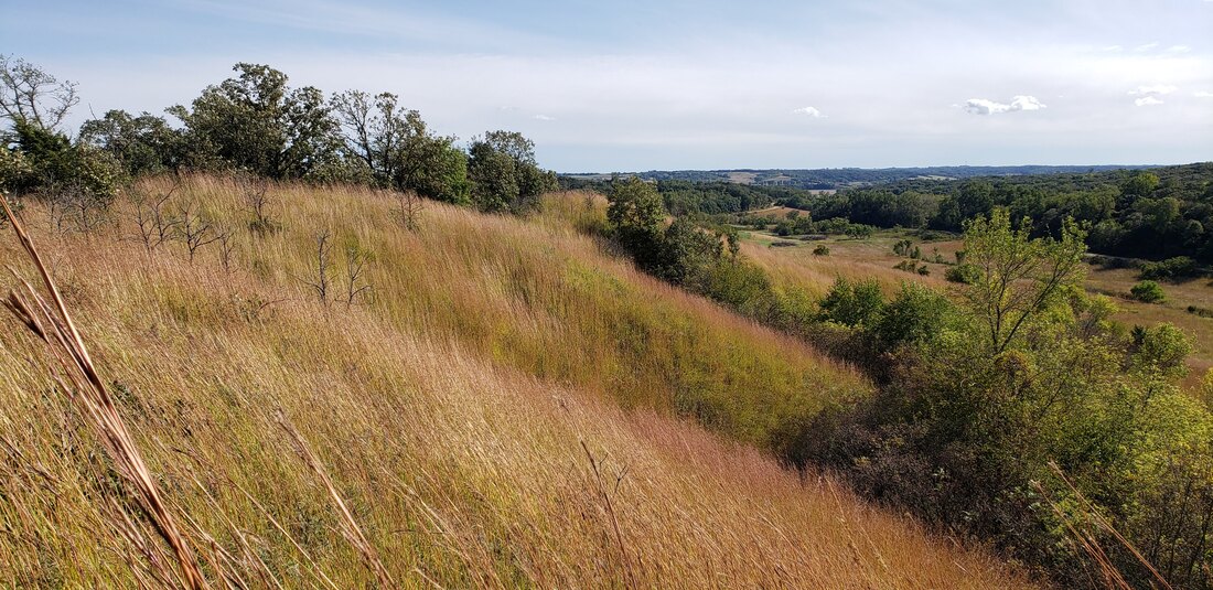
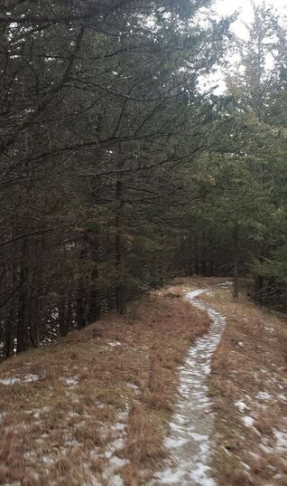
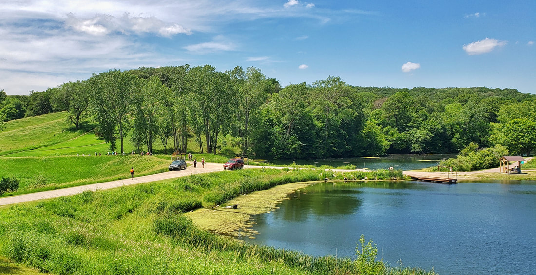
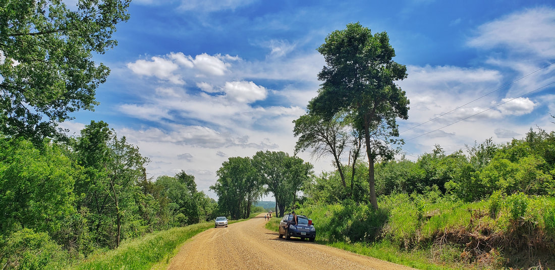
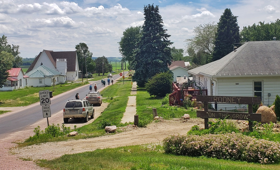
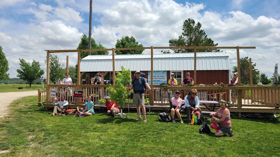
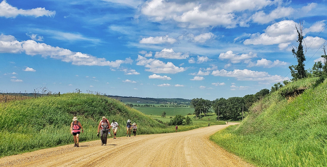
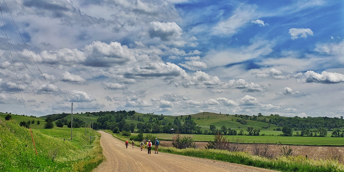
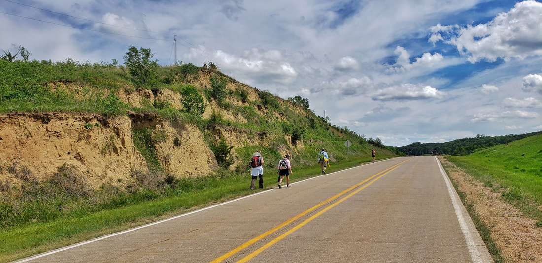
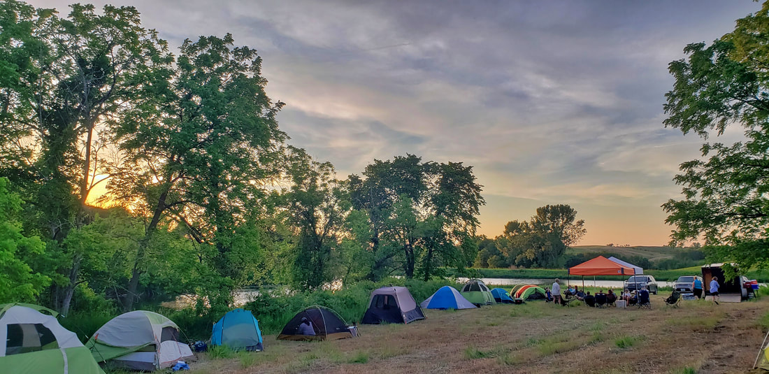
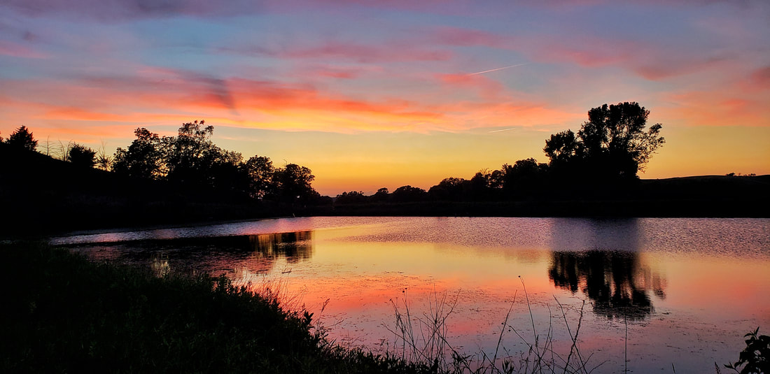
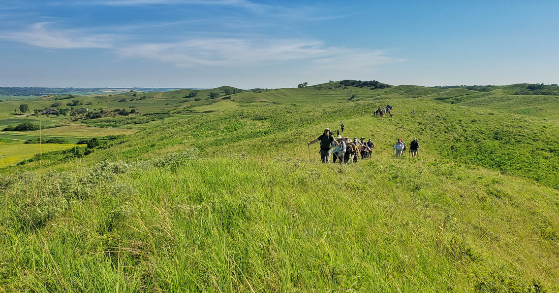
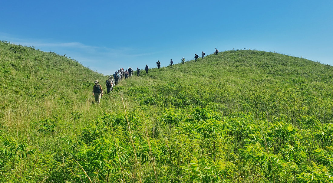
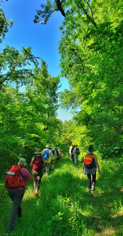
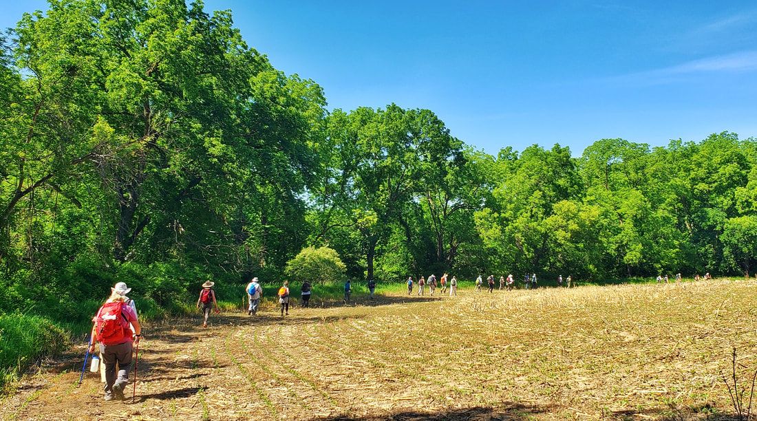
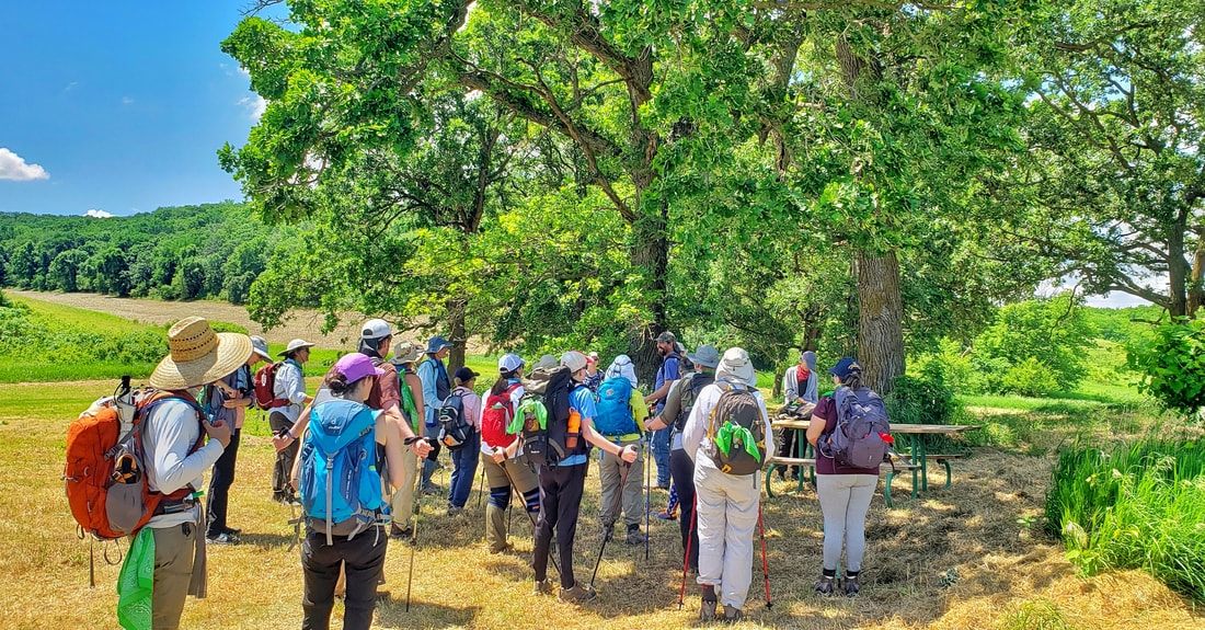
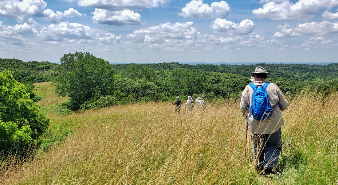
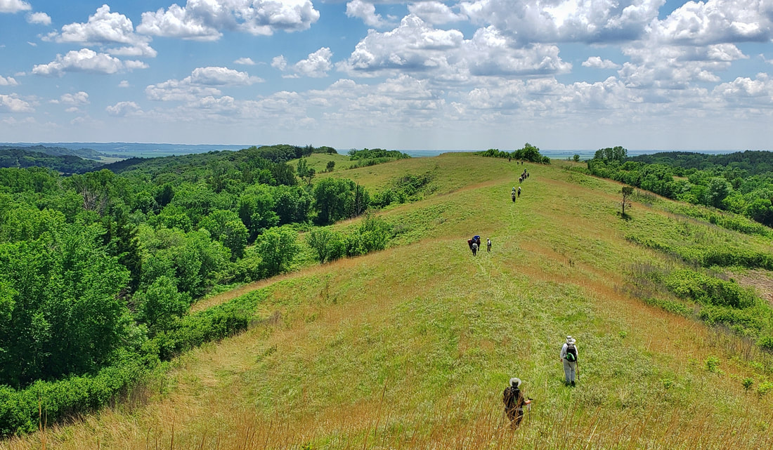
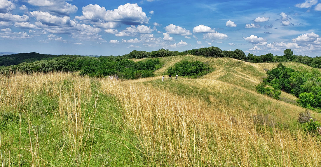
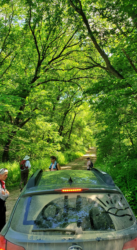
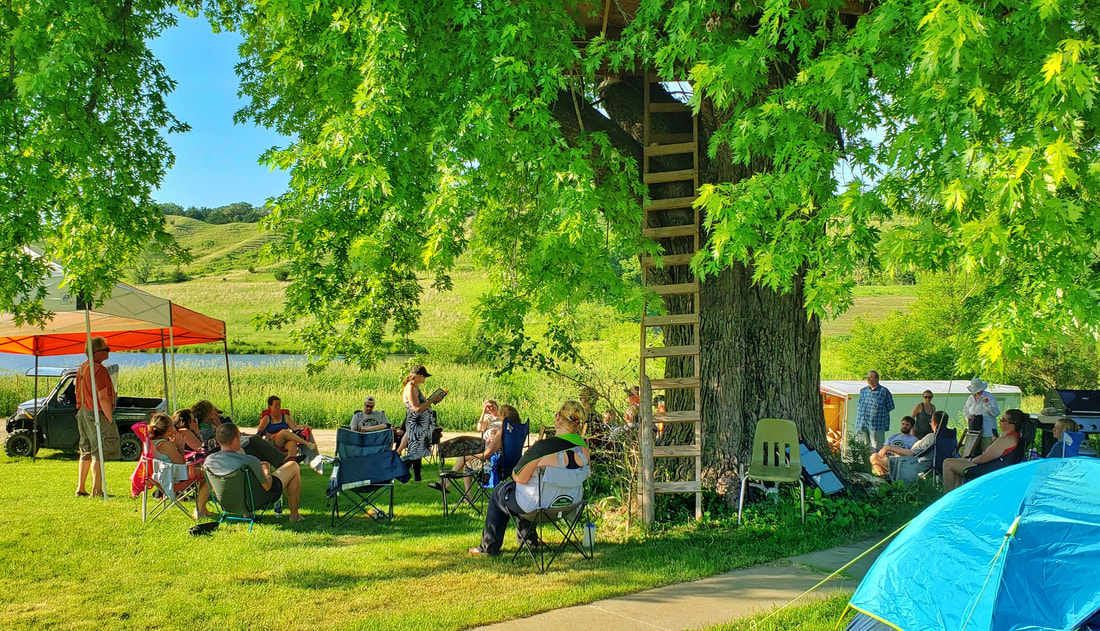
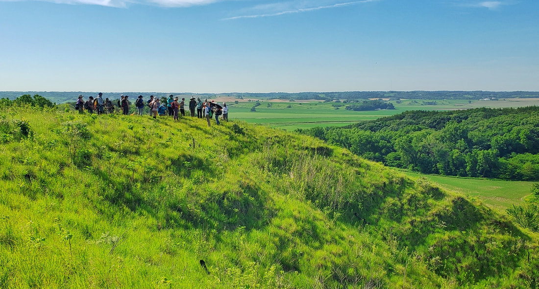
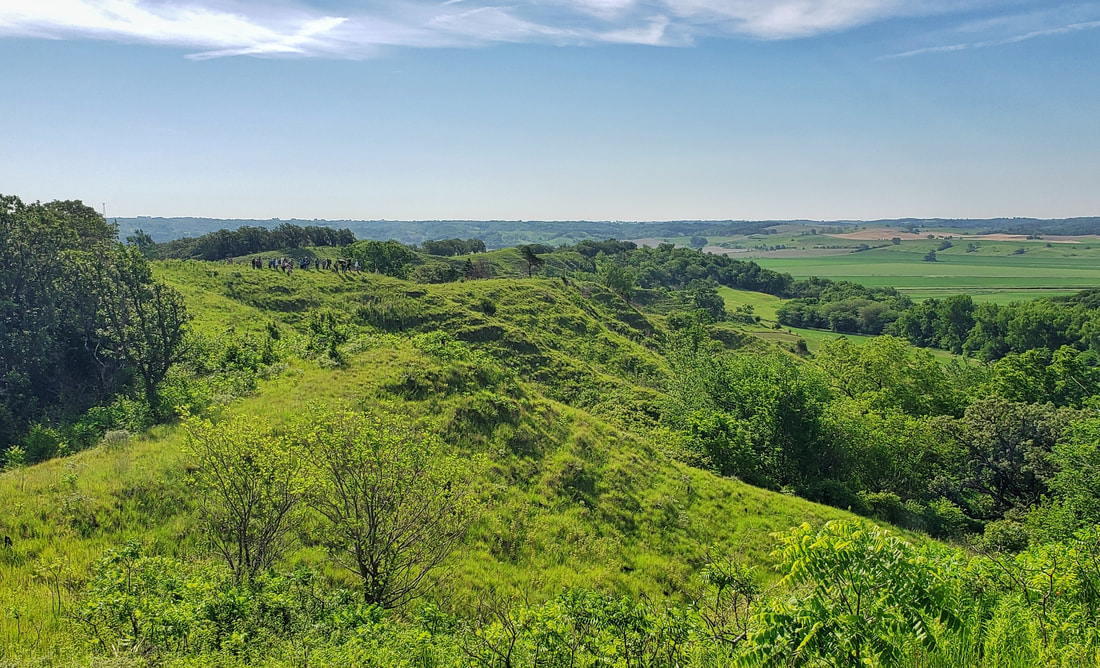
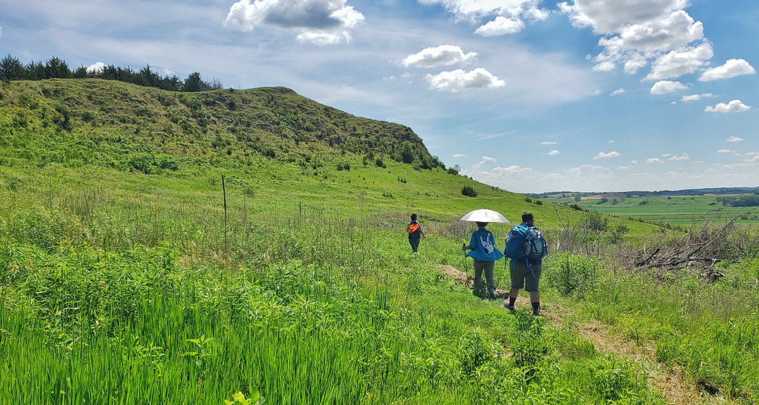
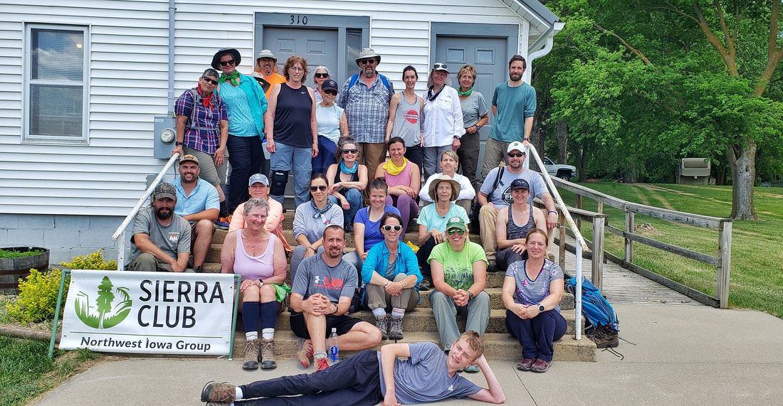
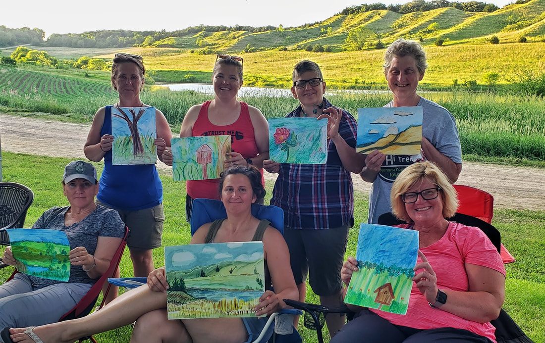
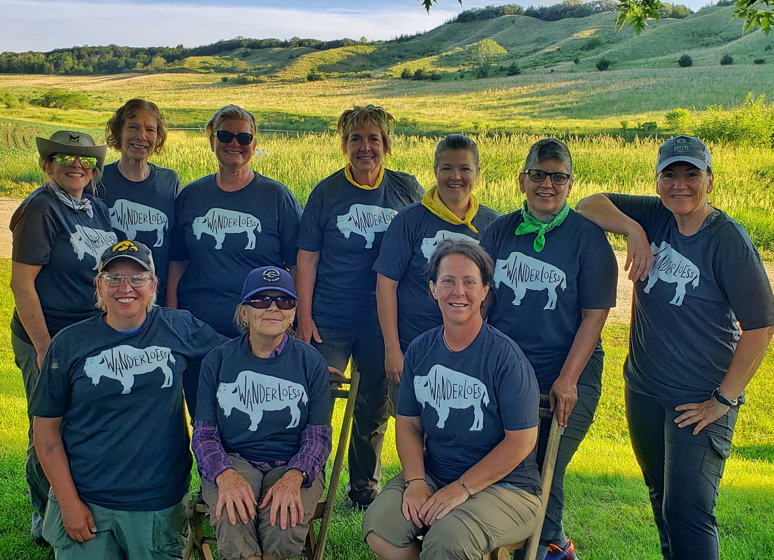
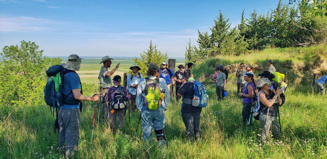
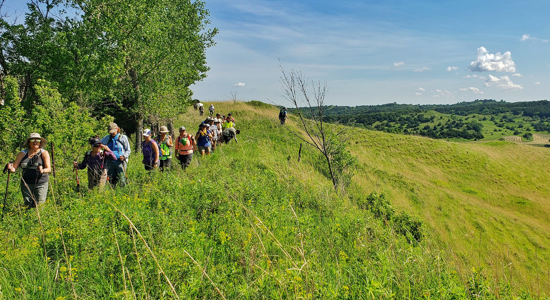
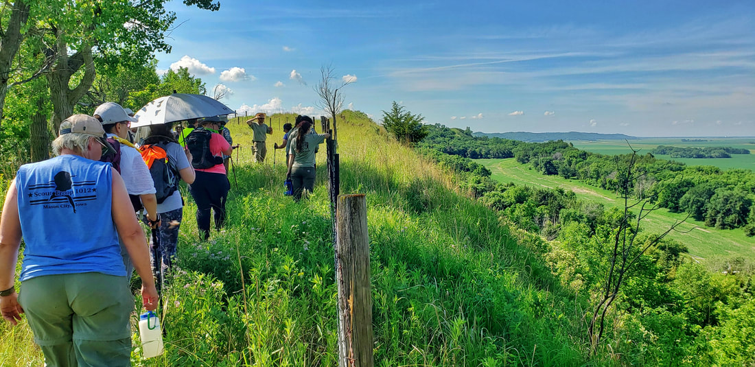
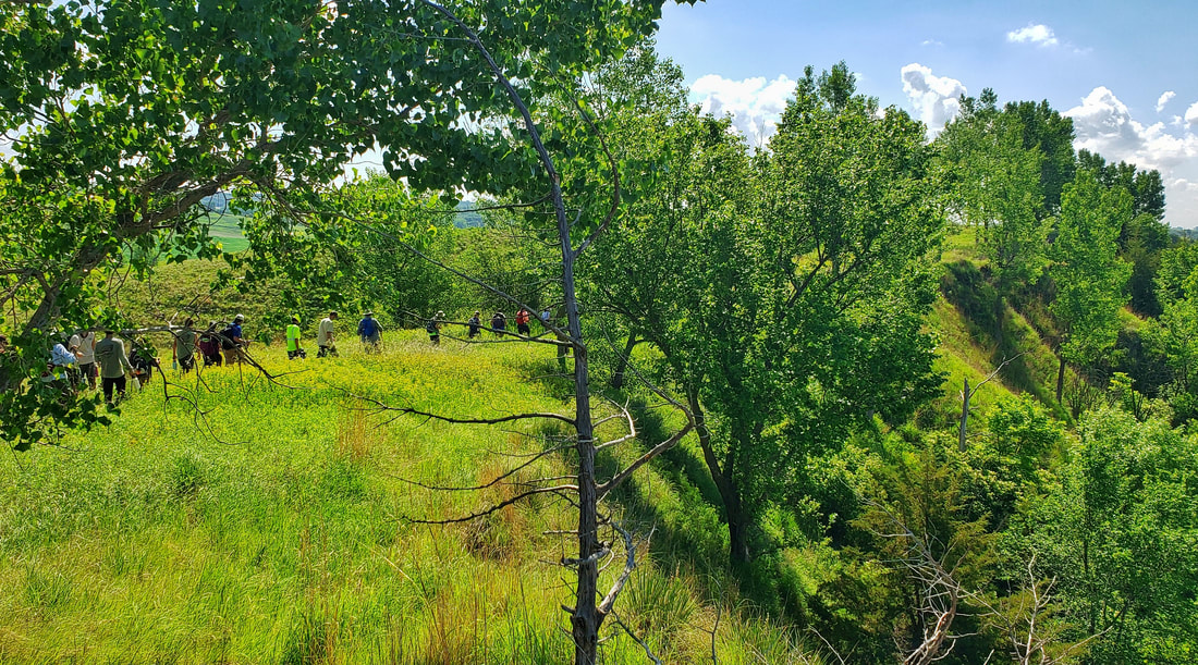
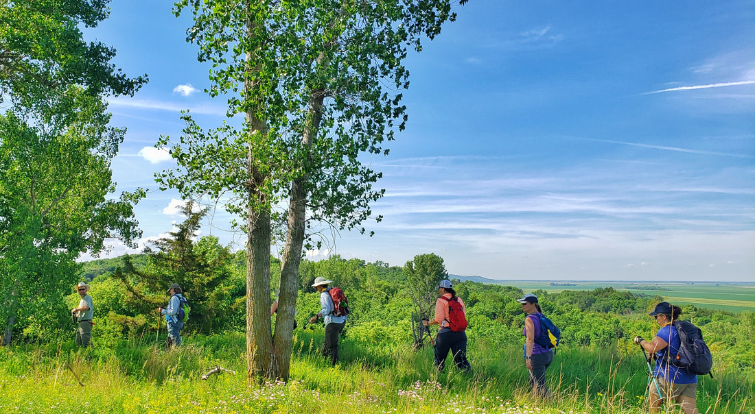
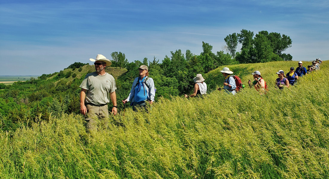
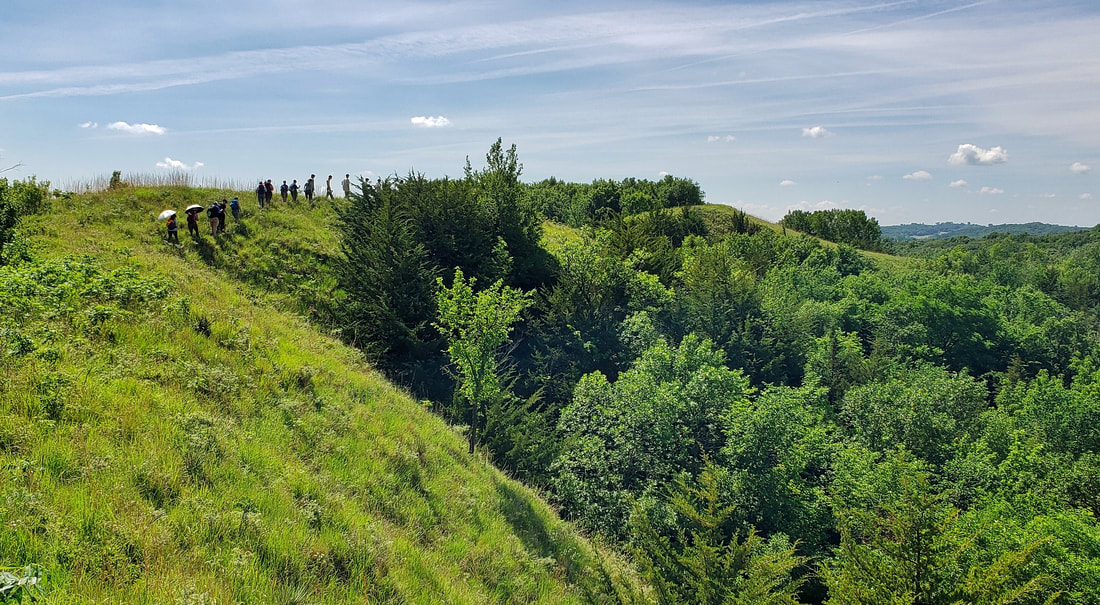
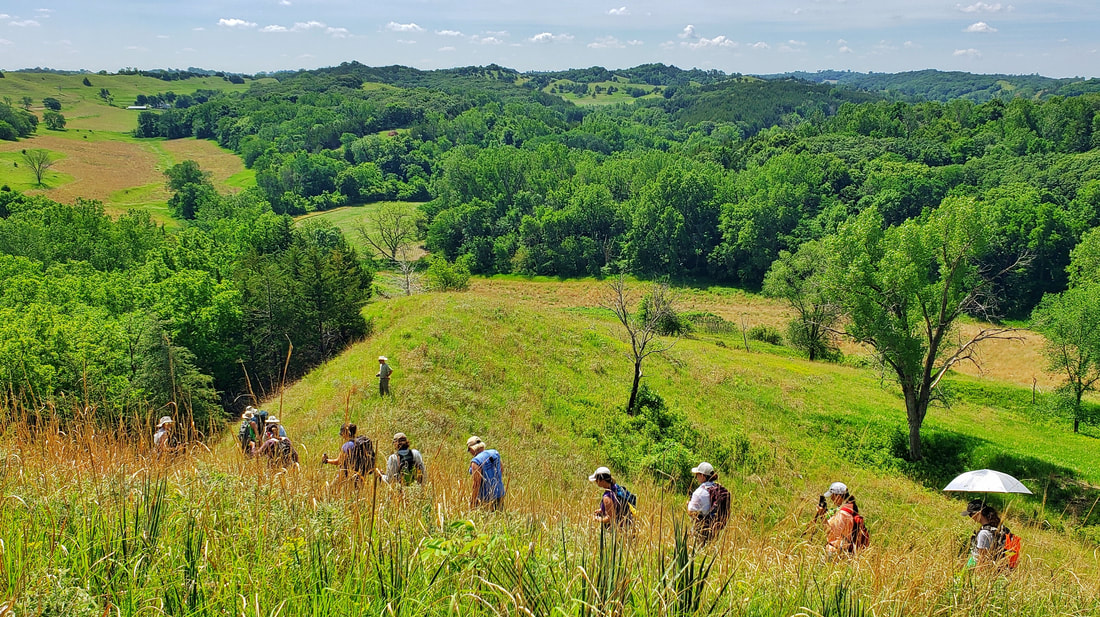
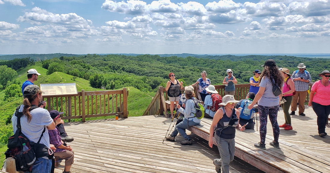
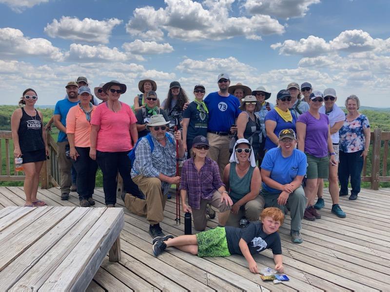
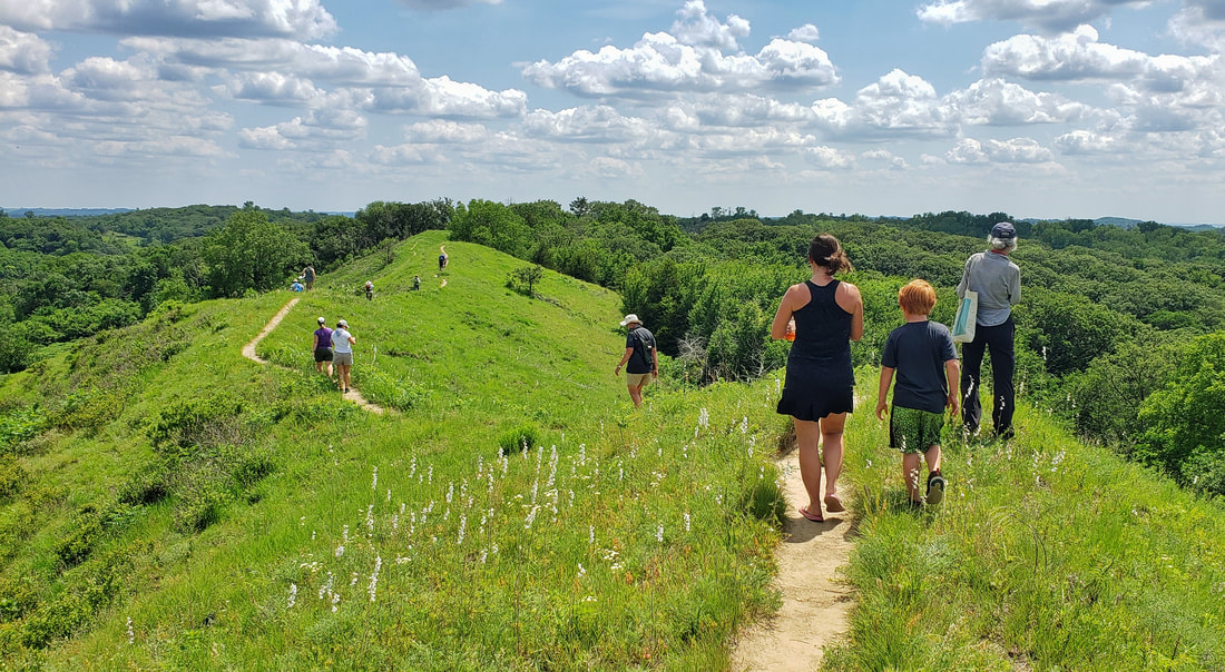
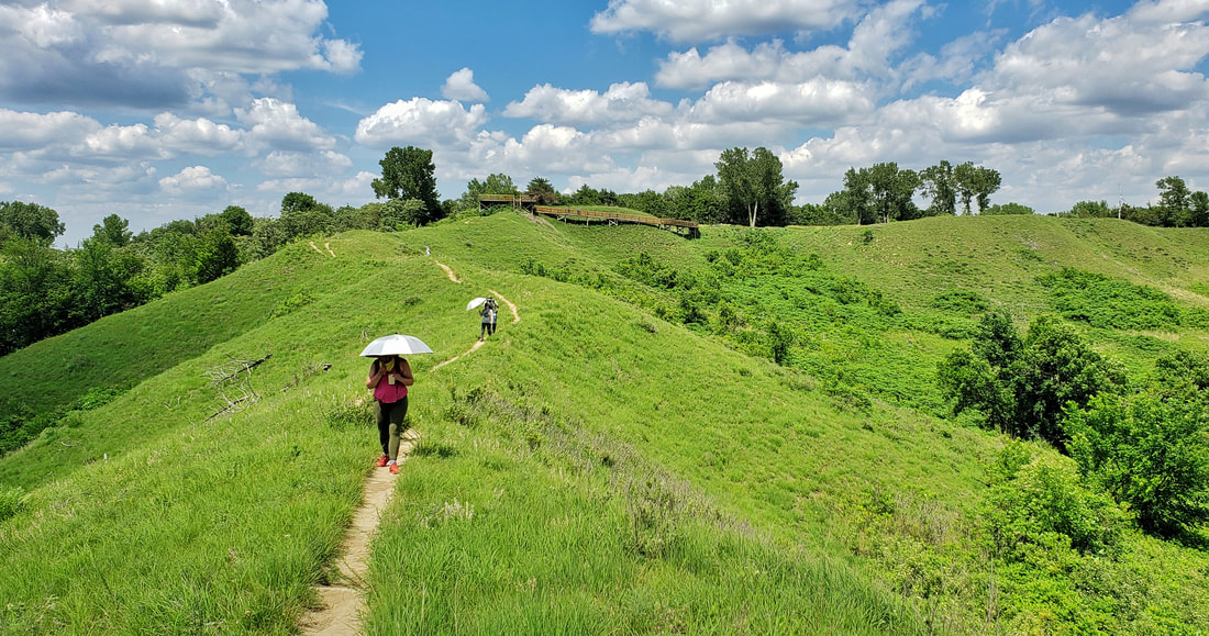
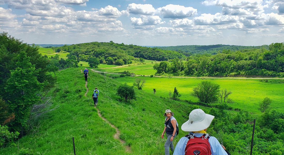
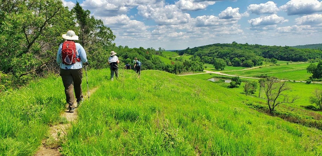
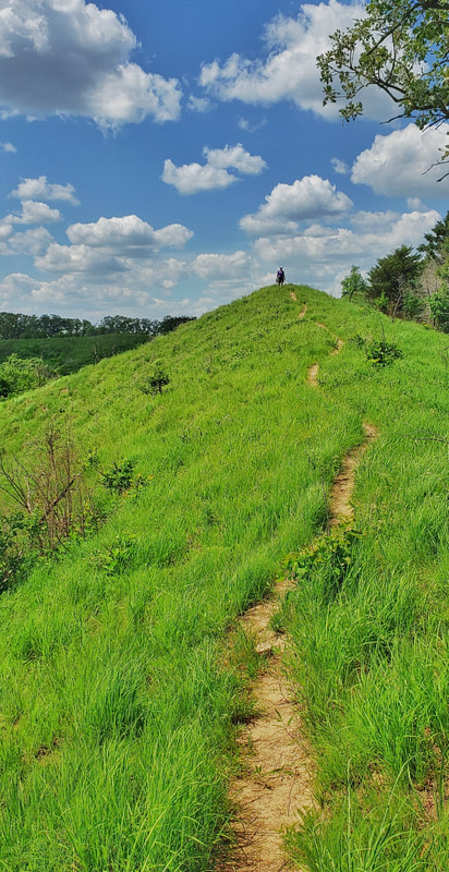
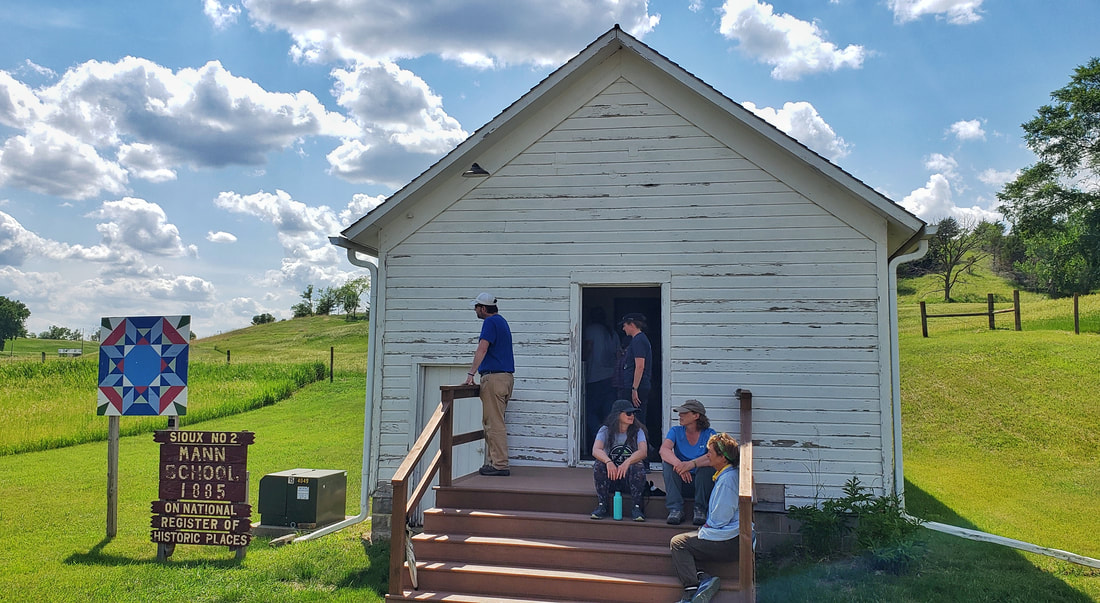
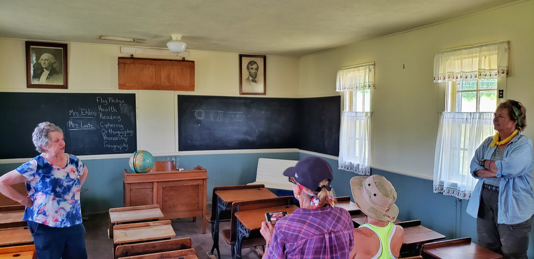
by Seth Brooks I was living in a sleepy fishing village on the northwestern coast of Spain when COVID-19 shut down the world. Locked in a tiny rooftop apartment with no internet, and isolated from family and friends by thousands of miles, I decided to return home once Spain’s strict quarantine restrictions were loosened. Once at home in Nebraska, I found myself locked down again as a second wave swept across the nation just as winter set in. Another months-long quarantine would have been devastating to both my physical and mental health, so I searched for places to get outside and hike despite the dropping temperatures and dwindling daylight. I preferred Nebraska winters to the oppressive summers, anyway. My first instinct was to head to the Loess Hills. I was familiar with the region having worked in western Iowa as a political organizer upon graduating from Creighton University in 2004. When I walked the Camino de Santiago in Spain for the first time in 2009, I dreamed of blazing a path for a thru-hike up the spine of the Loess Hills (Kelly Madigan did so herself in 2020 when she created the LoHi Trail). The problem I encountered now, however, was the lack of centralized and comprehensive information about hiking trails in the Loess Hills. I spent hours searching the websites of the various organizations that managed land in western Iowa. Instead of getting outside, I wasted time inside figuring out where I could hike. Thus, an idea was born: to create a guide of the hiking trails in the Loess Hills. I gathered all the information I could about land open to the public where hiking was allowed: public lands managed by the Iowa Department of Natural Resources or county conservation boards and conservation areas managed by private organizations such as The Nature Conservancy. I also decided to include the eastern side of the Missouri River Valley, as the Nebraska bluffs offered various opportunities for outdoor recreation. Then, I walked. More than three hundred miles atop prairie grass ridges and through the wooded hollows of the Loess Hills. I recorded and mapped each hike, noting waypoints to provide detailed directions and distance. Since I began in early November, I have compiled a list of more than fifty hikes on both sides of the Missouri River Valley. Ultimately, I hope to publish these hikes in a guidebook with information about the unique geology, biology, and history of the Loess Hills. In the meantime, I am glad to share some of my favorites hikes that I have recorded over the previous seven months. The first trail is one that I have done several times since I began this project. The Loess Hills Ridge Trail is located in the Preparation Canyon Unit of the Loess Hills State Forest. This hike traverses two ridges that rise near Jones Creek Pond, where there is parking and a shelter, an ideal place to have a picnic after finishing the hike. This loop can be followed in either direction but clockwise leaves the easiest part at the end. Beginning at the picnic shelter, the trail borders the southern end of Jones Creek Pond before entering the woods on the western side of the pond. You can explore the trail system of Jones Creek Pond as it meanders through a young forest of basswood, bur oak, bitternut hickory, black walnut, and other woodland species. Eventually, you want to take the trail named Prairie Pass (trail map with trail names available here) as it heads south to the forest’s edge. Here, the trail turns west and climbs uphill to reach the first ridge of this hike. Once you reach the top of the ridge, the trail heads north along a classic example of the prairie ridges that once dominated the Loess Hills. When Lewis and Clark first came upon them, they dubbed them “bald hills” as the woodland invasion had not yet begun in earnest. Today, unfortunately, it is becoming exceedingly difficult to encounter prairie remnants in the Loess Hills. Enjoy the uninterrupted path along the ridge’s crest with expansive views west. Both ridges this hike follows provide clear examples of the encroaching woodlands as they move uphill, particularly on their eastern slopes. As you walk north along the western ridge on this loop, notice bur oak and other trees on your right as the woodland comes right up to the ridgetop. On your left, you will find the invasive eastern redcedar, either solitary or in dense stands, that are the target of the prescribed burns and chainsaws of state forest rangers because it shades out native prairie grass. Several skeletal remains of dead eastern redcedars dot the western slope of the first ridge. After two miles, the trail descends from the ridge through some trees to County Highway E60 and, after crossing the road, climbs to reach a clearing. Your initial instinct is to follow the ridge on your right heading south. Instead, continue ahead through a broad prairie heading due northeast. The trail bends southeast and becomes less open. Eventually, you will reach a confusing intersection. Don’t take the hard right that descends to the cornfield. Also, resist the urge to continue straight on the wide path under trees; this leads to another cornfield on the eastern side of the ridge. You want to stay on top of the ridge, so look for a narrow footpath cut deep into the earth that climbs up onto the grassy ridge. This intersection sorely needs a trail marker to point hikers in the right direction. Once on top of the ridge, the trail comes and goes but the path is simple: continue atop the ridge heading southeast. The occasional Iowa DNR trail marker will confirm that you are on the right track. When you reach a deep roadcut in the ridge, the plan is the same: climb down, then back up to continue along the crest of the ridge heading southeast. 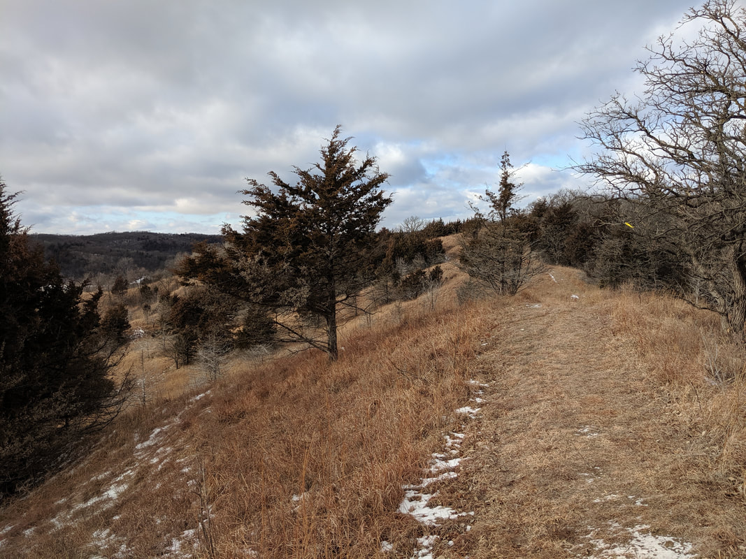 View along Ridge Trail. Photo by Seth Brooks View along Ridge Trail. Photo by Seth Brooks Eventually, the prairie is overtaken by eastern redcedar on both sides of the ridge. This forested section is an excellent spot to encounter wildlife. In December 2020, as I stopped along this section to check the Iowa DNR map and my GPS location, I heard a rustling in the woods on the eastern slope. I continued to look down until, from out of the redcedars, bounded a large whitetail deer with majestic antlers. The buck stopped in the middle of the trail, a mere twenty yards from me. We made eye contact, and before I could snap a photograph, it snorted and galloped down the western slope through the dense redcedar forest. Later, in January, dozens of turkey vultures took flight from the redcedar tops as I walked along the trail below. The trail descends under the canopy of the trees until it reaches a cornfield. Head southwest toward a gravel road, following it to reach a gate and a small parking turnout off County Highway E60. Cross the road with Jones Creek Pond ahead of you, staying on the trail on the eastern side of the pond. Before you return to the shelter and parking area, look for signs of a busy beaver or groundhog that has gnawed several trees to stumps. If you didn’t bring a picnic, two good places to stop for food or refreshment in nearby Pisgah are Dave’s Old Home Cafe or Sportsman Bar, the latter located in the same building as Loess Hills Country Corner. Pisgah is also home to the Loess Hills State Forest Visitor Center, an excellent source of information on the state forest and Loess Hills in general. More info & resources: Golden Hills, working with many partners, coordinated the first-ever LoHi Trek from June 6-9, 2021. The event attracted more than 30 participants from across Iowa and Nebraska. The name is from Lo(ess) Hi(lls) and was coined by Kelly Madigan, who hiked the entire length of the Loess Hills from South Dakota to Missouri in fall 2020. Learn more about Kelly's LoHi journey here. The original plan was to have trekkers hike about 40 miles in 4 days, including both on- and off-road sections along the Loess Hills National Scenic Byway corridor. Because the temperatures were in the 90s, however, the group decided to remove some of the on-road sections and lessen the distance to keep everyone safe and well. Monona County Conservation Board offered a trailer that was used to haul everyone's gear, and the hikers camped in their own tents each night. Day 1 began at the Loess Hills Prairie Seminar, where participants saw a program about raptor rehabilitation from Save Our Avian Resources and got an overview of the plan for the Trek. They got a sack lunch from Frannie's Cafe and were then driven to Southwood Conservation Area near Smithland. At Southwood, the trek started near the pond and took a trail to the Hammond Access on the south end of the park. From there, the route took a gravel road into Rodney. Just past Rodney, the hikers took a pit stop at the Pit Shop located at Rodney Pits/Peters Park. They had ice cream and other cold treats. After Rodney Pits, the route took more rural county roads south past the historic Grant Cemetery. The day ended at the Hargroves North tract of Loess Hills Wildlife Area near Ticonic, where participants set up tents in the shade. Dinner was provided by Ada J's Steakhouse in Ute. The campsite was located near a pond that offered scenic sunset views. Day 2 started with breakfast at the campsite, with coffee from Frontiers Coffee Company of Onawa. Day 2 was going to be the longest day of the Trek, but due to the heat, trekkers were shuttled by vehicle several miles down the road to Utterback Pond. From the pond, the group hiked up a prairie ridge through the Loess Hills Wildlife Area. The route through Loess Hills Wildlife Area also included wooded areas and field edges. Throughout the event, several participants provided insight and information about the Loess Hills, native plants, and ecology of the region. Lunch was held at the Loess Hills Prairie Seminar site, provided by Divide Hill Roadhouse. After more prairie ridges, the trek reached the Arcola Access, then hiked a gravel road east to Van & Jeannie Sterner's place for shade and refreshments. The day ended at Kelly Madigan & Doug Chafa's property, which offered many recreational opportunities like swimming and paddling in the farm pond. Several local residents joined with the hikers for dinner and discussed their love for the land and their reasons for living there. Day 3 was also rerouted from the original route to shorten miles due to heat. Trekkers left the campsite and hiked up a ridge into Turin Wildlife Management Area. From the wildlife area, trekkers took a county road south into the town of Turin, where lunch was provided by the Northwest Iowa group of the Sierra Club. Dave Poole, the mayor of Turin, opened the air-conditioned community center to provide some relief from the hot sun. After Turin, the hikers were shuttled back to the Madigan property instead of the planned campsite because of the hot weather. Participants had down time in the afternoon and some completed watercolor paintings led by Melanie Vote and Anna Stoysich. Dinner was provided by Sabor a Mexico out of Ute, Iowa. The fourth and final day was shortened again due to heat concerns. Trekkers were driven to a property owned by Iowa Natural Heritage Foundation south of Turin. INHF's Loess Hills Land Stewardship Director Kody Wohlers led the group through the property and discussed their stewardship efforts on the land. Hikers were driven to the Brent Olson Loess Hills State Forest Visitor Center in Pisgah for lunch, provided by Dave's Old Home Cafe. After lunch, the final walk of the Trek took place at the Loess Hills State Forest overlook, where Sandy Harris with the Loess Hills Hospitality Association gave a welcome and offered souvenirs to hikers. After the overlook, several trekkers drove a few miles up the road to the historic Mann Schoolhouse. This was planned to be the lunch site for the day as it would have been directly on the route, but lunch was relocated due to the heat. Local resident Judy Ehlers opened the school for a free educational tour of the building, which is listed on the National Register of Historic Places. From there, trekkers headed home. Despite the heat, the event was overall a success. Many participants expressed interest in other similar hikes in the Loess Hills.
Golden Hills would like to thank all of the partners that made the LoHi Trek successful, including:
Golden Hills will coordinate more Loess Hills hikes, so stay tuned at goldenhillsrcd.org |
Archives
June 2024
Categories
All
|
Address712 South Highway Street
P.O. Box 189 Oakland, IA 51560 |
ContactPhone: 712-482-3029
General inquiries: [email protected] Visit our Staff Page for email addresses and office hours. |

 RSS Feed