|
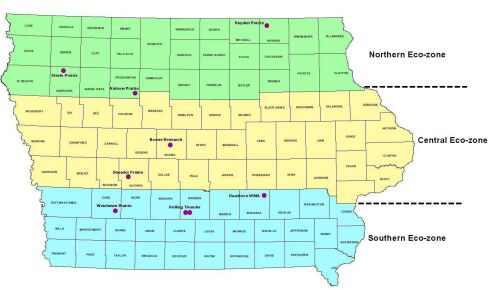
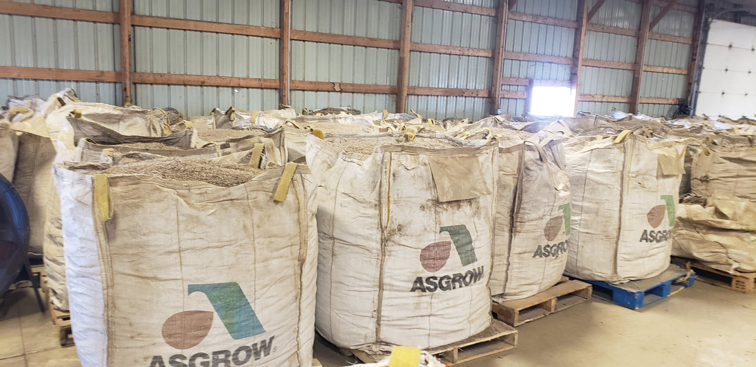
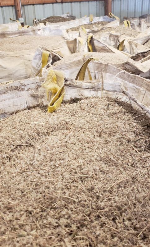
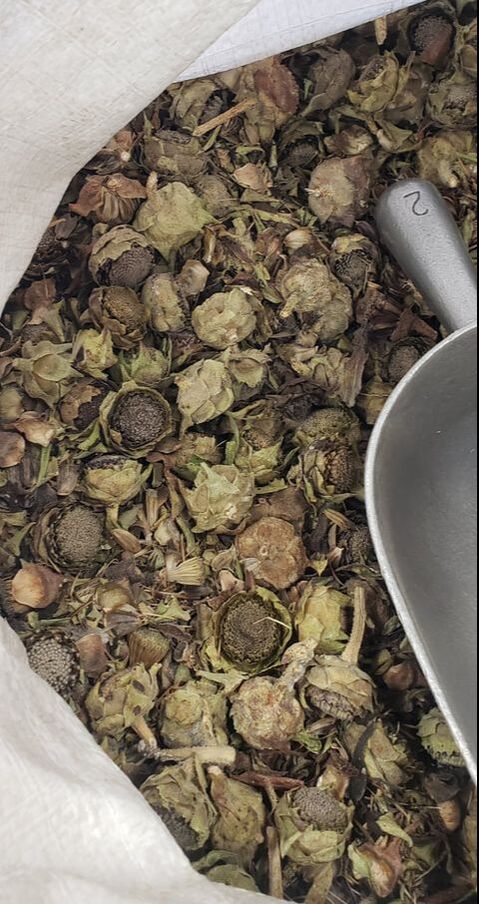
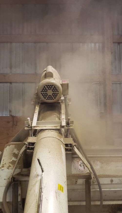
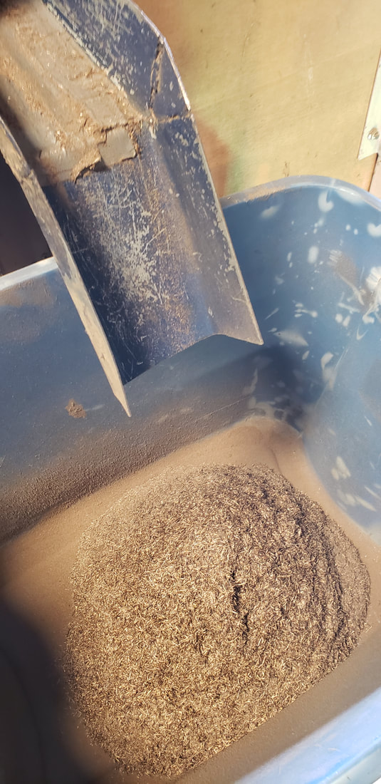
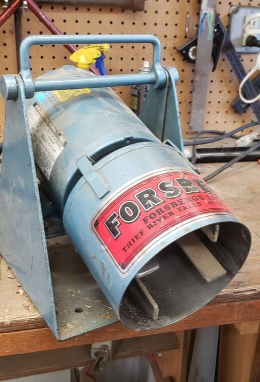
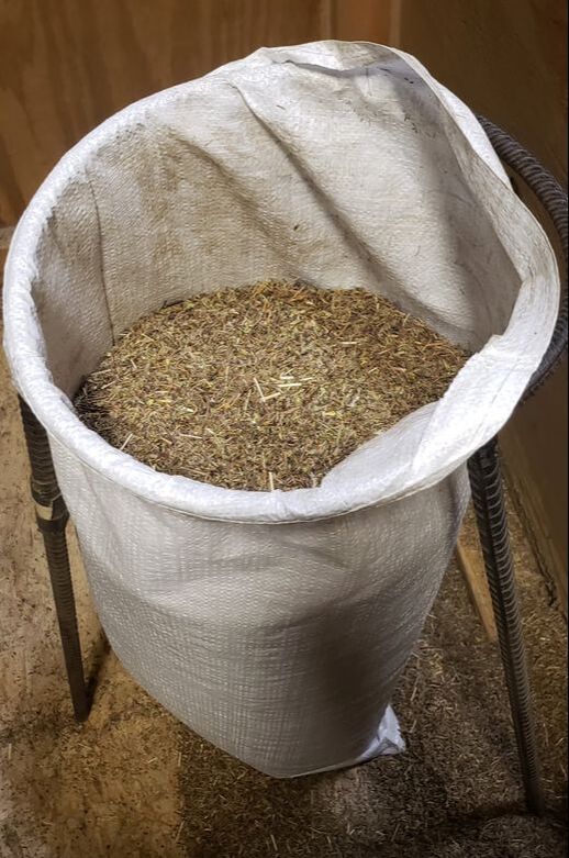
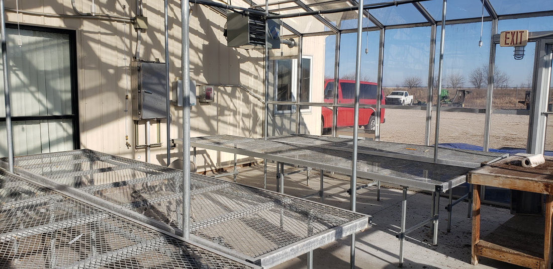
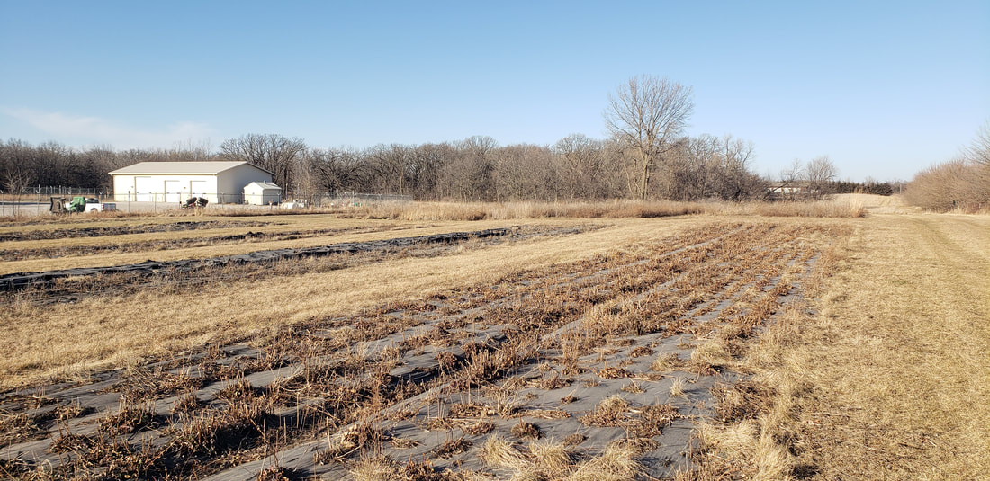
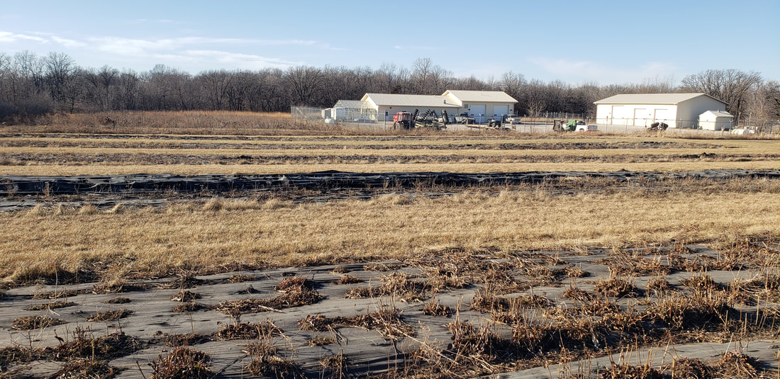
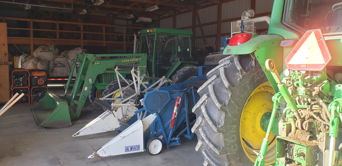
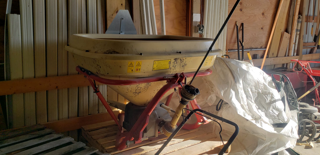
Last week we had the opportunity to visit the Iowa Department of Natural Resources' Prairie Resource Center (PRC). The PRC provides prairie seed to public lands (state wildlife areas and parks) across Iowa. Their operations are primarily located at Brushy Creek State Recreation Area in Webster County, with additional facilities at North Central Correctional Facility in Calhoun County. Staff and volunteers visit remnant prairies in different parts of the state to harvest local ecotype seed. They then clean and store seed, and share it with public land managers within the respective eco-zones. From DNR's PRC website: "A plan was devised to divide the state into 3 zones, the northern 3 tiers of counties, the central 3 tiers of counties and the southern 3 tiers of counties. (This plan is in synchronization with the Iowa Ecotype Project/University of Northern Iowa which works with private seed producers.) For instance, pale purple coneflower is harvested from several prairie remnants in the north zone. Seed is cleaned, grown into 4-6 inch plants in a greenhouse, and planted into a single-species, cultivated row with other plants from northern Iowa. Seed is collected by hand or by use of a small combine and returned to public land in northern Iowa. Native grass seed is collected, planted in larger field situations and harvested with a combine equipped with a unique rice-head stripper. This allows seed to be harvested yet the valuable residue remains as winter cover for a variety of wildlife species." Map of Iowa's eco-zones: Photos of some of the harvested seed to be cleaned: A variety of equipment, both large and small, is used to remove seed from hulls, chaff, and other debris, The leftovers are kept separate and returned to fields to provide nutrients to the prairies. An example of cleaned seed: In addition to seed harvesting and cleaning, the Prairie Resource Center has a greenhouse where they grow native plants. Most of the plants are used in their seed plots. Seed plots provide an easy way to harvest specific species, planted in rows, versus searching through prairies to find one species and harvesting by hand. Due to the scale of operations, the DNR uses tractors and combines for some seed harvest, in addition to hand-harvesting remnant prairies. Below is an example of a seed spreader that is used to sow prairie seed. Golden Hills would like to thank Laura Leben with DNR for providing the tour.
We recently received a Specialty Crop Block Grant entitled Perennial native seed production for rural resilience. With this project, we will be working with public and private landowners to establish native seed production plots. Project updates will be posted at goldenhillsrcd.org/prairieseed. Email [email protected] with any questions about this project or the PRC visit.
0 Comments
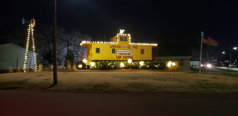
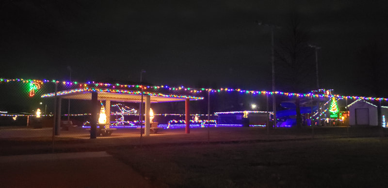
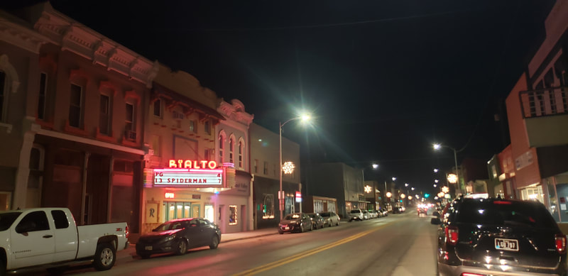
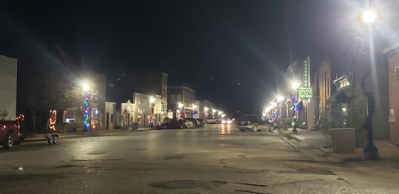
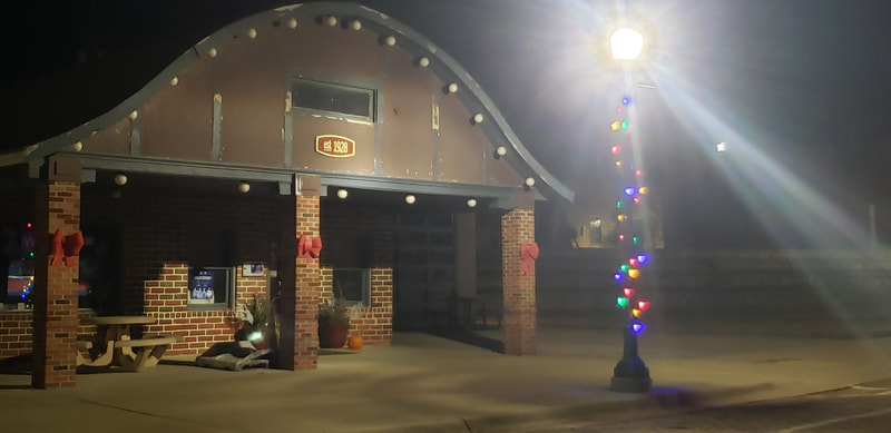
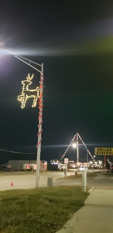
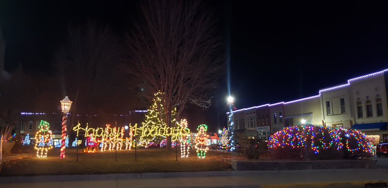
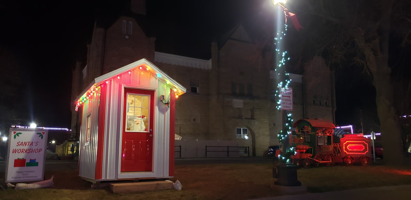
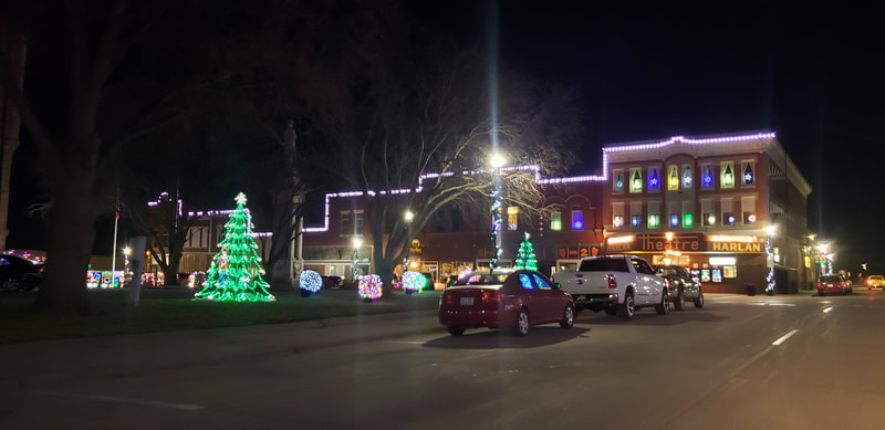
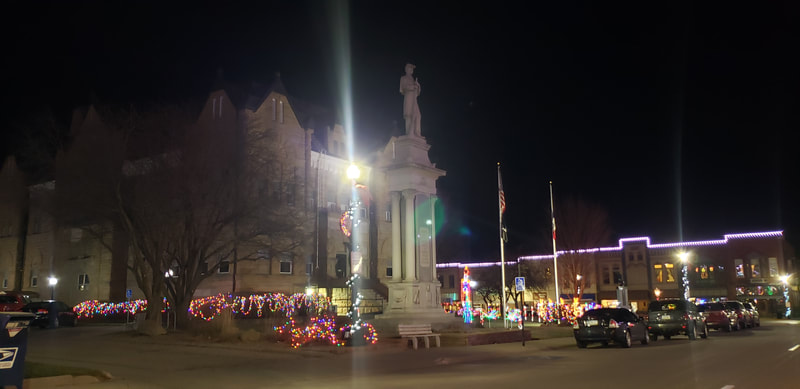
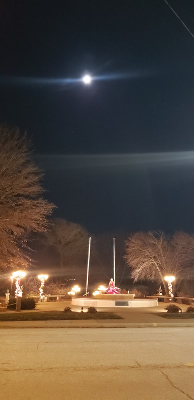
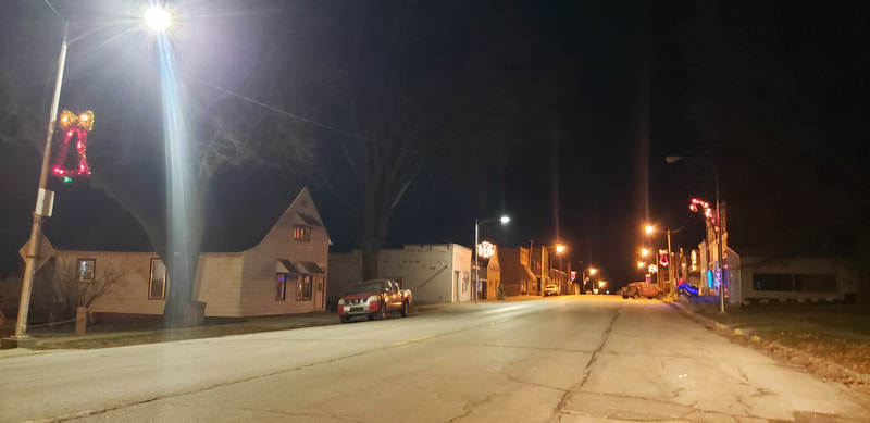
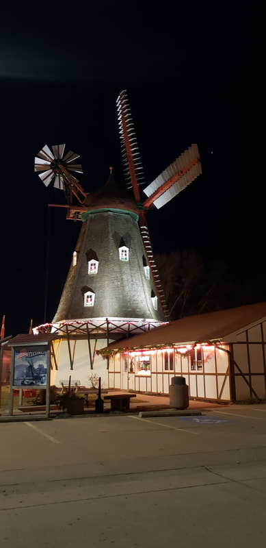
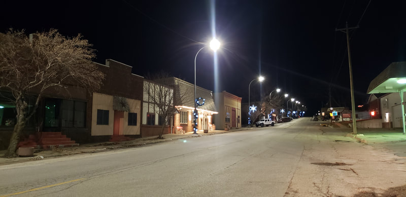
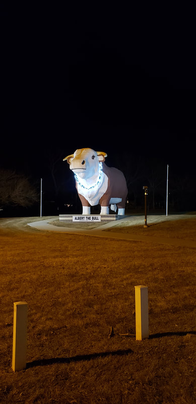
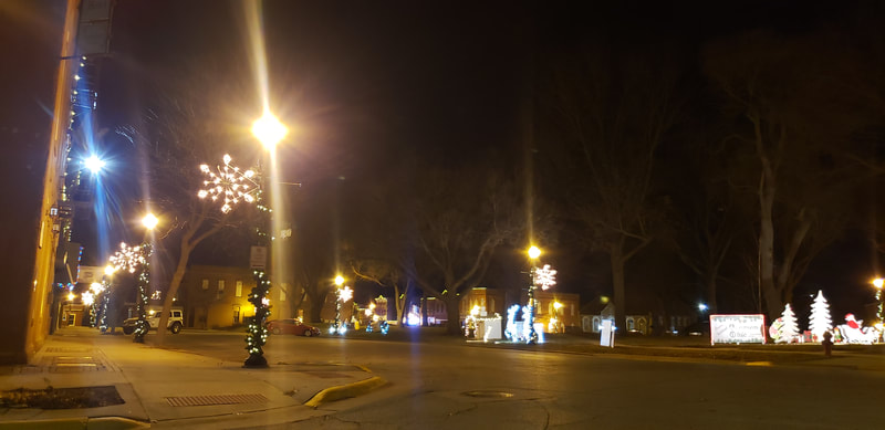
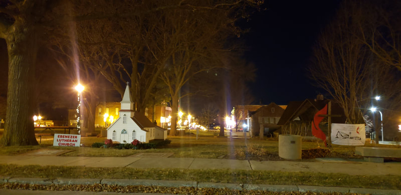
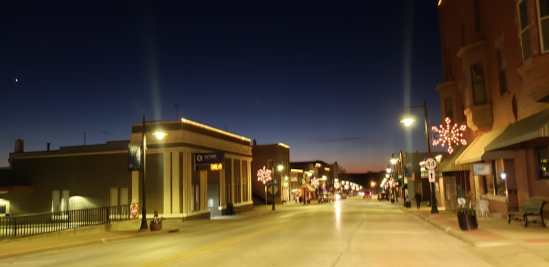
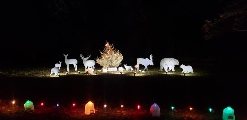
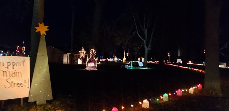
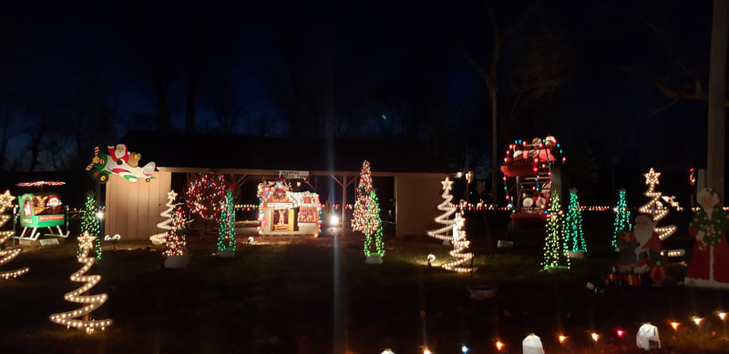
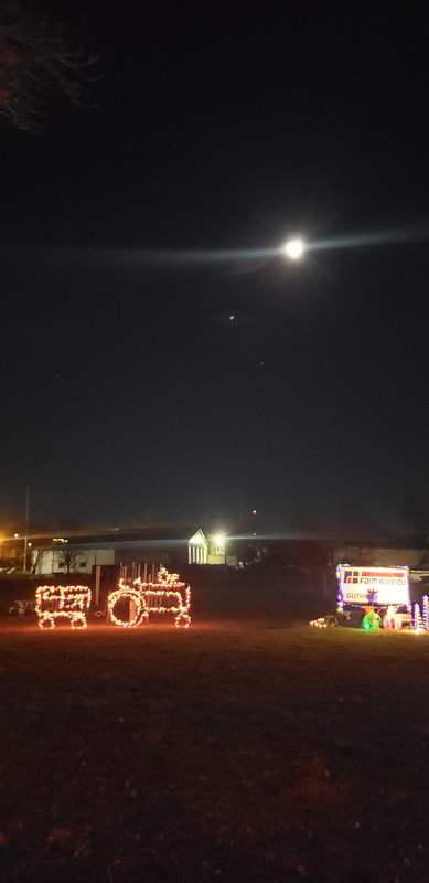
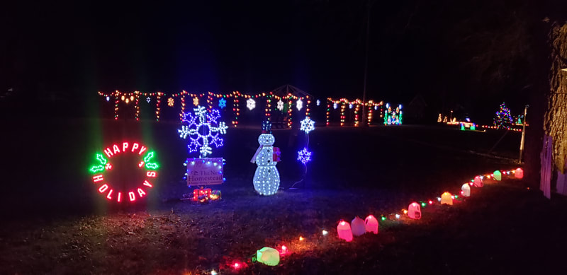
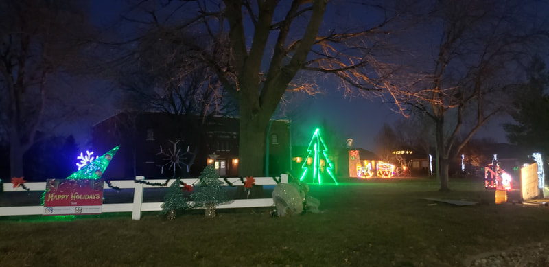
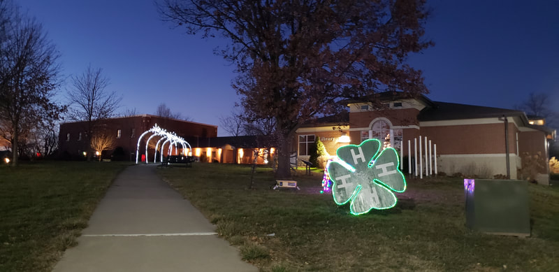
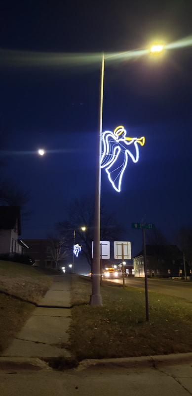
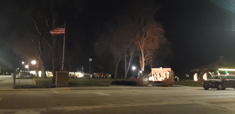
Western Skies goes through four counties (from west to east: Harrison, Shelby, Audubon & Guthrie. The Byway Corridor includes all four counties, primarily along Highway 44 with a spur along Highway 173, a loop on F32 in Shelby County, with the western end on Highway 30 and the eastern end along P28. Located directly on the route are 12 incorporated communities: Missouri Valley, Logan, Woodbine, Portsmouth, Panama, Westphalia, Harlan, Kimballton, Elk Horn, Guthrie Center, Panora, and Stuart (from west to east). *please note this was published in 2021 and sites may be different this year* With the early sunset and long nights, you may be hesitant to travel after dark. With proper precautions (watch for deer!), you can drive through any of these communities through the next couple weeks to see a variety of public Christmas and holiday light displays, Although it's technically a few miles off the Byway, we also recommend visiting Audubon to see the downtown area and Albert the Bull decked out for the holidays. In addition to many private residences and businesses. Most main street and downtown areas have lights and decorations that are visible from dusk 'til dawn. Check out the photos below for a few examples of what you can see (apologies for the poor quality; these were all taken with a phone...if you have photos you'd like to share, let us know). The Guthrie Center display in Mitchell Park has a large drive-through display that even includes some moving light displays: Take advantage of the unseasonably warm and dry weather and explore Western Skies Scenic Byway!
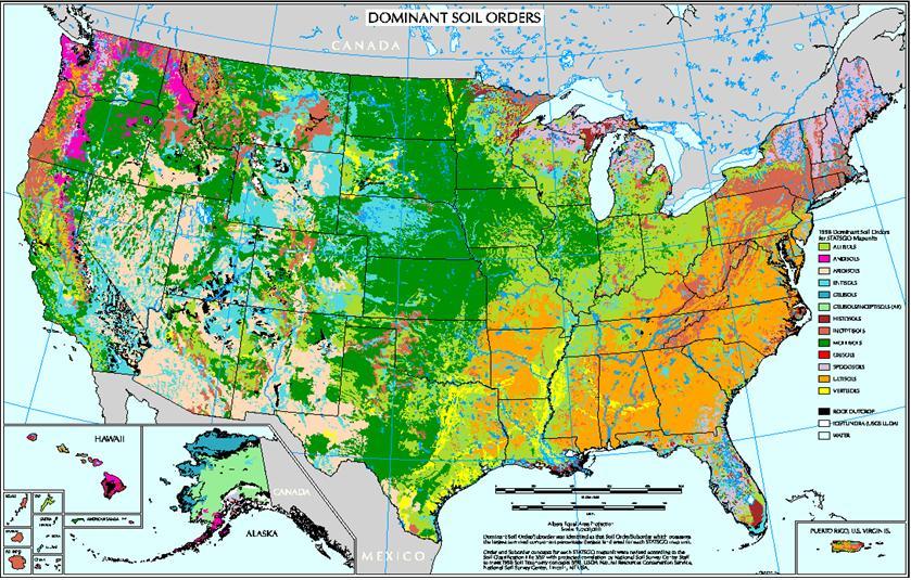
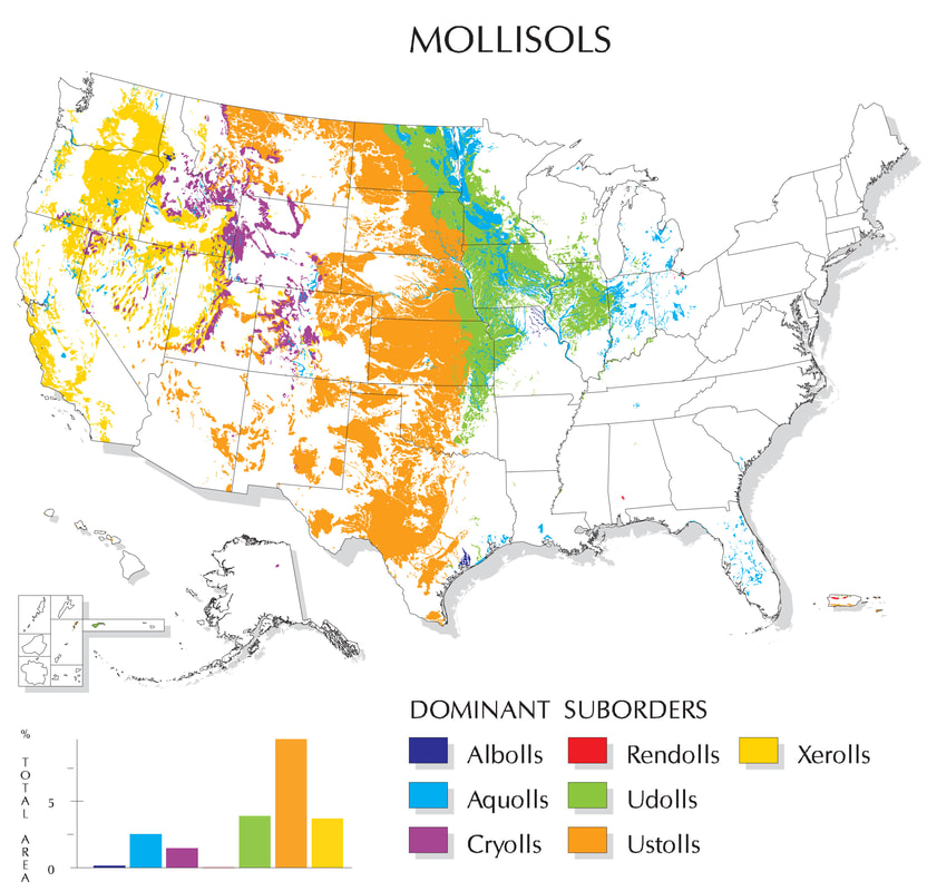
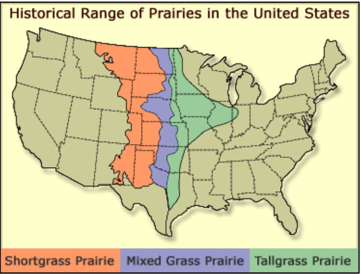
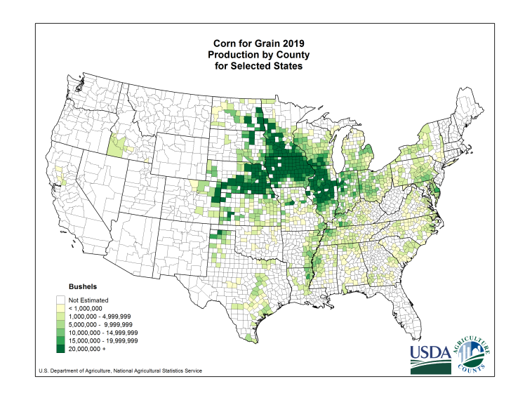
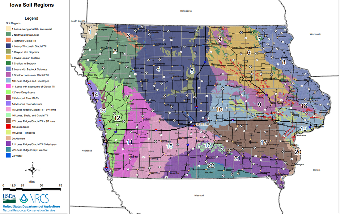
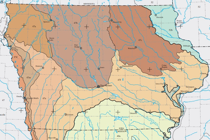
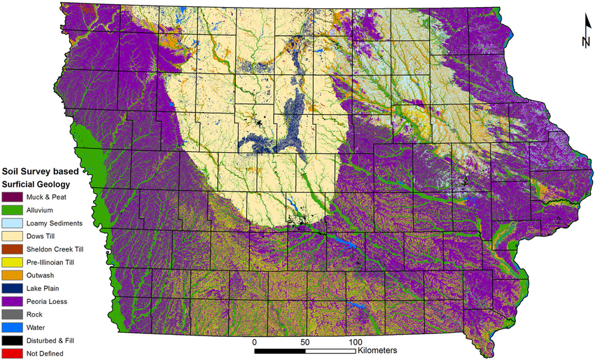
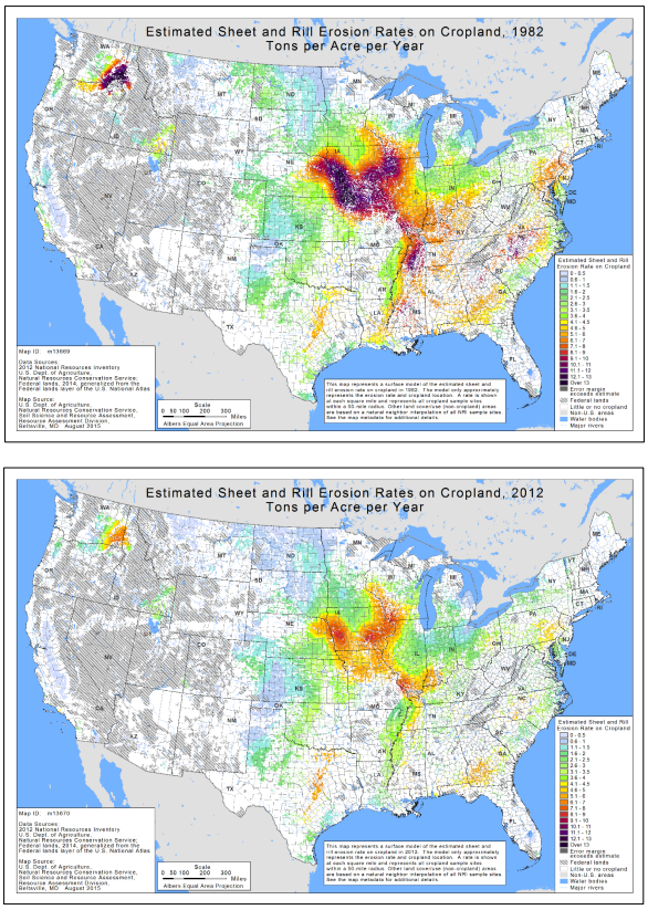
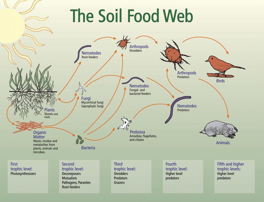
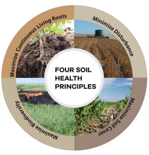
December 5th is recognized as World Soils Day. Iowa, perhaps more than any other state, owes its agricultural heritage and economy to some of the most fertile topsoil in the world. The dominant soil order across the region is called Mollisols (dark green in the below map). Mollisols are grassland soils that developed over centuries or millennia within prairie ecosystems. Within the order of Mollisols, Udolls (green in the map below) are the predominant suborder: Udolls align closely with the tallgrass prairie region, while Ustolls (another suborder of Mollisols) dominate the mixed- and short-grass prairies: More than 99.9% of Iowa's tallgrass prairies have been destroyed by human development, and largely replaced with corn. Corn is a plant within the grass family, and like the many types of native grasses, it is well-adapted to thrive in the Udoll soils. The former tallgrass prairie is now aligned closely with the Corn Belt: Iowa is divided into several soil regions (map below). In western Iowa, you've probably heard the term "loess" before. Besides the Missouri River Alluvium (14), which is floodplain soil on the flat bottoms of the Muddy Mo, most of the region is covered in a layer of loess. East of the alluvial plain are Missouri River Bluffs (13) and Very Deep Loess (12), which includes the Loess Hills landform. The Loess Hills are typically defined as having at least 60 feet of loess, though many of the bluffs adjacent to the Missouri floodplain are much deeper than that, even up to 200 feet deep. Learn more about the Loess Hills here. Loess was deposited through aeolian processes (wind-driven), with prevailing westerly winds dropping the deepest soils closer to the Missouri River. Moving east, the depth of loess gradually decreases over southern Iowa. The Des Moines lobe was glaciated more recently and lacks this loess. The depth of loess aligns closely with the EPA-designated ecoregions of Iowa. 47d (Missouri Alluvial Plain) is the same as soil region 14 above. Ecoregions 47m (Western Loess Hills) and 47e (Steeply Rolling Loess Prairies) are similar to soil regions 11 & 12. In the map below, purple areas have Peoria Loess, and green areas are alluvial soils. Most of western Iowa is either purple or green. The Des Moines lobe stands out as not having loess deposits. Loess is highly erodible. The maps below from USDA show how the deep loess soils of Iowa, along with the loess region of the Palouse in eastern Washington, have some of the worst soil erosion on the continent. Fortunately, however, conservation practices like terraces and grassed waterways have significantly reduced this erosion over the past 40 years. While many people think of soil as just dirt, there are complex ecosystems living within it. “Essentially, all life depends upon the soil… There can be no life without soil and no soil without life; they have evolved together” - Dr. Charles E Kellogg, Soil Scientist and Chief of the USDA’s Bureau for Chemistry and Soils. Even if you don't farm or garden, the food you eat on a daily basis depends on healthy soils. If soil is treated "like dirt," these webs suffer and soil health declines. Our agricultural economy, waterways, and wildlife also depend on soils to thrive. Historically, poor soil health has contributed to the collapse of entire civilizations. This is why President Franklin Delano Roosevelt said, “The nation that destroys its soil, destroys itself" following the Dust Bowl. Soil health is becoming increasingly important in agricultural discussions and we should not overlook the humble humus beneath our feet.
|
Archives
June 2024
Categories
All
|
Address712 South Highway Street
P.O. Box 189 Oakland, IA 51560 |
ContactPhone: 712-482-3029
General inquiries: [email protected] Visit our Staff Page for email addresses and office hours. |




 RSS Feed