The purpose of the Prairie Heritage Center is to provide environmental education as it relates to the prairie and the county, to preserve and protect our prairie heritage, and to encourage economic development with regards to recreation and historic exploration. Every season of the year is a great one on the prairie! The Prairie Heritage Center opened its doors to the public on November 28, 2006. Over 100,000 people have visited the center since that time. They have come from all 50 states and over 26 foreign countries. It is a great place to enjoy educational and interactive displays, hike the trails, savor the wildflowers, and engage in bird and wildlife watching. Visit the Prairie Heritage Center and check out all the things to do! text source: O'Brien County Conservation 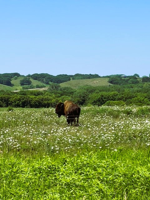 Bison at the Prairie Heritage Center (photo by O'Brien County Conservation)
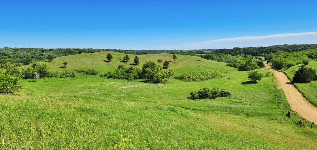
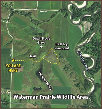
The section of Waterman Prairie south of Highway 10 offers an accessible prairie experience for byway visitors. A parking lot on Wilson Avenue, 1½ miles south of Highway 10, leads to a trail that meanders through prairie-covered ridges with spectacular vistas of the Little Sioux River valley. The Iowa Department of Natural Resources is restoring the prairie to its original plant community.
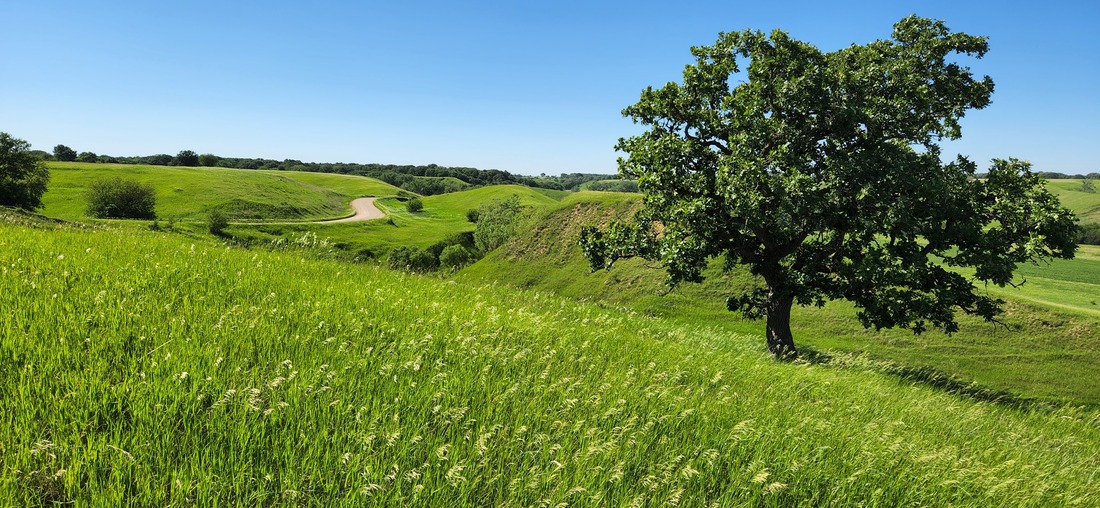 Waterman Prairie (photo by Lance Brisbois)
 Dog Creek Park (photo by Lance Brisbois)
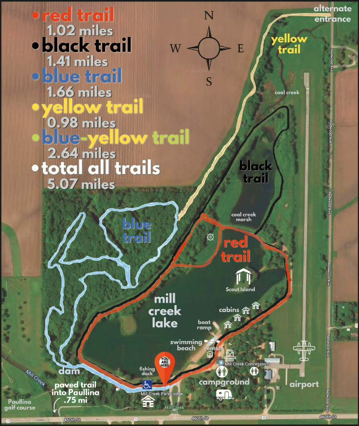
There is something for every outdoor lover at Mill Creek State Park including camping, swimming, hiking, a playground, electric boating, picnicking, and even cabin rentals. Fishing is also a popular activity, giving anglers a chance to catch largemouth bass, sunfish, channel catfish, crappie and yellow perch. Mill Creek Park is located just 1/2 mile east of Paullina on Iowa Highway 10. 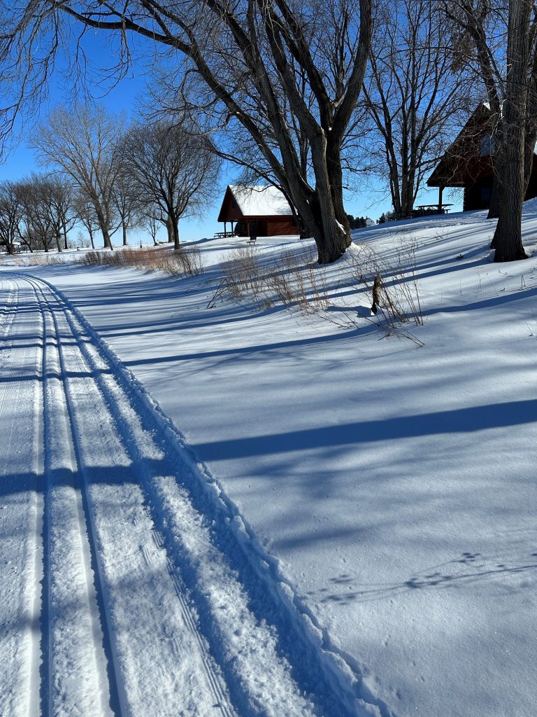 Mill Creek Park features groomed cross-country ski trails in winter.
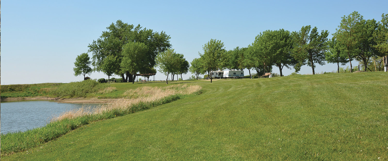 Tjossem Park (photo by O'Brien County Conservation)
 McCormack Area Hiking the Byways is a regular series by Golden Hills RC&D that features publicly accessible lands open to hiking on the three scenic byways in western Iowa that Golden Hills RC&D coordinates: Glacial Trail Scenic Byway, Loess Hills National Scenic Byway, and Western Skies Scenic Byway. Each Friday a blog post covers hiking areas in one county on one of the aforementioned byways. For questions about hiking on the byways, contact Seth Brooks ([email protected]).
0 Comments
Leave a Reply. |
Archives
June 2024
Categories
All
|
 RSS Feed