|
By Seth Brooks Today, let’s go on a hike through the northern section of the Little Sioux unit of the Loess Hills State Forest. This is my favorite hike in all of the Loess Hills for a variety of reasons. The distance (6.5 miles) is perfect for a day hike, there are some inclines to get your heart rate pumping, and the terrain covered is a perfect representation of today’s Loess Hills. The trailhead, a fifty-minute drive from Omaha, is located at 1369 Geneva Place near Pisgah, Iowa, in the Soldier River Valley. There is ample parking and a picnic shelter at the trailhead. As with all state forest land, keep in mind hunters also use the land so check if it’s hunting season and wear appropriate clothing. The trail begins behind the picnic shelter and briefly parallels the road before reaching a farmhouse. After passing the farmhouse, you’ll see a pond to your right and an open field before you. At the time of writing this blog post (October 8, 2021), there was a fence crossing the trail and cattle grazing in the field. Since this trail is on state forest land, hikers should have access; just remember to close the fence behind you and take precautions if any cattle are near the trail. This fence was not here during the winter and spring of 2020/2021 and the cattle were penned up near the farmhouse, so perhaps in a few weeks the fence will be gone. As we continue hiking, the trail climbs steadily through the open meadow. As the trail enters a wooded area, it climbs steeply to reach the top of a ridge. This area appears to once have been farmed with row crops but is now restored prairie. If you have a field guide, take some time to identify the various prairie grasses. 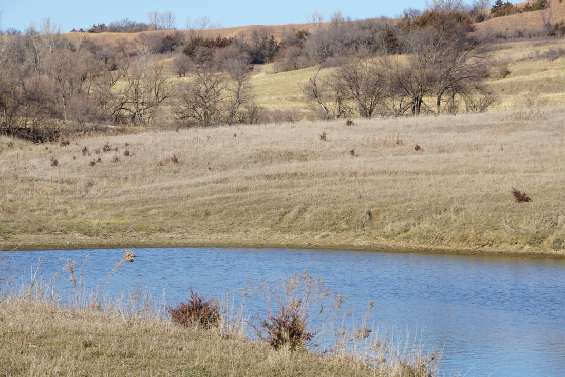 View from the trail. Photo by Seth Brooks. 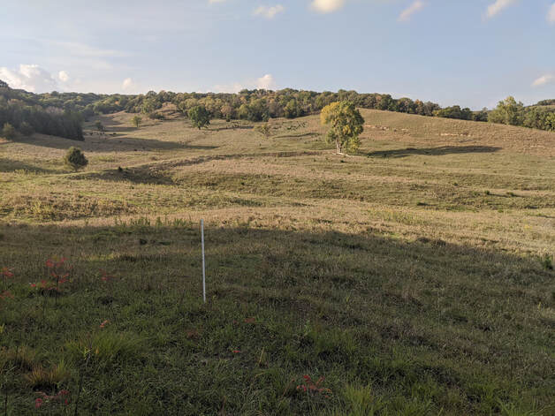 View from the trail. Photo by Seth Brooks. 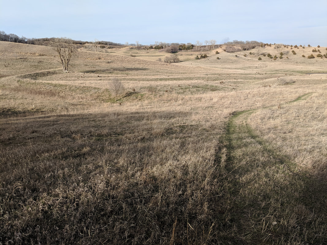 View from the trail. Photo by Seth Brooks. 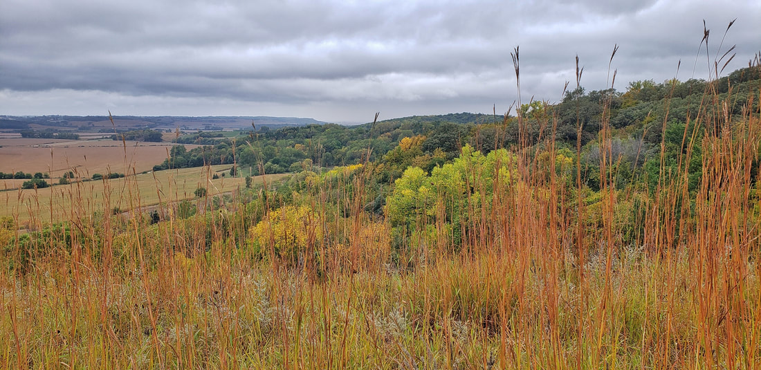 View from the trail. Photo by Lance Brisbois Follow the trail atop the ridge for 0.3 mile until you reach a trail descending on your left (a trail marker used to mark this junction but was absent as of October 2021). Continue straight atop the ridge (you will loop back to this junction as you return to the trailhead to finish the hike). Keep to your left at a fork--the trail is slightly obscured by an eastern redcedar at the fork. Soon you will pass an unmarked trail on your right that leads to a stand of pine trees. If you are curious about the pines, take the trail leading through the pine grove but return to the trail you have been following. There are signs of a recent fire that has stripped the pines of the needles on lower branches and turkey tail mushrooms growing on the forest floor. 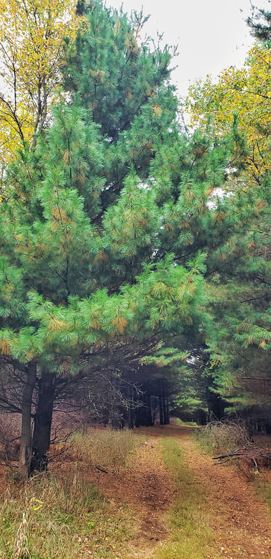 View from the trail. Photo by Lance Brisbois Back on the trail, at the two-mile point of the hike, the trail intersects with Brent’s Trail. Turn left to follow the trail markers for Brent’s Trail (shaped like bur oak leaves) but only for 0.2 mile. When you reach a fork, leave Brent’s Trail by taking the right fork that descends down the hillside to a beautiful mixed grass prairie below the ridge. The grass here, if not recently cut, grows to over five feet. Look across the meadow on the opposite hillside: perhaps you’ll see whitetail deer foraging. As you approach Fulton Avenue, turn left at an unmarked junction to climb back up to the top of the ridge (you can avoid this climb by staying atop the ridge and following Brent’s Trail, but you will miss the beautiful mixed grass prairie). Once you’ve climbed back atop the ridge, you have two options: turn right to head due southeast following Brent’s Trail along the ridge; or take a shortcut, avoiding the ridge, and continue straight to descend to the field on the east side of the ridge. This second option cuts one mile off the total distance of the hike. I recommend following Brent’s Trail along the ridge until it descends through redcedars and arrives at an open field. There is a parking area near where you can rest under a large cottonwood. However, before reaching the parking area, turn north to hike along the western edge of the field for a half mile. You’ll arrive at a fork and keep right as the trail heads east to climb up a ridge and the junction that was described earlier to return to the trailhead. It’s 1.5 miles back to the trailhead, passing once again through the restored prairie on the ridge and the open meadow near the farmhouse and pond. 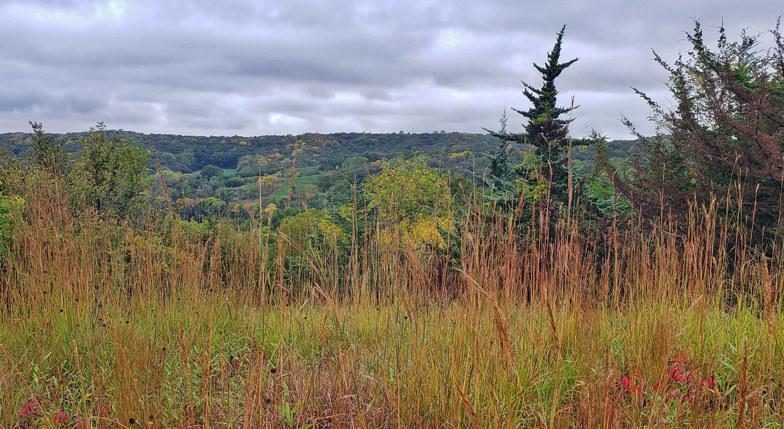 View from the trail. Photo by Lance Brisbois 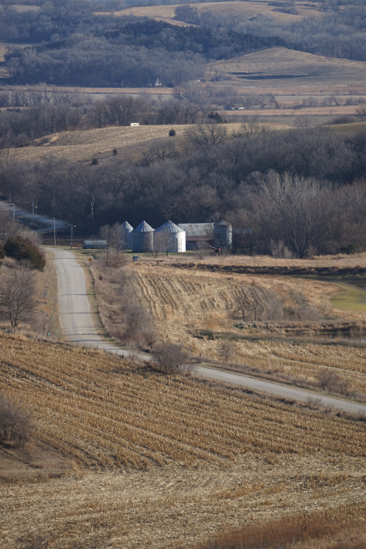 View from the trail. Photo by Seth Brooks. 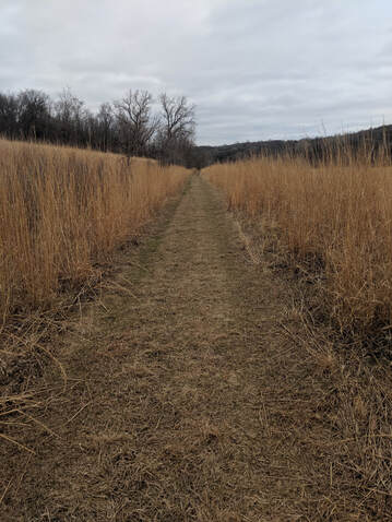 View from the trail. Photo by Seth Brooks. 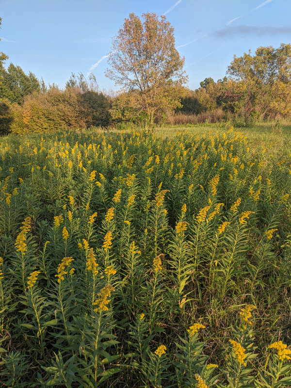 View from the trail. Photo by Seth Brooks. 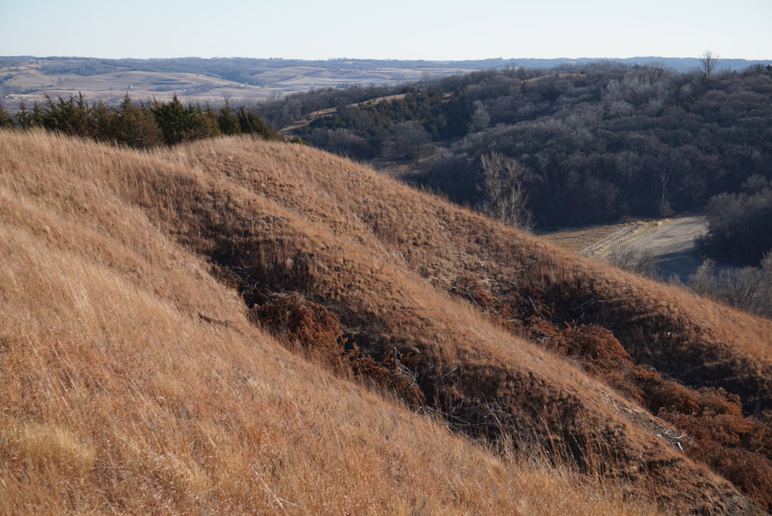 View from the trail. Photo by Seth Brooks. 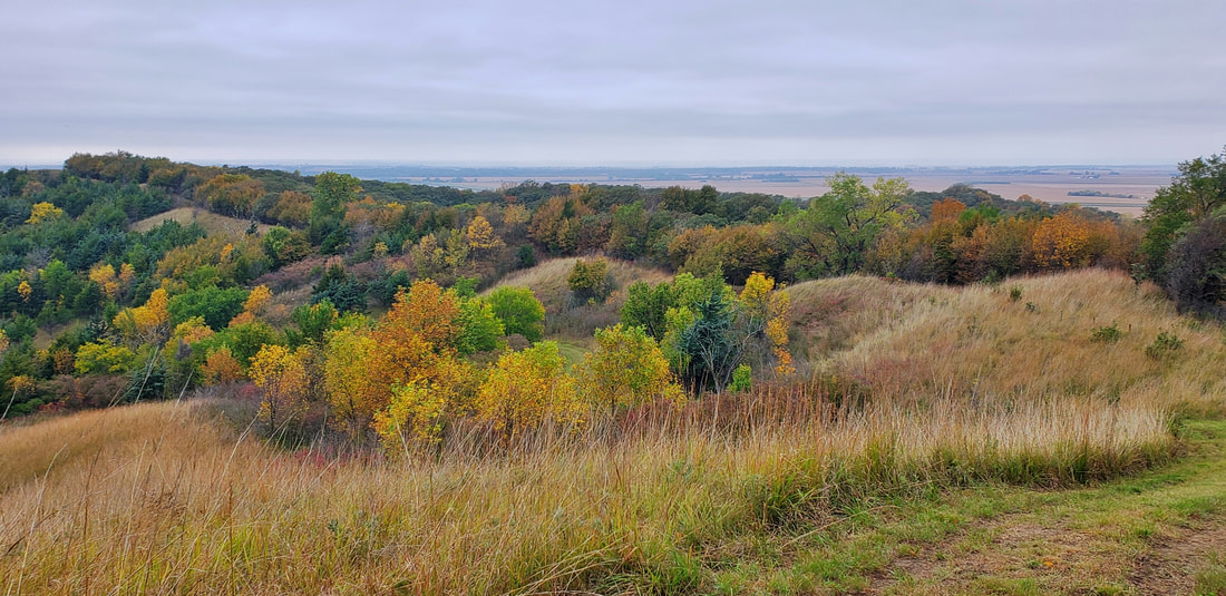 View from the trail. Photo by Lance Brisbois 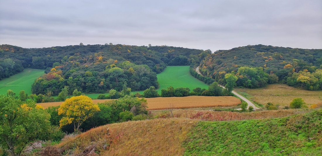 View from the trail. Photo by Lance Brisbois 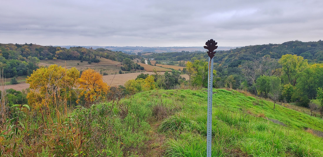 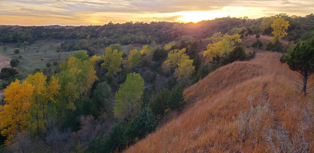 View from the trail. Photo by Lance Brisbois 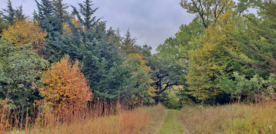 View from the trail. Photo by Lance Brisbois Maps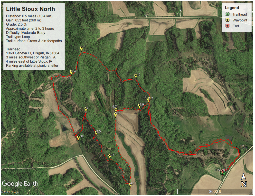
0 Comments
Leave a Reply. |
Archives
June 2024
Categories
All
|
 RSS Feed